Old Maps of Grand Prairie Township, North Dakota for Genealogy
Trace your family roots with 28 historic maps of Grand Prairie Township. These high-res maps reveal old neighborhoods, homesites, landmarks, and streets — helping you uncover where your ancestors lived and how the area evolved over time.
- Explore historic neighborhoods: Identify where your relatives may have lived in the 1800s or 1900s.
- Compare maps over time: Trace the changes in streets, buildings, and landmarks for multi-generational research.
- Perfect for genealogy & ancestry research: Used by family historians and researchers to map out lineage and migration.
These maps are an incredible resource for exploring your personal connection to Grand Prairie Township's past.
Grand Prairie Township, ND maps
(28)- 1952 Map of Grand Forks, 1967 Print
 1952 Grand Forks1967 Print · USGSThe Red River Valley in the early fifties is shown here at the height of its rail-and-river agricultural economy. Researchers can locate small-town landmarks like the Pleasant View School, the Immanuel Lutheran Church, and trace the path of the Soo Line Railroad.3 unique versions available
 - 1956 Map of Grand Forks
 1956 Grand Forks1956 Print · USGSThe Red River Valley in the mid-fifties is captured here as a thriving corridor of grain elevators and rail-linked towns along the North Dakota and Minnesota border. Researchers can trace historic church sites like Immanuel Lutheran Church, vanished rail stops at Tilde Junction, and the boundaries of the White Earth Indian Reservation.
 - 1966 Map of Grand Forks
 1966 Grand Forks1966 Print · USGSThe Red River Valley in the mid-sixties shows a landscape shaped by rail-line commerce and complex water management. Genealogists and historians can trace rail-side towns like Emerado and Hunter or locate rural landmarks like the Pleasant View Church.
 - 1967 Map of Pillsbury SE, 1969 Print
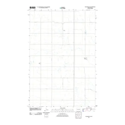
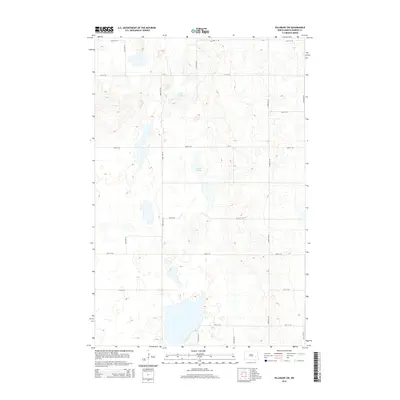
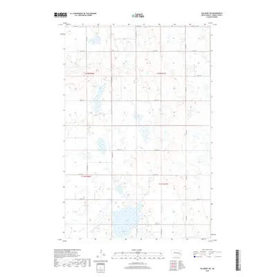
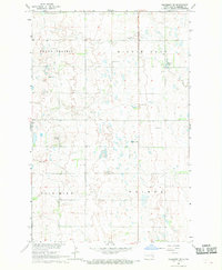 1967 Pillsbury SE1969 Print · USGSThe glacial wetlands and high plains of Barnes County are documented here in the late sixties. Genealogists and researchers can locate the Morton Cem, the community Townhall, and the landmark Minnie Lake Ch near the waters of Minnie Lake.
 - 1967 Map of Pillsbury SW, 1969 Print
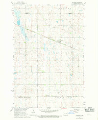
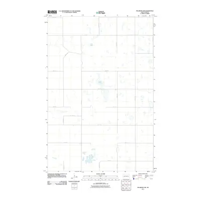
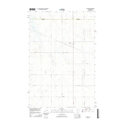
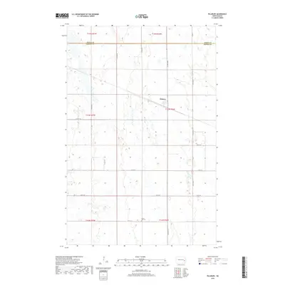
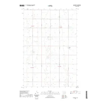
 1967 Pillsbury SW1969 Print · USGSBarnes County's prairie wetlands and township divisions are captured here in the late sixties. Researchers can locate civic landmarks and family burial sites like the Townhall and Free Cem, or trace the shoreline of Adams Slough and Crow Lake.
 - 1967 Map of Pillsbury, 1969 Print
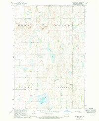
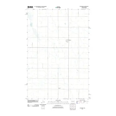
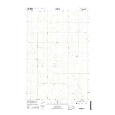
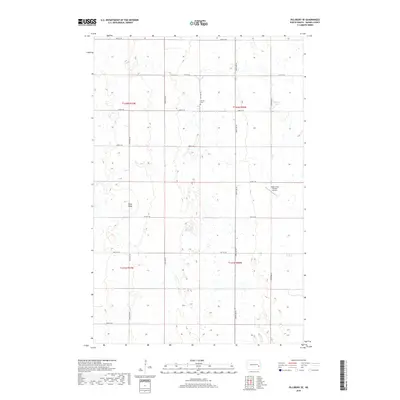
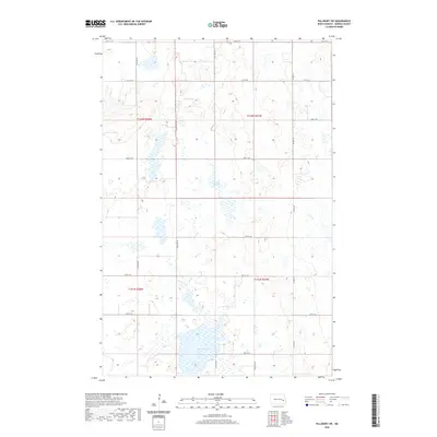
 1967 Pillsbury1969 Print · USGSThe eastern North Dakota prairie comes into focus during the late sixties as agricultural patterns and rail transport define the landscape. Genealogists can locate the Minnie Lake Cem and trace the Great Northern railroad as it passes through Pillsbury.
 - 1967 Map of Sibley, 1969 Print
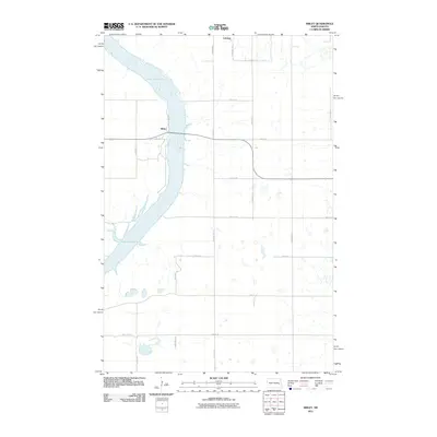
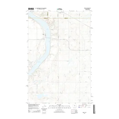
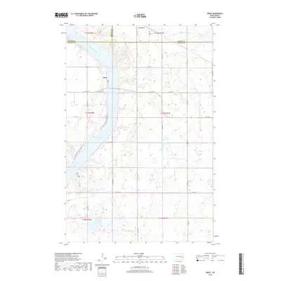
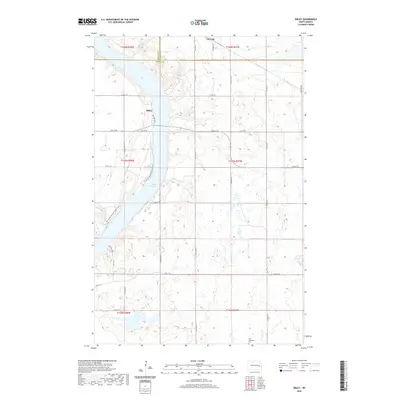
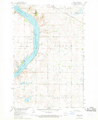 1967 Sibley1969 Print · USGSThe Sheyenne River valley and Lake Ashtabula are captured here in the late sixties, showing the intersection of water management and local prairie life. Genealogists and historians can trace the Sibley settlement, the Free Cem, and the path of the Great Northern railroad.
 - 1985 Map of Hillsboro
 1985 Hillsboro1985 Print · USGSEastern North Dakota’s expansive farming country is mapped here in the mid-1980s, showing the vital link between rail lines and prairie towns. Genealogists and historians can trace family locations near Mayville, Sherbrooke, and the Mayville Cem.2 unique versions available
 - 2011 Map of Pillsbury, 2011 Print
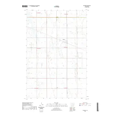
 2011 Pillsbury2011 Print · USGSCovers Grand Prairie Township, including Pillsbury, Carpenter Township, and other nearby areas
 - 2011 Map of Pillsbury SW, 2011 Print
 2011 Pillsbury SW2011 Print · USGSCovers Grand Prairie Township, including Noltimier Township, Getchell Township, and other nearby areas
 - 2011 Map of Pillsbury SE, 2011 Print
 2011 Pillsbury SE2011 Print · USGSCovers Grand Prairie Township, including Noltimier Township, Minnie Lake Township, and other nearby areas
 - 2011 Map of Sibley, 2011 Print
 2011 Sibley2011 Print · USGSCovers Grand Prairie Township, including Sibley, Luverne, and other nearby areas
 - 2014 Map of Pillsbury SE, 2014 Print
 2014 Pillsbury SE2014 Print · USGSCovers Grand Prairie Township, including Noltimier Township, Minnie Lake Township, and other nearby areas
 - 2014 Map of Sibley, 2014 Print
 2014 Sibley2014 Print · USGSCovers Grand Prairie Township, including Sibley, Luverne, and other nearby areas
 - 2014 Map of Pillsbury, 2014 Print
 2014 Pillsbury2014 Print · USGSCovers Grand Prairie Township, including Pillsbury, Carpenter Township, and other nearby areas
 - 2014 Map of Pillsbury SW, 2014 Print
 2014 Pillsbury SW2014 Print · USGSCovers Grand Prairie Township, including Noltimier Township, Getchell Township, and other nearby areas
 - 2018 Map of Sibley, 2018 Print
 2018 Sibley2018 Print · USGSCovers Grand Prairie Township, including Sibley, Luverne, and other nearby areas
 - 2018 Map of Pillsbury SE, 2018 Print
 2018 Pillsbury SE2018 Print · USGSCovers Grand Prairie Township, including Noltimier Township, Minnie Lake Township, and other nearby areas
 - 2018 Map of Pillsbury SW, 2018 Print
 2018 Pillsbury SW2018 Print · USGSCovers Grand Prairie Township, including Noltimier Township, Getchell Township, and other nearby areas
 - 2018 Map of Pillsbury, 2018 Print
 2018 Pillsbury2018 Print · USGSCovers Grand Prairie Township, including Pillsbury, Carpenter Township, and other nearby areas
 - 2020 Map of Pillsbury SW, 2020 Print
 2020 Pillsbury SW2020 Print · USGSCovers Grand Prairie Township, including Noltimier Township, Getchell Township, and other nearby areas
 - 2020 Map of Pillsbury SE, 2020 Print
 2020 Pillsbury SE2020 Print · USGSCovers Grand Prairie Township, including Noltimier Township, Minnie Lake Township, and other nearby areas
 - 2020 Map of Pillsbury, 2020 Print
 2020 Pillsbury2020 Print · USGSCovers Grand Prairie Township, including Pillsbury, Carpenter Township, and other nearby areas
 - 2020 Map of Sibley, 2020 Print
 2020 Sibley2020 Print · USGSCovers Grand Prairie Township, including Sibley, Luverne, and other nearby areas
 - 2024 Map of Sibley, 2024 Print
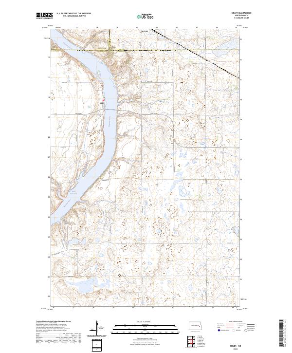 2024 Sibley2024 Print · USGSThe Sheyenne River valley and Lake Ashtabula define this Barnes County landscape in the modern era. Trace the path of the North Country National Scenic Trl or locate rural homesteads near Sibley and Luverne.
Showing maps 1-25 of 28
Top cities near Grand Prairie Township
- Valley City historical maps
- Hope historical maps
- Tower City historical maps
- Oriska historical maps
- Colgate Township historical maps
- Sibley historical maps
See more
Frequently asked questions
- What are the different types of historical maps available for Grand Prairie Township?
- What is the oldest map of Grand Prairie Township?
- Where can I purchase historical maps of Grand Prairie Township for my home or office?
- Where can I download high-res historical maps of Grand Prairie Township?
- Are there historical topographic maps available for Grand Prairie Township?
- Is there historical aerial imagery available for Grand Prairie Township?
- Where are historical maps of Grand Prairie Township sourced from?