Old Maps of Sibley Trail Township, North Dakota for Hiking & Exploration
Hike through history with 20 historic maps of Sibley Trail Township. Explore old trails, ghost towns, and forgotten backroads — perfect for outdoor adventurers and local explorers.
- Rediscover forgotten places: Map out old mining camps, roads, and footpaths that no longer exist on modern maps.
- Layer with modern tools: Combine with LiDAR or satellite views to plan hikes through historical terrain.
- Made for exploration: Popular among hikers, overlanders, and local history lovers.
Use these maps to find adventure and explore the hidden past of Sibley Trail Township.
Sibley Trail Township, ND maps
(20)- 1952 Map of Grand Forks, 1967 Print
 1952 Grand Forks1967 Print · USGSThe Red River Valley in the early fifties is shown here at the height of its rail-and-river agricultural economy. Researchers can locate small-town landmarks like the Pleasant View School, the Immanuel Lutheran Church, and trace the path of the Soo Line Railroad.3 unique versions available
 - 1952 Map of New Rockford, 1968 Print
 1952 New Rockford1968 Print · USGSThe North Dakota prairie during the mid-1950s was a landscape of rail-dependent farm towns and vast wildlife refuges. Genealogists and historians can trace the foundations of local communities at Fort Totten Indian Agenc, Concordia Lutheran Church, and the Bowdon Country Church and Cemetery.3 unique versions available
 - 1956 Map of New Rockford
 1956 New Rockford1956 Print · USGSMid-century central North Dakota is captured here as a landscape of prairie rail towns and vast wildlife refuges. Trace family roots at the Bowdon Country Church and Cemetery or locate the old St Michael Mission School and Fort Totten.
 - 1956 Map of Grand Forks
 1956 Grand Forks1956 Print · USGSThe Red River Valley in the mid-fifties is captured here as a thriving corridor of grain elevators and rail-linked towns along the North Dakota and Minnesota border. Researchers can trace historic church sites like Immanuel Lutheran Church, vanished rail stops at Tilde Junction, and the boundaries of the White Earth Indian Reservation.
 - 1961 Map of Dazey NE, 1963 Print
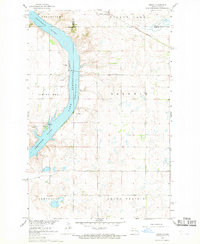
 1961 Dazey NE1963 Print · USGSThe Sheyenne River valley in Barnes County appears here just as the landscape was adapting to the creation of Lake Ashtabula. Researchers can trace the historical Sibley Trail and locate rural landmarks like St Marys Ch, Sunnyside Cem, and School No 25.
 - 1966 Map of Grand Forks
 1966 Grand Forks1966 Print · USGSThe Red River Valley in the mid-sixties shows a landscape shaped by rail-line commerce and complex water management. Genealogists and historians can trace rail-side towns like Emerado and Hunter or locate rural landmarks like the Pleasant View Church.
 - 1967 Map of Sibley, 1969 Print
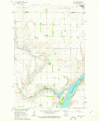
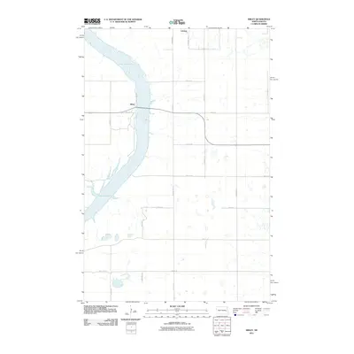
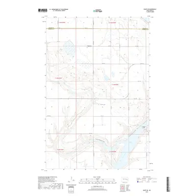
 1967 Sibley1969 Print · USGSThe Sheyenne River valley and Lake Ashtabula are captured here in the late sixties, showing the intersection of water management and local prairie life. Genealogists and historians can trace the Sibley settlement, the Free Cem, and the path of the Great Northern railroad.
 - 1971 Map of New Rockford, 1974 Print
 1971 New Rockford1974 Print · USGSCentral North Dakota was a landscape of wildlife refuges and rail-linked agricultural towns in the early seventies. Genealogists and local historians can trace the development of the Fort Totten Indian Reservation and locate old railway points like Maddock, Hamal, and Kloten.
 - 1985 Map of Cooperstown
 1985 Cooperstown1985 Print · USGSGriggs and Barnes Counties are seen here in the mid-eighties, a period where the prairie economy centered on rail lines and river reservoirs. Genealogists and local historians can trace family locations near Wimbledon, Hannaford, and Spiritwood Lake or locate the Fish Hatchery and Gaging Station along the Sheyenne River.2 unique versions available
 - 1985 Map of Hillsboro
 1985 Hillsboro1985 Print · USGSEastern North Dakota’s expansive farming country is mapped here in the mid-1980s, showing the vital link between rail lines and prairie towns. Genealogists and historians can trace family locations near Mayville, Sherbrooke, and the Mayville Cem.2 unique versions available
 - 2011 Map of Dazey NE, 2011 Print
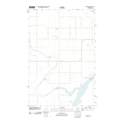 2011 Dazey NE2011 Print · USGSCovers Sibley Trail Township, including Ashtabula Township, Rogers Township, and other nearby areas
 - 2011 Map of Sibley, 2011 Print
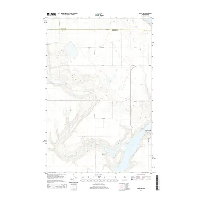
 2011 Sibley2011 Print · USGSCovers Sibley Trail Township, including Sibley, Luverne, and other nearby areas
 - 2014 Map of Sibley, 2014 Print
 2014 Sibley2014 Print · USGSCovers Sibley Trail Township, including Sibley, Luverne, and other nearby areas
 - 2014 Map of Dazey NE, 2014 Print
 2014 Dazey NE2014 Print · USGSCovers Sibley Trail Township, including Ashtabula Township, Rogers Township, and other nearby areas
 - 2018 Map of Sibley, 2018 Print
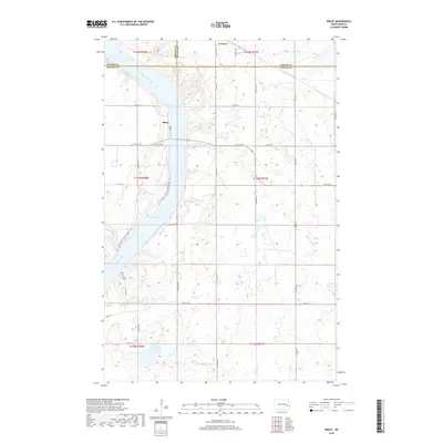 2018 Sibley2018 Print · USGSCovers Sibley Trail Township, including Sibley, Luverne, and other nearby areas
 - 2018 Map of Dazey NE, 2018 Print
 2018 Dazey NE2018 Print · USGSCovers Sibley Trail Township, including Ashtabula Township, Rogers Township, and other nearby areas
 - 2020 Map of Sibley, 2020 Print
 2020 Sibley2020 Print · USGSCovers Sibley Trail Township, including Sibley, Luverne, and other nearby areas
 - 2020 Map of Dazey NE, 2020 Print
 2020 Dazey NE2020 Print · USGSCovers Sibley Trail Township, including Ashtabula Township, Rogers Township, and other nearby areas
 - 2024 Map of Sibley, 2024 Print
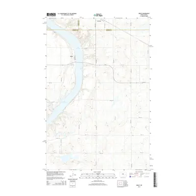
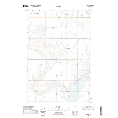
 2024 Sibley2024 Print · USGSThe Sheyenne River valley and Lake Ashtabula define this Barnes County landscape in the modern era. Trace the path of the North Country National Scenic Trl or locate rural homesteads near Sibley and Luverne.
 - 2024 Map of Dazey NE, 2024 Print
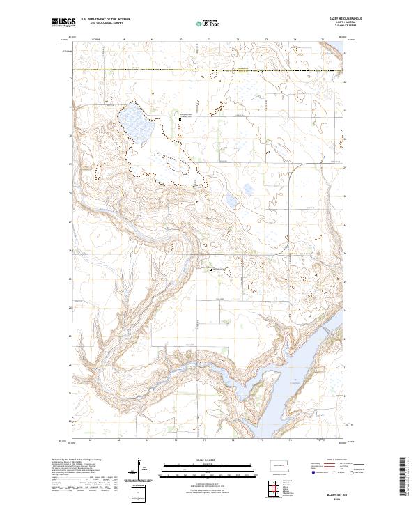 2024 Dazey NE2024 Print · USGSThe Barnes and Griggs county line comes alive in this contemporary map of North Dakota's prairie pothole region. Genealogists and hikers can trace the North Country National Scenic Trl or locate family plots at Saint Marys Cem and Sunnyside Cem / Ladbury Cem.
End of results
Showing maps 1-20 of 20
Top cities near Sibley Trail Township
- Hannaford historical maps
- Dazey historical maps
- Rogers historical maps
- Sibley historical maps
- Luverne historical maps
- Pillsbury historical maps
Frequently asked questions
- What are the different types of historical maps available for Sibley Trail Township?
- What is the oldest map of Sibley Trail Township?
- Where can I purchase historical maps of Sibley Trail Township for my home or office?
- Where can I download high-res historical maps of Sibley Trail Township?
- Are there historical topographic maps available for Sibley Trail Township?
- Is there historical aerial imagery available for Sibley Trail Township?
- Where are historical maps of Sibley Trail Township sourced from?