Old Maps of Brinsmade, North Dakota for Academic Research
Study the evolution of Brinsmade with 10 high-resolution historic maps. Whether you're teaching, researching, or modeling changes in land use, these maps provide essential visual documentation of urban, environmental, and geographic change.
- Analyze long-term change: Track patterns in development, transportation, and natural features.
- Ideal for environmental or urban studies: Support academic projects with primary historical map data.
- Use in the classroom or lab: Educators and researchers rely on these maps to bring historical context to life.
These maps are a powerful tool for teaching, research, and visualizing how Brinsmade has changed over the decades.
Brinsmade, ND maps
(10)- 1953 Map of Devils Lake, 1968 Print
 1953 Devils Lake1968 Print · USGSNorth Dakota's northern plains are captured here in the mid-fifties, showing a landscape of rail-fed grain elevators and prairie wetlands. Genealogists can locate family landmarks like Rose Hill School, Hurricane Lake Church, and the Turtle Mountain Indian Reservation.3 unique versions available
 - 1956 Map of Devils Lake
 1956 Devils Lake1956 Print · USGSNorthern North Dakota is shown at a mid-century peak of rail-driven agriculture, where the Soo Line and Great Northern railroads cross the prairie. Trace the borders of the Turtle Mountain Indian Reservation and locate local landmarks like Rose Hill School or Camp Grafton.
 - 1956 Map of Brinsmade, 1983 Print
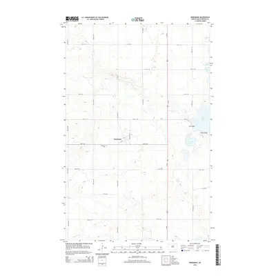
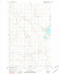 1956 Brinsmade1983 Print · USGSBenson County at mid-century shows a landscape of prairie lakes and vital rail connections during the transition of rural education. Genealogists can locate Brinsmade Cem, Gallinger Sch, and the rail junction of the Northern Pacific.
 - 1957 Map of Brinsmade, 1958 Print
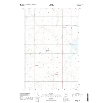
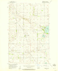 1957 Brinsmade1958 Print · USGSBenson County prairie life in the late fifties centers on the rail junction at Brinsmade and the surrounding townships. Genealogists and historians can trace local landmarks like the Brinsmade Cem, Gallinger Sch, and the protected waters of Silver Lake National Wildlife Refuge.
 - 1985 Map of Leeds, 1994 Print
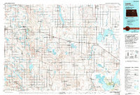 1985 Leeds1994 Print · USGSBenson and Ramsey counties are shown during the mid-eighties as a patchwork of prairie agriculture and vital wetland habitats. Researchers can locate family roots at Knox Cem, trace the Soo Line rail corridors, or explore the fringes of Devils Lake.
 - 2011 Map of Brinsmade, 2011 Print
 2011 Brinsmade2011 Print · USGSCovers Brinsmade, including Benson County, United States, and other nearby areas
 - 2014 Map of Brinsmade, 2014 Print
 2014 Brinsmade2014 Print · USGSCovers Brinsmade, including Benson County, United States, and other nearby areas
 - 2017 Map of Brinsmade, 2017 Print
 2017 Brinsmade2017 Print · USGSCovers Brinsmade, including Benson County, United States, and other nearby areas
 - 2020 Map of Brinsmade, 2020 Print
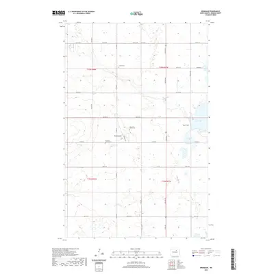 2020 Brinsmade2020 Print · USGSCovers Brinsmade, including Benson County, United States, and other nearby areas
 - 2024 Map of Brinsmade, 2024 Print
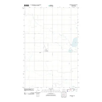
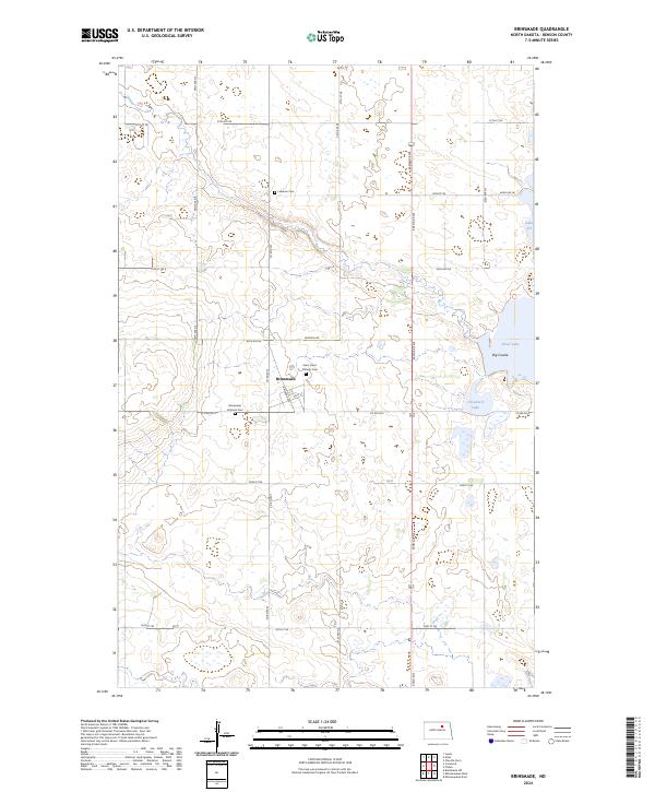 2024 Brinsmade2024 Print · USGSBenson County prairie and wetlands come into sharp focus in this recent survey of the North Dakota landscape. Researchers can trace local lineage at Saint John's Catholic Cem and Lebanon Cem or explore the edges of Silver Lake National Wildlife Refuge.
End of results
Showing maps 1-10 of 10
Top cities near Brinsmade
- Maddock historical maps
- Leeds historical maps
- Lallie historical maps
- Minnewaukan historical maps
- Churchs Ferry historical maps
- Maza historical maps
Frequently asked questions
- What are the different types of historical maps available for Brinsmade?
- What is the oldest map of Brinsmade?
- Where can I purchase historical maps of Brinsmade for my home or office?
- Where can I download high-res historical maps of Brinsmade?
- Are there historical topographic maps available for Brinsmade?
- Is there historical aerial imagery available for Brinsmade?
- Where are historical maps of Brinsmade sourced from?