Old Maps of Fairfield, North Dakota for Hiking & Exploration
Hike through history with 11 historic maps of Fairfield. Explore old trails, ghost towns, and forgotten backroads — perfect for outdoor adventurers and local explorers.
- Rediscover forgotten places: Map out old mining camps, roads, and footpaths that no longer exist on modern maps.
- Layer with modern tools: Combine with LiDAR or satellite views to plan hikes through historical terrain.
- Made for exploration: Popular among hikers, overlanders, and local history lovers.
Use these maps to find adventure and explore the hidden past of Fairfield.
Fairfield, ND maps
(11)- 1953 Map of Watford City, 1968 Print
 1953 Watford City1968 Print · USGSNorth Dakota's badlands and the Missouri River basin are captured here during the 1950s and 60s as the Garrison Dam changed the landscape. Researchers can trace old rail lines like the Great Northern or find rural outposts such as Grassy Butte and Halliday.3 unique versions available
 - 1957 Map of Watford City
 1957 Watford City1957 Print · USGSWestern North Dakota's landscape is captured here during the mid-fifties as the Missouri River valley undergoes massive change following the creation of Garrison Reservoir. Genealogists and historians can trace dozens of rural schools like Divide School and early settlements such as Arnegard and Grassy Butte.
 - 1963 Map of Fairfield, 1964 Print
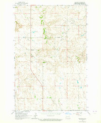 1963 Fairfield1964 Print · USGSBillings County's rural ranching and farming landscape is captured in the early 1960s, centered on the community of Fairfield. Genealogists can trace local landmarks like the Immaculate Conception Cem and a network of district schools, including Hecker Sch and Glade Sch.2 unique versions available
 - 1967 Map of Watford City
 1967 Watford City1967 Print · USGSWestern North Dakota is captured during a period of landscape transformation as the Missouri River valley was reshaped by the new Garrison Reservoir. Genealogists and local historians can trace the foundations of Watford City, find the Elkhorn Ranch Site, or locate rural landmarks like Ziner Butte and Grassy Butte.
 - 1983 Map of Grassy Butte
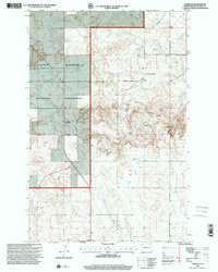
 1983 Grassy Butte1983 Print · USGSWestern North Dakota’s Badlands are mapped here in the early 1980s, centered on the Little Missouri River and its rugged breaks. Local historians can trace the boundaries of Grassy Butte and Fairfield, alongside landmarks like Pikes Peak and the isolated Elkhorn Ranch Site.
 - 1997 Map of Fairfield, 2001 Print
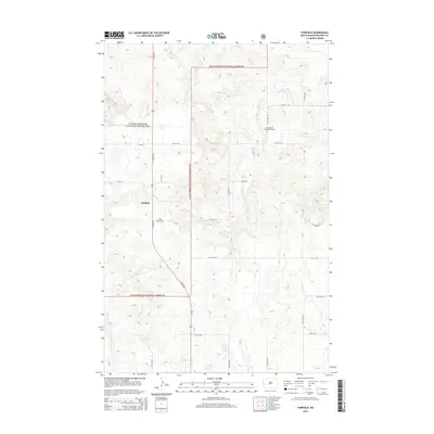
 1997 Fairfield2001 Print · USGSBillings County, North Dakota, is shown in the late nineties as a landscape of national grasslands and quiet prairie outposts. Researchers can trace the civic footprint of Fairfield, including the Fairfield Post Office, Hecker Sch, and Immaculate Conception Cem.
 - 2011 Map of Fairfield, 2011 Print
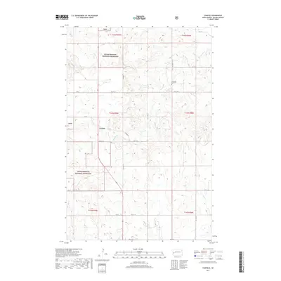
 2011 Fairfield2011 Print · USGSCovers Fairfield, including Billings County, United States, and other nearby areas
 - 2014 Map of Fairfield, 2014 Print
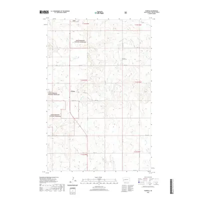
 2014 Fairfield2014 Print · USGSCovers Fairfield, including Billings County, United States, and other nearby areas
 - 2017 Map of Fairfield, 2017 Print
 2017 Fairfield2017 Print · USGSCovers Fairfield, including Billings County, United States, and other nearby areas
 - 2020 Map of Fairfield, 2020 Print
 2020 Fairfield2020 Print · USGSCovers Fairfield, including Billings County, United States, and other nearby areas
 - 2024 Map of Fairfield, 2024 Print
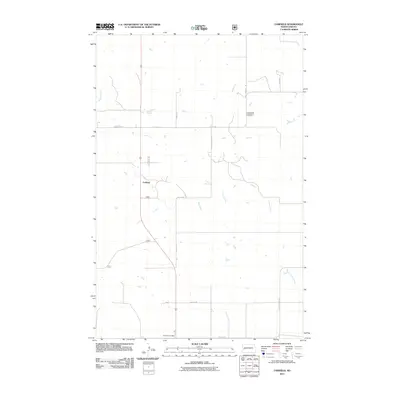
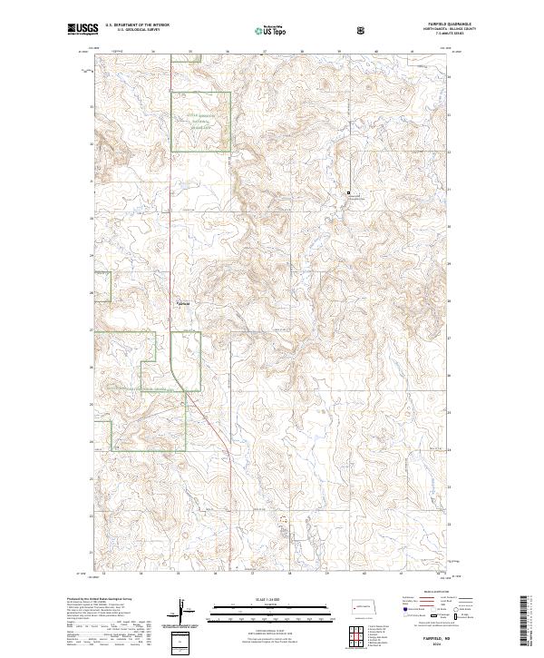 2024 Fairfield2024 Print · USGSFairfield and the surrounding Billings County plains are documented here in the early twenty-first century. Genealogists and local historians can locate the Immaculate Conception Cem and trace the paths of the Knife River and Horse Creek through the Little Missouri National Grassland.
End of results
Showing maps 1-11 of 11
Frequently asked questions
- What are the different types of historical maps available for Fairfield?
- What is the oldest map of Fairfield?
- Where can I purchase historical maps of Fairfield for my home or office?
- Where can I download high-res historical maps of Fairfield?
- Are there historical topographic maps available for Fairfield?
- Is there historical aerial imagery available for Fairfield?
- Where are historical maps of Fairfield sourced from?