Old Maps of Menoken, North Dakota for Genealogy
Trace your family roots with 11 historic maps of Menoken. These high-res maps reveal old neighborhoods, homesites, landmarks, and streets — helping you uncover where your ancestors lived and how the area evolved over time.
- Explore historic neighborhoods: Identify where your relatives may have lived in the 1800s or 1900s.
- Compare maps over time: Trace the changes in streets, buildings, and landmarks for multi-generational research.
- Perfect for genealogy & ancestry research: Used by family historians and researchers to map out lineage and migration.
These maps are an incredible resource for exploring your personal connection to Menoken's past.
Menoken, ND maps
(11)- 1907 Map of Bismarck
 1907 Bismarck1907 Print · USGSThe Missouri River corridor at the turn of the century shows North Dakota's capital and rail hubs in their formative years. Researchers can trace early land divisions and transport routes like the Fort Yates Stage Road and landmarks such as Fort Lincoln or St Anthony.2 unique versions available
 - 1951 Map of Menoken, 1952 Print
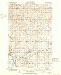 1951 Menoken1952 Print · USGSMid-century Burleigh County comes into focus as a landscape of prairie townships and vital transportation links. Trace the rural roots of the region through landmarks like the State Penitentiary, Menoken (Burleigh Sta), and Swedish Cem.2 unique versions available
 - 1954 Map of Bismarck, 1967 Print
 1954 Bismarck1967 Print · USGSBismarck and the Missouri River basin are shown in the mid-1960s as the Oahe Reservoir reshaped the valley. Genealogists can trace family-named landmarks like Dog Tooth Buttes and small prairie settlements such as Fort Yates, Selfridge, and Brisbane.2 unique versions available
 - 1958 Map of Bismarck
 1958 Bismarck1958 Print · USGSCentral North Dakota in the late fifties is defined by the Missouri River and the sprawling Standing Rock Indian Reservation. Genealogists and historians can trace rail-line outposts like Sedalia Siding or explore local landmarks like Saint Anthony and Fort Lincoln State Park/Museum.
 - 1975 Map of Menoken, 1977 Print
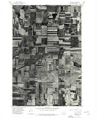 1975 Menoken1977 Print · USGSAgricultural patterns in Burleigh County are captured in the mid-1970s, showing the high-contrast geometry of the North Dakota prairie. Researchers can trace the winding course of Apple Creek and the small-town layout of Menoken at the crossroads of the rail and highway system.2 unique versions available
 - 1979 Map of Bismarck, 1980 Print
 1979 Bismarck1980 Print · USGSBismarck and Mandan sit at the heart of this late-century North Dakota survey, where the Missouri River flows past historic frontier outposts. Trace the old Soo Line rail corridors or locate family landmarks near St Anthony, Fort Rice, and Custer Flats.
 - 2011 Map of Menoken, 2011 Print
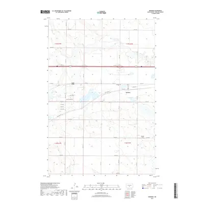
 2011 Menoken2011 Print · USGSCovers Menoken, including Apple Valley, Burleigh County, and other nearby areas
 - 2014 Map of Menoken, 2014 Print
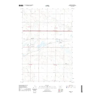
 2014 Menoken2014 Print · USGSCovers Menoken, including Apple Valley, Burleigh County, and other nearby areas
 - 2017 Map of Menoken, 2017 Print
 2017 Menoken2017 Print · USGSCovers Menoken, including Apple Valley, Burleigh County, and other nearby areas
 - 2020 Map of Menoken, 2020 Print
 2020 Menoken2020 Print · USGSCovers Menoken, including Apple Valley, Burleigh County, and other nearby areas
 - 2024 Map of Menoken, 2024 Print
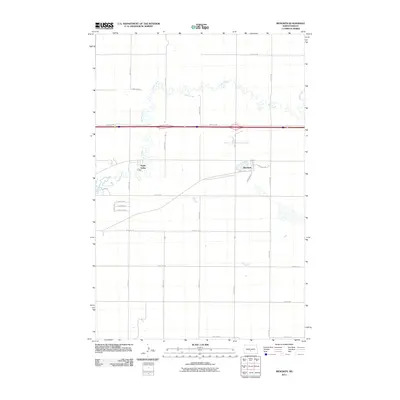
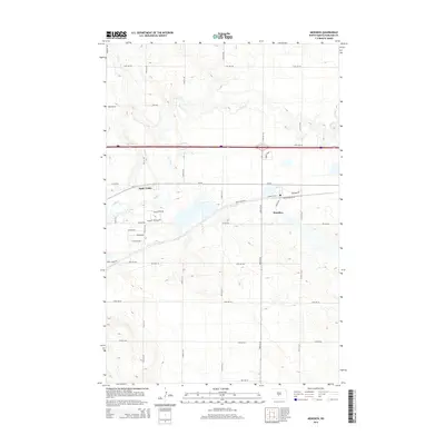
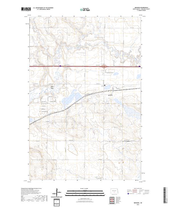 2024 Menoken2024 Print · USGSNorth Dakota's rural heartland comes into focus in the mid-2020s, showing a blend of prairie conservation and developing residential communities. Genealogists and historians can trace the town of Menoken, the local Menoken Cem, and transportation links like the BNSF Railway.
End of results
Showing maps 1-11 of 11
Top cities near Menoken
Frequently asked questions
- What are the different types of historical maps available for Menoken?
- What is the oldest map of Menoken?
- Where can I purchase historical maps of Menoken for my home or office?
- Where can I download high-res historical maps of Menoken?
- Are there historical topographic maps available for Menoken?
- Is there historical aerial imagery available for Menoken?
- Where are historical maps of Menoken sourced from?