Old Maps of Lake Township, North Dakota for Metal Detecting
Plan your next treasure hunt with 28 historic maps of Lake Township. Find old homesites, ghost towns, trails, and gathering spots that may be lost to time — perfect for identifying promising metal detecting locations.
- Locate forgotten sites: Uncover places like long-lost settlements, abandoned rail lines, or gathering spots.
- Plan better hunts: Use map overlays combined with LiDAR or satellite views to narrow in on historically rich areas.
- Made for detectorists: Thousands of hobbyists use these maps to discover relics, coins, and hidden history.
Use these historic maps to boost your research and find new opportunities beneath the surface of Lake Township.
Lake Township, ND maps
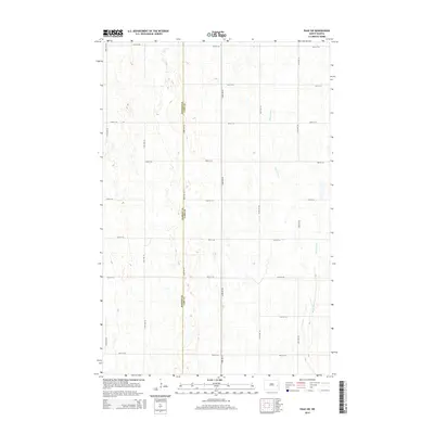
(28)- 1952 Map of Grand Forks, 1967 Print
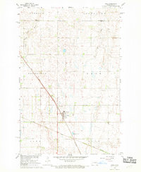
 1952 Grand Forks1967 Print · USGSThe Red River Valley in the early fifties is shown here at the height of its rail-and-river agricultural economy. Researchers can locate small-town landmarks like the Pleasant View School, the Immanuel Lutheran Church, and trace the path of the Soo Line Railroad.3 unique versions available
 - 1956 Map of Grand Forks
 1956 Grand Forks1956 Print · USGSThe Red River Valley in the mid-fifties is captured here as a thriving corridor of grain elevators and rail-linked towns along the North Dakota and Minnesota border. Researchers can trace historic church sites like Immanuel Lutheran Church, vanished rail stops at Tilde Junction, and the boundaries of the White Earth Indian Reservation.
 - 1966 Map of Grand Forks
 1966 Grand Forks1966 Print · USGSThe Red River Valley in the mid-sixties shows a landscape shaped by rail-line commerce and complex water management. Genealogists and historians can trace rail-side towns like Emerado and Hunter or locate rural landmarks like the Pleasant View Church.
 - 1967 Map of Page SE, 1969 Print
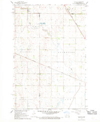
 1967 Page SE1969 Print · USGSCass County agriculture and infrastructure are captured here in the late sixties as the Missouri River Basin program progressed. Researchers can trace the Great Northern rail corridor and locate early industrial sites like the local Sandpit across the townships of Cornell and Rich.
 - 1967 Map of Page, 1969 Print
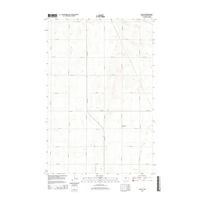
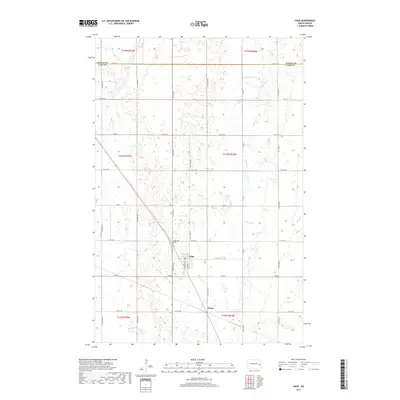
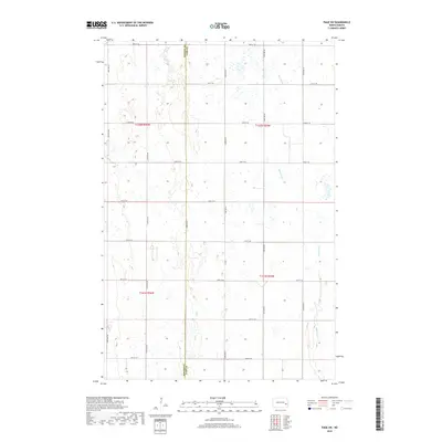
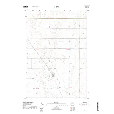
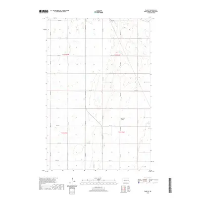
 1967 Page1969 Print · USGSThe Page area and the Great Northern rail corridor are captured here during the late sixties. Researchers can trace the rural infrastructure of Cass County, from the Page Cem to local landmarks like the Water Tank and Nolan siding.
 - 1967 Map of Page SW, 1969 Print
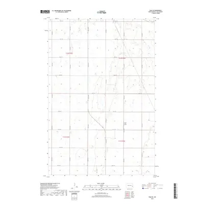
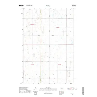
 1967 Page SW1969 Print · USGSThe rural border of Barnes and Cass Counties comes alive in the late sixties as the winding Maple River flows through a landscape of prairie potholes. Genealogists and local historians can locate the community Townhall and trace the original bounds of Minnie Lake and Weimer.
 - 1967 Map of Colgate, 1969 Print
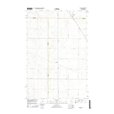
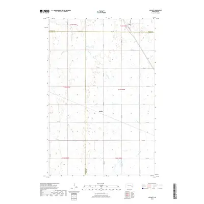
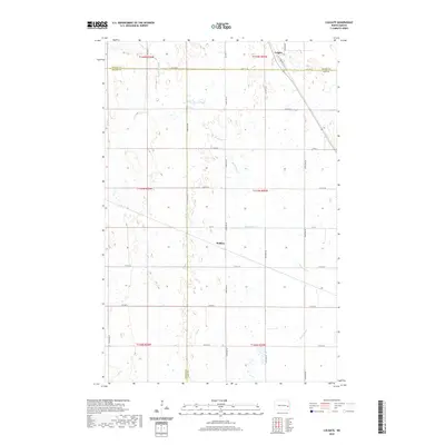
 1967 Colgate1969 Print · USGSEastern North Dakota in the late sixties reveals a landscape shaped by the Great Northern railroad and the winding Maple River. Genealogists and local historians can trace the small settlements of Colgate and Walden during a period of steady agricultural industry.
 - 1985 Map of Hillsboro
 1985 Hillsboro1985 Print · USGSEastern North Dakota’s expansive farming country is mapped here in the mid-1980s, showing the vital link between rail lines and prairie towns. Genealogists and historians can trace family locations near Mayville, Sherbrooke, and the Mayville Cem.2 unique versions available
 - 2011 Map of Colgate, 2011 Print
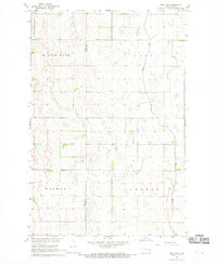
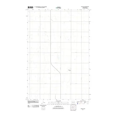
 2011 Colgate2011 Print · USGSCovers Lake Township, including Colgate Township, Carpenter Township, and other nearby areas
 - 2011 Map of Page SE, 2011 Print
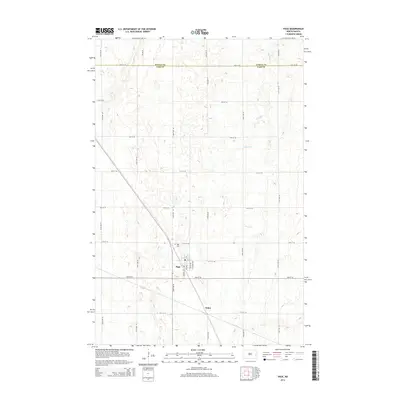
 2011 Page SE2011 Print · USGSCovers Lake Township, including Cornell Township, Ayr Township, and other nearby areas
 - 2011 Map of Page, 2011 Print
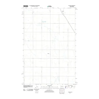
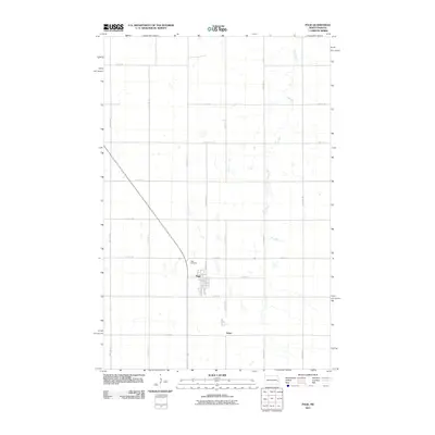 2011 Page2011 Print · USGSCovers Lake Township, including Page, Colgate Township, and other nearby areas
 - 2011 Map of Page SW, 2011 Print
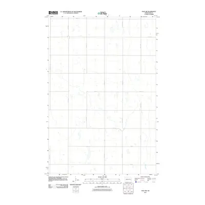 2011 Page SW2011 Print · USGSCovers Lake Township, including Minnie Lake Township, Cornell Township, and other nearby areas
 - 2014 Map of Page, 2014 Print
 2014 Page2014 Print · USGSCovers Lake Township, including Page, Colgate Township, and other nearby areas
 - 2014 Map of Page SW, 2014 Print
 2014 Page SW2014 Print · USGSCovers Lake Township, including Minnie Lake Township, Cornell Township, and other nearby areas
 - 2014 Map of Colgate, 2014 Print
 2014 Colgate2014 Print · USGSCovers Lake Township, including Colgate Township, Carpenter Township, and other nearby areas
 - 2014 Map of Page SE, 2014 Print
 2014 Page SE2014 Print · USGSCovers Lake Township, including Cornell Township, Ayr Township, and other nearby areas
 - 2017 Map of Page, 2017 Print
 2017 Page2017 Print · USGSCovers Lake Township, including Page, Colgate Township, and other nearby areas
 - 2018 Map of Colgate, 2018 Print
 2018 Colgate2018 Print · USGSCovers Lake Township, including Colgate Township, Carpenter Township, and other nearby areas
 - 2018 Map of Page SW, 2018 Print
 2018 Page SW2018 Print · USGSCovers Lake Township, including Minnie Lake Township, Cornell Township, and other nearby areas
 - 2018 Map of Page SE, 2018 Print
 2018 Page SE2018 Print · USGSCovers Lake Township, including Cornell Township, Ayr Township, and other nearby areas
 - 2020 Map of Colgate, 2020 Print
 2020 Colgate2020 Print · USGSCovers Lake Township, including Colgate Township, Carpenter Township, and other nearby areas
 - 2020 Map of Page, 2020 Print
 2020 Page2020 Print · USGSCovers Lake Township, including Page, Colgate Township, and other nearby areas
 - 2020 Map of Page SW, 2020 Print
 2020 Page SW2020 Print · USGSCovers Lake Township, including Minnie Lake Township, Cornell Township, and other nearby areas
 - 2020 Map of Page SE, 2020 Print
 2020 Page SE2020 Print · USGSCovers Lake Township, including Cornell Township, Ayr Township, and other nearby areas
 - 2024 Map of Page SE, 2024 Print
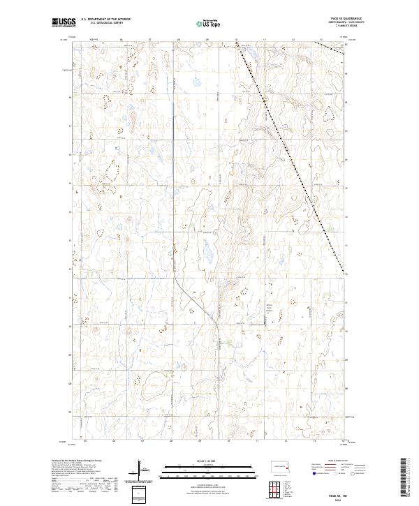 2024 Page SE2024 Print · USGSCass County agriculture and prairie wetlands are showcased in this modern survey of the North Dakota plains. Map collectors and researchers can trace the intersection of four townships and locate the private Wilcox Farm Airport amidst a grid of rural routes like 138 1/2 Ave SE.
Showing maps 1-25 of 28
Top cities near Lake Township
- Hope historical maps
- Tower City historical maps
- Page historical maps
- Buffalo historical maps
- Oriska historical maps
- Colgate Township historical maps
See more
Frequently asked questions
- What are the different types of historical maps available for Lake Township?
- What is the oldest map of Lake Township?
- Where can I purchase historical maps of Lake Township for my home or office?
- Where can I download high-res historical maps of Lake Township?
- Are there historical topographic maps available for Lake Township?
- Is there historical aerial imagery available for Lake Township?
- Where are historical maps of Lake Township sourced from?