Old Maps of Halliday, North Dakota for Hiking & Exploration
Hike through history with 10 historic maps of Halliday. Explore old trails, ghost towns, and forgotten backroads — perfect for outdoor adventurers and local explorers.
- Rediscover forgotten places: Map out old mining camps, roads, and footpaths that no longer exist on modern maps.
- Layer with modern tools: Combine with LiDAR or satellite views to plan hikes through historical terrain.
- Made for exploration: Popular among hikers, overlanders, and local history lovers.
Use these maps to find adventure and explore the hidden past of Halliday.
Halliday, ND maps
(10)- 1953 Map of Watford City, 1968 Print
 1953 Watford City1968 Print · USGSNorth Dakota's badlands and the Missouri River basin are captured here during the 1950s and 60s as the Garrison Dam changed the landscape. Researchers can trace old rail lines like the Great Northern or find rural outposts such as Grassy Butte and Halliday.3 unique versions available
 - 1957 Map of Watford City
 1957 Watford City1957 Print · USGSWestern North Dakota's landscape is captured here during the mid-fifties as the Missouri River valley undergoes massive change following the creation of Garrison Reservoir. Genealogists and historians can trace dozens of rural schools like Divide School and early settlements such as Arnegard and Grassy Butte.
 - 1967 Map of Watford City
 1967 Watford City1967 Print · USGSWestern North Dakota is captured during a period of landscape transformation as the Missouri River valley was reshaped by the new Garrison Reservoir. Genealogists and local historians can trace the foundations of Watford City, find the Elkhorn Ranch Site, or locate rural landmarks like Ziner Butte and Grassy Butte.
 - 1973 Map of Halliday, 1977 Print
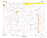
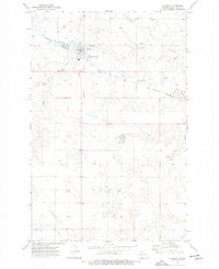 1973 Halliday1977 Print · USGSHalliday served as a vital rail and ranching hub in Dunn County during the 1970s. Researchers can trace local infrastructure from the Rodeo Ground and Cem to the commercial grain network evidenced by the Burlington Northern tracks.
 - 1974 Map of Killdeer, 1976 Print
 1974 Killdeer1976 Print · USGSWestern North Dakota's ranching and rail country comes into focus in the mid-seventies, showing the prairie landscape before modern energy booms. Trace the Burlington Northern line through Dodge, Werner, and Golden Valley, or locate family landmarks near Manning and New Hradec.
 - 2011 Map of Halliday, 2011 Print
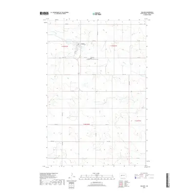
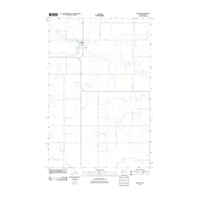 2011 Halliday2011 Print · USGSCovers Halliday, including Dunn County, United States, and other nearby areas
 - 2014 Map of Halliday, 2014 Print
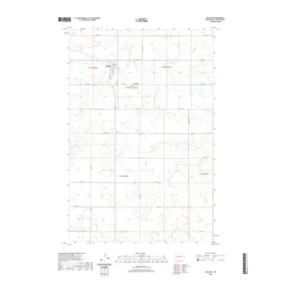
 2014 Halliday2014 Print · USGSCovers Halliday, including Dunn County, United States, and other nearby areas
 - 2018 Map of Halliday, 2018 Print
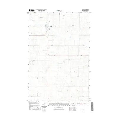
 2018 Halliday2018 Print · USGSCovers Halliday, including Dunn County, United States, and other nearby areas
 - 2020 Map of Halliday, 2020 Print
 2020 Halliday2020 Print · USGSCovers Halliday, including Dunn County, United States, and other nearby areas
 - 2024 Map of Halliday, 2024 Print
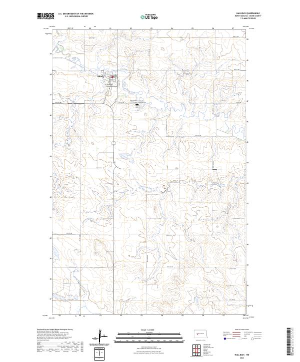 2024 Halliday2024 Print · USGSHalliday and the surrounding Dunn County prairie are shown here in recent years, documenting the enduring rural structure of this North Dakota landscape. Genealogists can trace local history at Our Saviour's Lutheran Cem or follow the paths of Spring Creek and Cottonwood Creek.
End of results
Showing maps 1-10 of 10
Top cities near Halliday
Frequently asked questions
- What are the different types of historical maps available for Halliday?
- What is the oldest map of Halliday?
- Where can I purchase historical maps of Halliday for my home or office?
- Where can I download high-res historical maps of Halliday?
- Are there historical topographic maps available for Halliday?
- Is there historical aerial imagery available for Halliday?
- Where are historical maps of Halliday sourced from?