2000s (21st Century) Maps of Eddy County, North Dakota
Explore 105 historic maps of Eddy County from the 2000s (21st Century). These maps offer a rare glimpse into what life looked like during the 2000s — showing old roads, neighborhoods, homes, and landmarks that have changed or disappeared over time.
Whether you're researching your family's past, planning a metal detecting trip, or studying how Eddy County's landscape evolved across the 2000s, these high-resolution maps are a powerful tool for exploring the history of this region.
- Focus on a specific era: All maps on this page are from the 2000s, giving you a focused view of this time period.
- See what’s changed: Compare century-old streets, trails, and buildings to today's modern landscape using overlays and satellite layers.
- Research with precision: Use these maps for genealogy, historical research, land use analysis, or educational projects.
- View, download, or print: Maps are fully viewable online in high resolution, and can be downloaded or printed for your own records.
Start exploring Eddy County's history through authentic maps from the 2000s. This is your window into the past.
Eddy County, ND maps
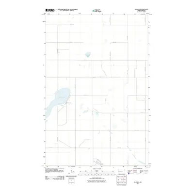
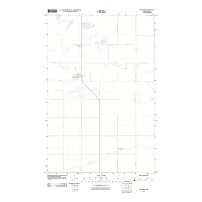
(105)- 2011 Map of Oberon SW, 2011 Print
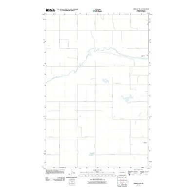 2011 Oberon SW2011 Print · USGSCovers Eddy County, including Crow Hill District, Benson County, and other nearby areas
 - 2011 Map of New Rockford, 2011 Print
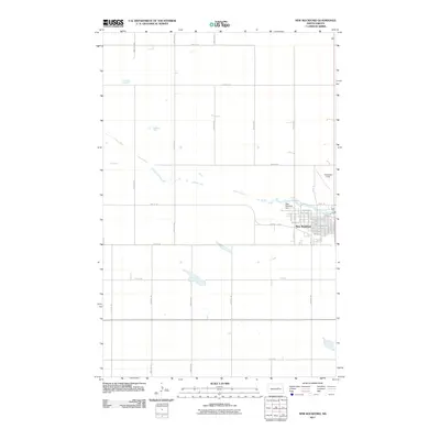 2011 New Rockford2011 Print · USGSCovers Eddy County, including New Rockford, United States, and other nearby areas
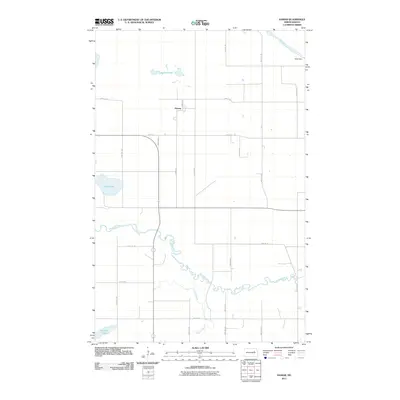
 - 2011 Map of Munster, 2011 Print
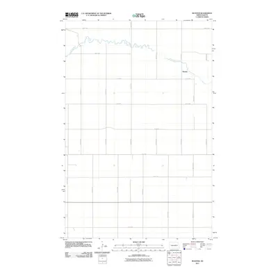 2011 Munster2011 Print · USGSCovers Eddy County, including Munster, Wells County, and other nearby areas
 - 2011 Map of Sheyenne, 2011 Print
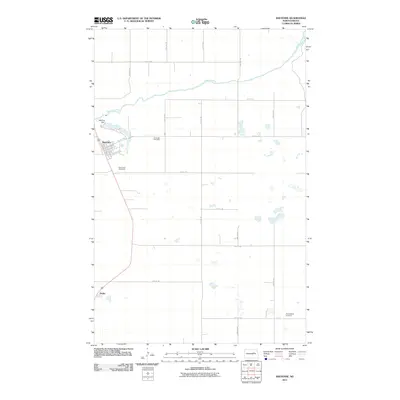 2011 Sheyenne2011 Print · USGSCovers Eddy County, including Sheyenne, Crow Hill District, and other nearby areas
 - 2011 Map of New Rockford SE, 2011 Print
 2011 New Rockford SE2011 Print · USGSCovers Eddy County, including Foster County, United States, and other nearby areas
 - 2011 Map of Barlow, 2011 Print
 2011 Barlow2011 Print · USGSCovers Eddy County, including Barlow, Guptill, and other nearby areas
 - 2011 Map of Flora SE, 2011 Print
 2011 Flora SE2011 Print · USGSCovers Eddy County, including Benson County, Wells County, and other nearby areas
 - 2011 Map of Cathay SE, 2011 Print
 2011 Cathay SE2011 Print · USGSCovers Eddy County, including Lemert, Foster County, and other nearby areas
 - 2011 Map of Juanita, 2011 Print
 2011 Juanita2011 Print · USGSCovers Eddy County, including Juanita, Foster County, and other nearby areas
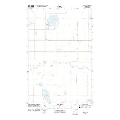
 - 2011 Map of Hamar, 2011 Print
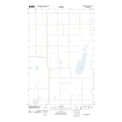
 2011 Hamar2011 Print · USGSCovers Eddy County, including Wood Lake District, Hamar, and other nearby areas
 - 2011 Map of Lake Coe, 2011 Print
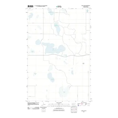 2011 Lake Coe2011 Print · USGSCovers Eddy County, including United States, North Dakota, and other nearby areas
 - 2011 Map of Brantford, 2011 Print
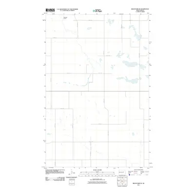
 2011 Brantford2011 Print · USGSCovers Eddy County, including Brantford, Foster County, and other nearby areas
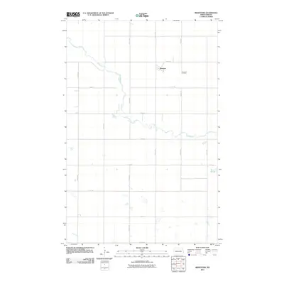
 - 2011 Map of McHenry, 2011 Print
 2011 McHenry2011 Print · USGSCovers Eddy County, including McHenry, Foster County, and other nearby areas
 - 2011 Map of Johnson Lake, 2011 Print
 2011 Johnson Lake2011 Print · USGSCovers Eddy County, including Nelson County, Griggs County, and other nearby areas
 - 2011 Map of Warwick, 2011 Print
 2011 Warwick2011 Print · USGSCovers Eddy County, including Warwick, Wood Lake District, and other nearby areas
 - 2011 Map of Grace City, 2011 Print
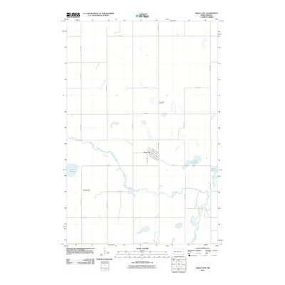 2011 Grace City2011 Print · USGSCovers Eddy County, including Grace City, Foster County, and other nearby areas
 - 2011 Map of Horseshoe Lake, 2011 Print
 2011 Horseshoe Lake2011 Print · USGSCovers Eddy County, including Wood Lake District, Benson County, and other nearby areas
 - 2011 Map of Tokio SW, 2011 Print
 2011 Tokio SW2011 Print · USGSCovers Eddy County, including Wood Lake District, Fort Totten District, and other nearby areas
 - 2011 Map of New Rockford NE, 2011 Print
 2011 New Rockford NE2011 Print · USGSCovers Eddy County, including New Rockford, Dundas, and other nearby areas
 - 2011 Map of Brantford NW, 2011 Print
 2011 Brantford NW2011 Print · USGSCovers Eddy County, including United States, North Dakota, and other nearby areas
 - 2011 Map of Brantford NE, 2011 Print
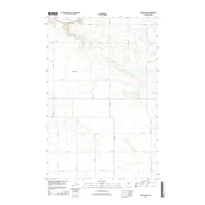
 2011 Brantford NE2011 Print · USGSCovers Eddy County, including Wood Lake District, United States, and other nearby areas
 - 2014 Map of Brantford, 2014 Print
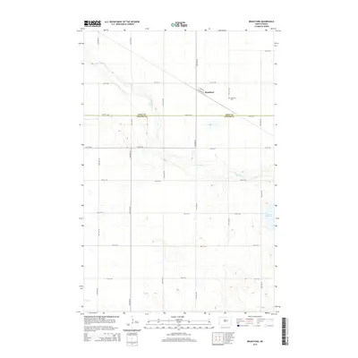 2014 Brantford2014 Print · USGSCovers Eddy County, including Brantford, Foster County, and other nearby areas
 - 2014 Map of Brantford NE, 2014 Print
 2014 Brantford NE2014 Print · USGSCovers Eddy County, including Wood Lake District, United States, and other nearby areas
 - 2014 Map of Tokio SW, 2014 Print
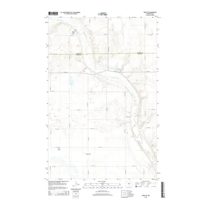 2014 Tokio SW2014 Print · USGSCovers Eddy County, including Wood Lake District, Fort Totten District, and other nearby areas
 - 2014 Map of Juanita, 2014 Print
 2014 Juanita2014 Print · USGSCovers Eddy County, including Juanita, Foster County, and other nearby areas
Showing maps 1-25 of 105
Top cities of Eddy County
Frequently asked questions
- What are the different types of historical maps available for Eddy County?
- What is the oldest map of Eddy County?
- Where can I purchase historical maps of Eddy County for my home or office?
- Where can I download high-res historical maps of Eddy County?
- Are there historical topographic maps available for Eddy County?
- Is there historical aerial imagery available for Eddy County?
- Where are historical maps of Eddy County sourced from?