Old Maps of Sheyenne, North Dakota for Academic Research
Study the evolution of Sheyenne with 12 high-resolution historic maps. Whether you're teaching, researching, or modeling changes in land use, these maps provide essential visual documentation of urban, environmental, and geographic change.
- Analyze long-term change: Track patterns in development, transportation, and natural features.
- Ideal for environmental or urban studies: Support academic projects with primary historical map data.
- Use in the classroom or lab: Educators and researchers rely on these maps to bring historical context to life.
These maps are a powerful tool for teaching, research, and visualizing how Sheyenne has changed over the decades.
Sheyenne, ND maps
(12)- 1931 Map of Oberon
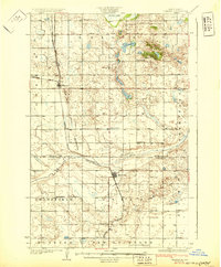 1931 Oberon1931 Print · USGSThe North Dakota prairie unfolds in the late twenties as a network of rail-side towns and rural townships north of the Sheyenne River. Genealogists and historians can trace the exact locations of Grandfield Ch, St Gertrudes Ch, and several numbered country schools.2 unique versions available
 - 1950 Map of Sheyenne
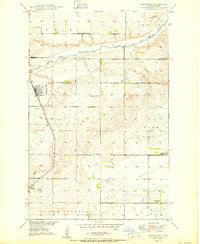 1950 Sheyenne1950 Print · USGSMid-century Eddy County comes into focus as a network of rural schools and rail-side settlements in the years following the war. Genealogists and historians can trace the foundations of Sheyenne and Divide, along with local landmarks like Holy Cross Cem and Rose Hill Sch.3 unique versions available
 - 1950 Map of Oberon, 1960 Print
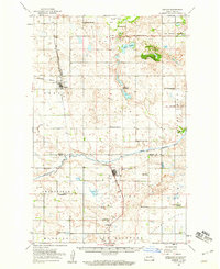 1950 Oberon1960 Print · USGSBenson and Eddy Counties are captured here at mid-century, defined by a landscape of prairie schoolhouses and the winding Sheyenne River. Genealogists can trace the locations of family landmarks like Holy Cross Cem, St Jerome Ch, and the town of Oberon along the Northern Pacific rail line.
 - 1952 Map of New Rockford, 1968 Print
 1952 New Rockford1968 Print · USGSThe North Dakota prairie during the mid-1950s was a landscape of rail-dependent farm towns and vast wildlife refuges. Genealogists and historians can trace the foundations of local communities at Fort Totten Indian Agenc, Concordia Lutheran Church, and the Bowdon Country Church and Cemetery.3 unique versions available
 - 1956 Map of New Rockford
 1956 New Rockford1956 Print · USGSMid-century central North Dakota is captured here as a landscape of prairie rail towns and vast wildlife refuges. Trace family roots at the Bowdon Country Church and Cemetery or locate the old St Michael Mission School and Fort Totten.
 - 1971 Map of New Rockford, 1974 Print
 1971 New Rockford1974 Print · USGSCentral North Dakota was a landscape of wildlife refuges and rail-linked agricultural towns in the early seventies. Genealogists and local historians can trace the development of the Fort Totten Indian Reservation and locate old railway points like Maddock, Hamal, and Kloten.
 - 1981 Map of New Rockford
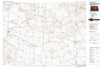 1981 New Rockford1981 Print · USGSCentral North Dakota's prairie heartland is captured here in the early eighties, showing a landscape defined by the Burlington Northern rail lines and sprawling waterfowl refuges. Genealogists and local historians can trace the foundations of New Rockford, Maddock, and Fessenden, alongside landmarks like Tomlinson Field and the Fort Totten Indian Reservation.
 - 2011 Map of Sheyenne, 2011 Print
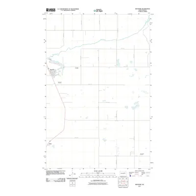 2011 Sheyenne2011 Print · USGSCovers Sheyenne, including Crow Hill District, Divide, and other nearby areas
 - 2014 Map of Sheyenne, 2014 Print
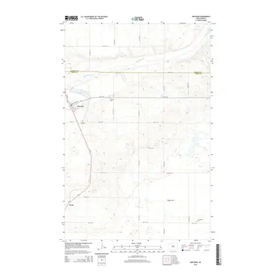 2014 Sheyenne2014 Print · USGSCovers Sheyenne, including Crow Hill District, Divide, and other nearby areas
 - 2018 Map of Sheyenne, 2018 Print
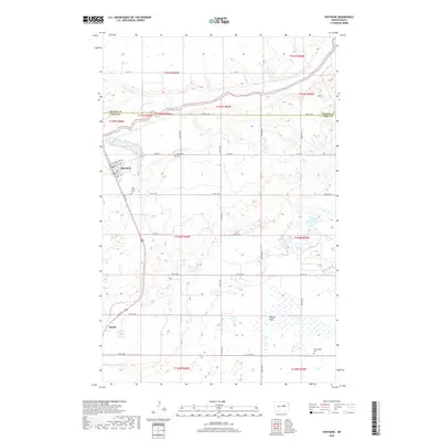 2018 Sheyenne2018 Print · USGSCovers Sheyenne, including Crow Hill District, Divide, and other nearby areas
 - 2020 Map of Sheyenne, 2020 Print
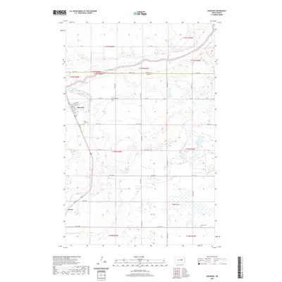 2020 Sheyenne2020 Print · USGSCovers Sheyenne, including Crow Hill District, Divide, and other nearby areas
 - 2024 Map of Sheyenne, 2024 Print
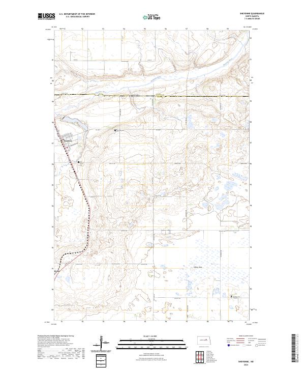 2024 Sheyenne2024 Print · USGSModern-day Sheyenne and the surrounding prairie wetlands come into focus in this recent survey of EDDY CO. Genealogists can locate family sites at Riverside Cem or Nystrom Cem, while outdoorsmen can trace the boundaries of the Eddy County Waterfowl Production Area.
End of results
Showing maps 1-12 of 12
Top cities near Sheyenne
Frequently asked questions
- What are the different types of historical maps available for Sheyenne?
- What is the oldest map of Sheyenne?
- Where can I purchase historical maps of Sheyenne for my home or office?
- Where can I download high-res historical maps of Sheyenne?
- Are there historical topographic maps available for Sheyenne?
- Is there historical aerial imagery available for Sheyenne?
- Where are historical maps of Sheyenne sourced from?