Old Maps of Campbell Township, North Dakota for Academic Research
Study the evolution of Campbell Township with 29 high-resolution historic maps. Whether you're teaching, researching, or modeling changes in land use, these maps provide essential visual documentation of urban, environmental, and geographic change.
- Analyze long-term change: Track patterns in development, transportation, and natural features.
- Ideal for environmental or urban studies: Support academic projects with primary historical map data.
- Use in the classroom or lab: Educators and researchers rely on these maps to bring historical context to life.
These maps are a powerful tool for teaching, research, and visualizing how Campbell Township has changed over the decades.
Campbell Township, ND maps
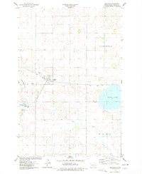
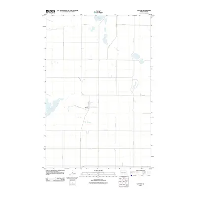
(29)- 1953 Map of Jamestown
 1953 Jamestown1953 Print · USGSSoutheastern North Dakota was a thriving rail and agricultural corridor in the early fifties, anchored by the James River. Researchers can trace the footprints of institutional landmarks like the North Dakota State Hospital and historic sites such as Whitestone Hill Battlefield Park.3 unique versions available
 - 1954 Map of Bismarck, 1967 Print
 1954 Bismarck1967 Print · USGSBismarck and the Missouri River basin are shown in the mid-1960s as the Oahe Reservoir reshaped the valley. Genealogists can trace family-named landmarks like Dog Tooth Buttes and small prairie settlements such as Fort Yates, Selfridge, and Brisbane.2 unique versions available
 - 1956 Map of Jamestown
 1956 Jamestown1956 Print · USGSThe James River valley and the vast alkali lake country of south-central North Dakota are captured here in the mid-fifties. Genealogists can trace family farms across several counties, locating small rail stops like Medberry and monuments like Whitestone Hill Battlefield Park.
 - 1958 Map of Bismarck
 1958 Bismarck1958 Print · USGSCentral North Dakota in the late fifties is defined by the Missouri River and the sprawling Standing Rock Indian Reservation. Genealogists and historians can trace rail-line outposts like Sedalia Siding or explore local landmarks like Saint Anthony and Fort Lincoln State Park/Museum.
 - 1975 Map of Braddock, 1978 Print
 1975 Braddock1978 Print · USGSBraddock and the surrounding Emmons County plains are captured here in the mid-seventies as the rail-and-creek economy shaped the local township. Genealogists can locate Braddock Cem and Maria Cem, or trace the Soo Line past Goose Lake.
 - 1975 Map of Braddock NE, 1978 Print
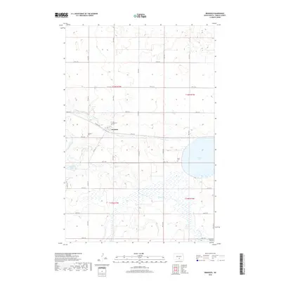
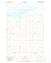 1975 Braddock NE1978 Print · USGSKidder and Burleigh counties are shown in the mid-1970s, a period defined by vast wildlife conservation and prairie agriculture. Researchers can trace land boundaries in Wild Rose and Baker or locate natural landmarks like Crown Hill and Mud Lake.
 - 1975 Map of Kintyre, 1978 Print
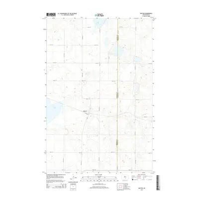
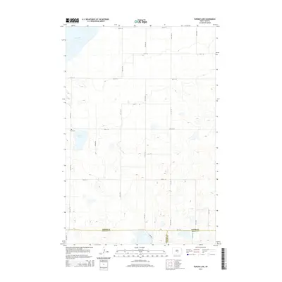
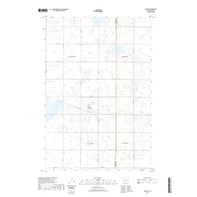
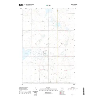
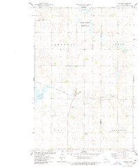 1975 Kintyre1978 Print · USGSThe rural prairie landscape surrounding Kintyre is captured here during the mid-seventies, showing the vital role of the railroad and land management. Researchers can trace the Soo Line tracks through town or locate the National Waterfowl Production Area and Stink Lake.
 - 1979 Map of Bismarck, 1980 Print
 1979 Bismarck1980 Print · USGSBismarck and Mandan sit at the heart of this late-century North Dakota survey, where the Missouri River flows past historic frontier outposts. Trace the old Soo Line rail corridors or locate family landmarks near St Anthony, Fort Rice, and Custer Flats.
 - 1985 Map of Steele, 1994 Print
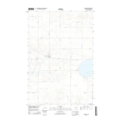
 1985 Steele1994 Print · USGSCentral North Dakota’s prairie pothole region is showcased here in the mid-1980s, revealing a landscape of vital wetlands and rail-dependent towns. Researchers can trace family ties and land use near Steele, Napoleon, and the many waterfowl production areas like Slade National Wildlife Refuge.
 - 2011 Map of Braddock, 2011 Print
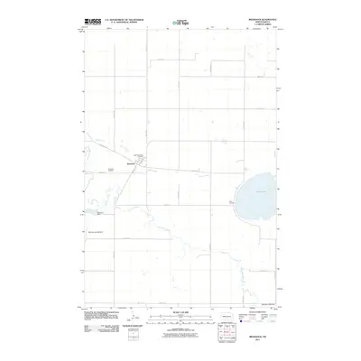 2011 Braddock2011 Print · USGSCovers Campbell Township, including Braddock, Tell Township, and other nearby areas
 - 2011 Map of Kintyre, 2011 Print
 2011 Kintyre2011 Print · USGSCovers Campbell Township, including Tell Township, Sealy Township, and other nearby areas
 - 2011 Map of Pursian Lake, 2011 Print
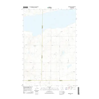
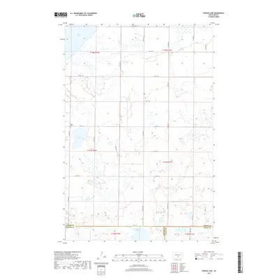
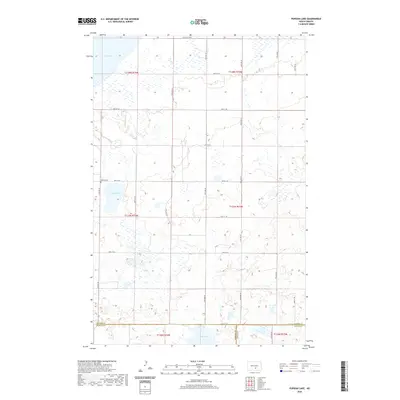
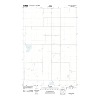 2011 Pursian Lake2011 Print · USGSCovers Campbell Township, including Sealy Township, Kidder County, and other nearby areas
 - 2011 Map of Braddock NE, 2011 Print
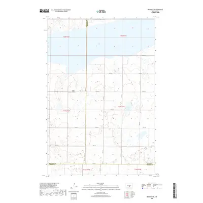
 2011 Braddock NE2011 Print · USGSCovers Campbell Township, including Burleigh County, Kidder County, and other nearby areas
 - 2014 Map of Kintyre, 2014 Print
 2014 Kintyre2014 Print · USGSCovers Campbell Township, including Tell Township, Sealy Township, and other nearby areas
 - 2014 Map of Pursian Lake, 2014 Print
 2014 Pursian Lake2014 Print · USGSCovers Campbell Township, including Sealy Township, Kidder County, and other nearby areas
 - 2014 Map of Braddock, 2014 Print
 2014 Braddock2014 Print · USGSCovers Campbell Township, including Braddock, Tell Township, and other nearby areas
 - 2014 Map of Braddock NE, 2014 Print
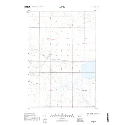
 2014 Braddock NE2014 Print · USGSCovers Campbell Township, including Burleigh County, Kidder County, and other nearby areas
 - 2017 Map of Kintyre, 2017 Print
 2017 Kintyre2017 Print · USGSCovers Campbell Township, including Tell Township, Sealy Township, and other nearby areas
 - 2018 Map of Pursian Lake, 2018 Print
 2018 Pursian Lake2018 Print · USGSCovers Campbell Township, including Sealy Township, Kidder County, and other nearby areas
 - 2018 Map of Braddock, 2018 Print
 2018 Braddock2018 Print · USGSCovers Campbell Township, including Braddock, Tell Township, and other nearby areas
 - 2018 Map of Braddock NE, 2018 Print
 2018 Braddock NE2018 Print · USGSCovers Campbell Township, including Burleigh County, Kidder County, and other nearby areas
 - 2020 Map of Braddock, 2020 Print
 2020 Braddock2020 Print · USGSCovers Campbell Township, including Braddock, Tell Township, and other nearby areas
 - 2020 Map of Kintyre, 2020 Print
 2020 Kintyre2020 Print · USGSCovers Campbell Township, including Tell Township, Sealy Township, and other nearby areas
 - 2020 Map of Pursian Lake, 2020 Print
 2020 Pursian Lake2020 Print · USGSCovers Campbell Township, including Sealy Township, Kidder County, and other nearby areas
 - 2020 Map of Braddock NE, 2020 Print
 2020 Braddock NE2020 Print · USGSCovers Campbell Township, including Burleigh County, Kidder County, and other nearby areas
Showing maps 1-25 of 29
Top cities near Campbell Township
Top neighborhoods of Campbell Township
Frequently asked questions
- What are the different types of historical maps available for Campbell Township?
- What is the oldest map of Campbell Township?
- Where can I purchase historical maps of Campbell Township for my home or office?
- Where can I download high-res historical maps of Campbell Township?
- Are there historical topographic maps available for Campbell Township?
- Is there historical aerial imagery available for Campbell Township?
- Where are historical maps of Campbell Township sourced from?