Old Maps of Lincoln Township, North Dakota for Hiking & Exploration
Hike through history with 28 historic maps of Lincoln Township. Explore old trails, ghost towns, and forgotten backroads — perfect for outdoor adventurers and local explorers.
- Rediscover forgotten places: Map out old mining camps, roads, and footpaths that no longer exist on modern maps.
- Layer with modern tools: Combine with LiDAR or satellite views to plan hikes through historical terrain.
- Made for exploration: Popular among hikers, overlanders, and local history lovers.
Use these maps to find adventure and explore the hidden past of Lincoln Township.
Lincoln Township, ND maps
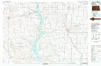
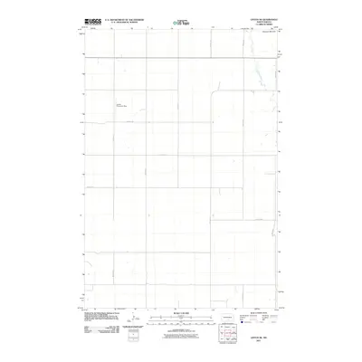
(28)- 1954 Map of Bismarck, 1967 Print
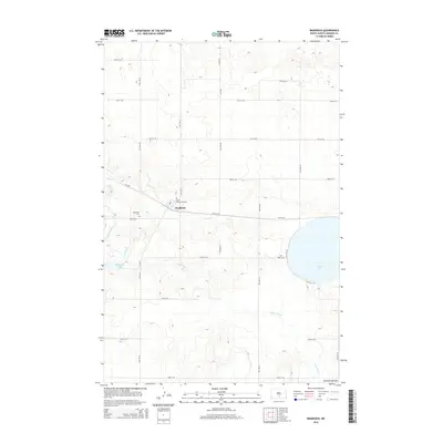
 1954 Bismarck1967 Print · USGSBismarck and the Missouri River basin are shown in the mid-1960s as the Oahe Reservoir reshaped the valley. Genealogists can trace family-named landmarks like Dog Tooth Buttes and small prairie settlements such as Fort Yates, Selfridge, and Brisbane.2 unique versions available
 - 1958 Map of Bismarck
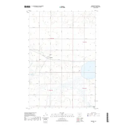
 1958 Bismarck1958 Print · USGSCentral North Dakota in the late fifties is defined by the Missouri River and the sprawling Standing Rock Indian Reservation. Genealogists and historians can trace rail-line outposts like Sedalia Siding or explore local landmarks like Saint Anthony and Fort Lincoln State Park/Museum.
 - 1975 Map of Dana, 1978 Print
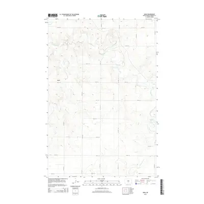
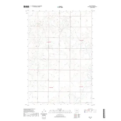
 1975 Dana1978 Print · USGSEmmons County in the mid-1970s was a critical junction for the northern plains rail network. Researchers can trace the dual paths of the Burlington Northern and Soo Line railroads or locate local landmarks like the McLeish Landing Strip and Braddock Dam.
 - 1975 Map of Appert Lake, 1978 Print
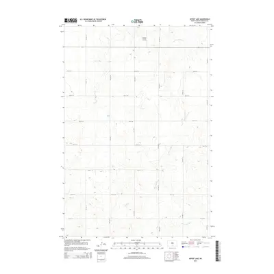
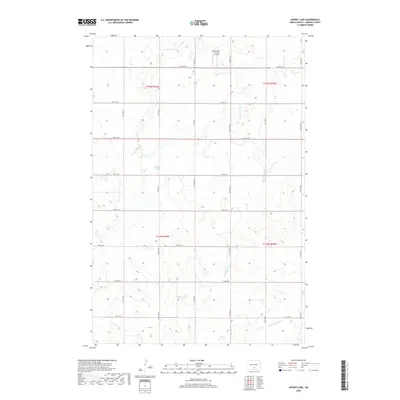
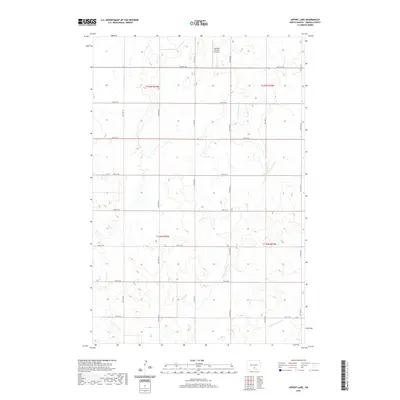
 1975 Appert Lake1978 Print · USGSThe Emmons County prairie during the mid-seventies is documented here through its agricultural grid and wildlife conservation lands. Researchers can trace land divisions in Hazelton and Danbury or locate the boundaries of the Appert Lake National Wildlife Refuge.
 - 1975 Map of Linton NE, 1978 Print
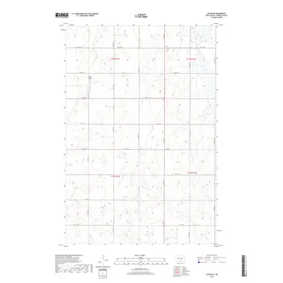
 1975 Linton NE1978 Print · USGSThe rural prairie of Emmons County was surveyed in the mid-1970s, showing the agricultural character of Tell and Wood townships. Genealogists and researchers can locate the small settlement of Brad and a specific early Grave site north of the Long Lake Creek.
 - 1975 Map of Braddock, 1978 Print
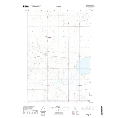
 1975 Braddock1978 Print · USGSBraddock and the surrounding Emmons County plains are captured here in the mid-seventies as the rail-and-creek economy shaped the local township. Genealogists can locate Braddock Cem and Maria Cem, or trace the Soo Line past Goose Lake.
 - 1979 Map of Bismarck, 1980 Print
 1979 Bismarck1980 Print · USGSBismarck and Mandan sit at the heart of this late-century North Dakota survey, where the Missouri River flows past historic frontier outposts. Trace the old Soo Line rail corridors or locate family landmarks near St Anthony, Fort Rice, and Custer Flats.
 - 1980 Map of Linton
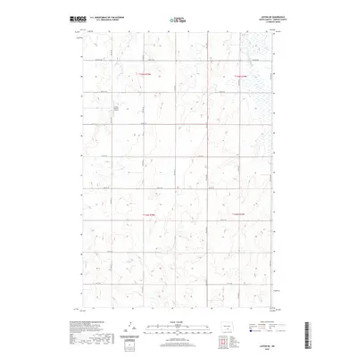
 1980 Linton1980 Print · USGSThe Missouri River corridor in the early eighties serves as a backdrop for the sprawling Standing Rock Indian Reservation and Missouri plateau farm towns. Researchers can trace historic railroad routes like the Burlington Northern and find local landmarks such as Fort Yates, Solen, and Winona Flats.
 - 2011 Map of Appert Lake, 2011 Print
 2011 Appert Lake2011 Print · USGSCovers Lincoln Township, including Hazelton Township, Emmons County, and other nearby areas
 - 2011 Map of Braddock, 2011 Print
 2011 Braddock2011 Print · USGSCovers Lincoln Township, including Braddock, Tell Township, and other nearby areas
 - 2011 Map of Dana, 2011 Print
 2011 Dana2011 Print · USGSCovers Lincoln Township, including Hazelton Township, Emmons County, and other nearby areas
 - 2011 Map of Linton NE, 2011 Print
 2011 Linton NE2011 Print · USGSCovers Lincoln Township, including Tell Township, Emmons County, and other nearby areas
 - 2014 Map of Appert Lake, 2014 Print
 2014 Appert Lake2014 Print · USGSCovers Lincoln Township, including Hazelton Township, Emmons County, and other nearby areas
 - 2014 Map of Linton NE, 2014 Print
 2014 Linton NE2014 Print · USGSCovers Lincoln Township, including Tell Township, Emmons County, and other nearby areas
 - 2014 Map of Dana, 2014 Print
 2014 Dana2014 Print · USGSCovers Lincoln Township, including Hazelton Township, Emmons County, and other nearby areas
 - 2014 Map of Braddock, 2014 Print
 2014 Braddock2014 Print · USGSCovers Lincoln Township, including Braddock, Tell Township, and other nearby areas
 - 2018 Map of Appert Lake, 2018 Print
 2018 Appert Lake2018 Print · USGSCovers Lincoln Township, including Hazelton Township, Emmons County, and other nearby areas
 - 2018 Map of Braddock, 2018 Print
 2018 Braddock2018 Print · USGSCovers Lincoln Township, including Braddock, Tell Township, and other nearby areas
 - 2018 Map of Linton NE, 2018 Print
 2018 Linton NE2018 Print · USGSCovers Lincoln Township, including Tell Township, Emmons County, and other nearby areas
 - 2018 Map of Dana, 2018 Print
 2018 Dana2018 Print · USGSCovers Lincoln Township, including Hazelton Township, Emmons County, and other nearby areas
 - 2020 Map of Braddock, 2020 Print
 2020 Braddock2020 Print · USGSCovers Lincoln Township, including Braddock, Tell Township, and other nearby areas
 - 2020 Map of Linton NE, 2020 Print
 2020 Linton NE2020 Print · USGSCovers Lincoln Township, including Tell Township, Emmons County, and other nearby areas
 - 2020 Map of Dana, 2020 Print
 2020 Dana2020 Print · USGSCovers Lincoln Township, including Hazelton Township, Emmons County, and other nearby areas
 - 2020 Map of Appert Lake, 2020 Print
 2020 Appert Lake2020 Print · USGSCovers Lincoln Township, including Hazelton Township, Emmons County, and other nearby areas
 - 2024 Map of Dana, 2024 Print
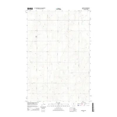
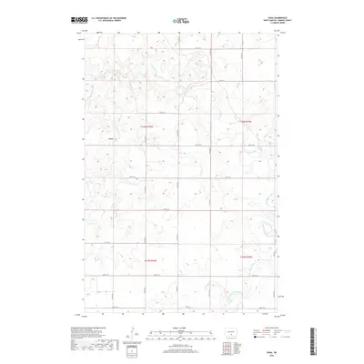
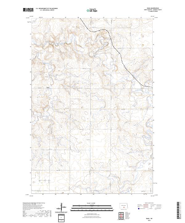 2024 Dana2024 Print · USGSThe rural landscape of Emmons County is documented in this recent survey of the prairie near Dana. Genealogists and land researchers can trace the section lines and drainage of Long Lake Creek, Hawk Creek, and Goose Creek.
Showing maps 1-25 of 28
Top cities near Lincoln Township
Frequently asked questions
- What are the different types of historical maps available for Lincoln Township?
- What is the oldest map of Lincoln Township?
- Where can I purchase historical maps of Lincoln Township for my home or office?
- Where can I download high-res historical maps of Lincoln Township?
- Are there historical topographic maps available for Lincoln Township?
- Is there historical aerial imagery available for Lincoln Township?
- Where are historical maps of Lincoln Township sourced from?