Old Maps of Grace City, North Dakota
Explore 13 old maps of Grace City, spanning from 1944 to today. These high-resolution historic maps reveal how streets, neighborhoods, landmarks, and natural features evolved over time — perfect for genealogy, metal detecting, research, and local history exploration.
What you can do with these maps:
- See how Grace City changed over time: Compare historical maps to modern-day views to trace roads, homesites, rail lines & more.
- View detailed metadata: Each map includes creators, publishers, year, scale, and archive source.
- Overlay maps with satellite & LiDAR: Visualize the past alongside modern tools to explore terrain & human change.
- Trusted historical sources: Maps sourced from the USGS, Library of Congress, and other archives.
- Access maps your way: View online, download high-res files, or order prints for personal or research use.
Start exploring old maps of Grace City to uncover forgotten places, hidden landmarks, and the deep history beneath your feet.
Grace City, ND maps
(13)- 1944 Map of Brantford, 1963 Print
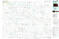
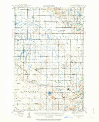 1944 Brantford1963 Print · USGSEddy and Foster Counties appear here during the mid-1940s, showing a prairie landscape shaped by the Great Northern railroad and the James River. Researchers can locate numerous rural schoolhouses and church sites like Kvernes Ch and Columbia Sch.
 - 1946 Map of Brantford
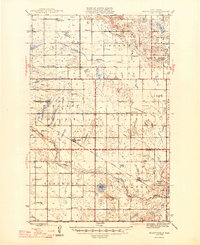 1946 Brantford1946 Print · USGSCentral North Dakota’s prairie landscape is captured here in the mid-1940s, showing a rural economy tied to the Great Northern rail line. Genealogists can trace family footprints through numerous township schools and landmarks like Kvernes Ch or the Grace City Cem.2 unique versions available
 - 1949 Map of Grace City, 1977 Print
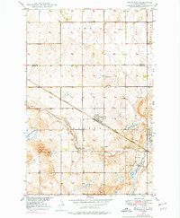 1949 Grace City1977 Print · USGSGrace City and the surrounding prairie of Foster County are shown here in the late 1940s at the intersection of rail and river. Researchers can locate family landmarks like the Grace City Cem, Lutheran Cem, and the path of the Great Northern railroad.
 - 1950 Map of Grace City
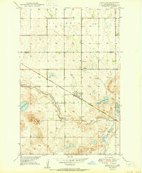 1950 Grace City1950 Print · USGSGrace City sits at a vital rail and river crossing in Foster County during the mid-century. Researchers can trace the Great Northern tracks past Grace City Cem or locate family plots at the Lutheran Cem near the James River.
 - 1952 Map of New Rockford, 1968 Print
 1952 New Rockford1968 Print · USGSThe North Dakota prairie during the mid-1950s was a landscape of rail-dependent farm towns and vast wildlife refuges. Genealogists and historians can trace the foundations of local communities at Fort Totten Indian Agenc, Concordia Lutheran Church, and the Bowdon Country Church and Cemetery.3 unique versions available
 - 1956 Map of New Rockford
 1956 New Rockford1956 Print · USGSMid-century central North Dakota is captured here as a landscape of prairie rail towns and vast wildlife refuges. Trace family roots at the Bowdon Country Church and Cemetery or locate the old St Michael Mission School and Fort Totten.
 - 1971 Map of New Rockford, 1974 Print
 1971 New Rockford1974 Print · USGSCentral North Dakota was a landscape of wildlife refuges and rail-linked agricultural towns in the early seventies. Genealogists and local historians can trace the development of the Fort Totten Indian Reservation and locate old railway points like Maddock, Hamal, and Kloten.
 - 1985 Map of Stump Lake
 1985 Stump Lake1985 Print · USGSNorth Dakota's lake country in the mid-eighties shows a landscape shaped by the Burlington Northern rail line and tribal lands. Genealogists and historians can locate family sites near Warwick, Tokio, and the Fort Totten Indian Reservation.2 unique versions available
 - 2011 Map of Grace City, 2011 Print
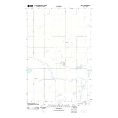 2011 Grace City2011 Print · USGSCovers Grace City, including Foster County, Eddy County, and other nearby areas
 - 2014 Map of Grace City, 2014 Print
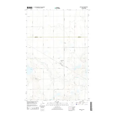 2014 Grace City2014 Print · USGSCovers Grace City, including Foster County, Eddy County, and other nearby areas
 - 2018 Map of Grace City, 2018 Print
 2018 Grace City2018 Print · USGSCovers Grace City, including Foster County, Eddy County, and other nearby areas
 - 2020 Map of Grace City, 2020 Print
 2020 Grace City2020 Print · USGSCovers Grace City, including Foster County, Eddy County, and other nearby areas
 - 2024 Map of Grace City, 2024 Print
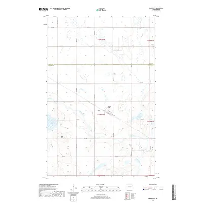
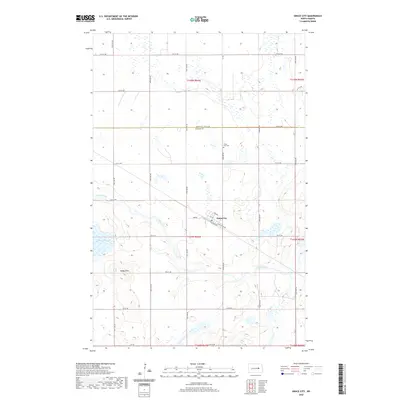
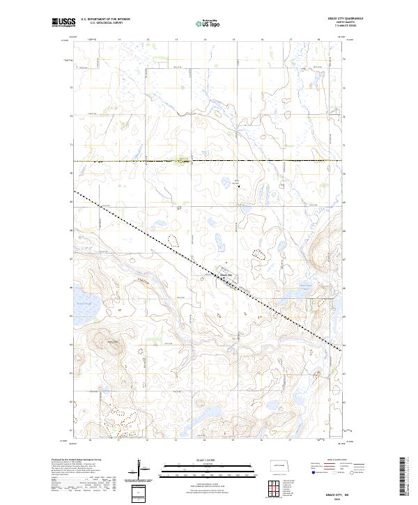 2024 Grace City2024 Print · USGSThe Foster County prairie is documented here as it appeared in the early 2020s, centered on the riverside town of Grace City. Researchers can trace local history at the Grace City Cem or explore the wetland geography of Blue-Cloud Lake and Melby Hills.
End of results
Showing maps 1-13 of 13
Top cities near Grace City
Frequently asked questions
- What are the different types of historical maps available for Grace City?
- What is the oldest map of Grace City?
- Where can I purchase historical maps of Grace City for my home or office?
- Where can I download high-res historical maps of Grace City?
- Are there historical topographic maps available for Grace City?
- Is there historical aerial imagery available for Grace City?
- Where are historical maps of Grace City sourced from?