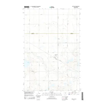
2014 Map of Grace City
USGS Topo · Published 2014About this map
Grace City sits at the heart of this Foster County landscape, defined by the winding course of the James River and a cluster of prairie lakes. The settlement's grid is oriented toward the railroad corridor, with N Railroad Ave and S Railroad Ave flanking the tracks. This layout reflects the early twentieth-century reliance on rail for the transport of agricultural goods from the surrounding plains. To the north, the Grace City Cemetery serves as a quiet local landmark along 82nd Ave NE, while the local Post Office remains a central point of the community.
Find a feature on this map
31 named features on this map. Tap any name to fly to it.
Don’t see what you’re looking for? This feature index may not catch every label — zoom into the map to look around manually.
Map Details
Editions of this 2014 Grace City Map
This is the sole edition of this map. No revisions or reprints were ever made.
Other maps of this area
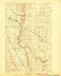
1900 · Pingree
USGS Topo · 1:125,000
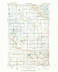
1944 · Brantford
USGS Topo · 1:62,500
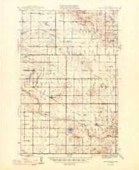
1946 · Brantford
USGS Topo · 1:62,500
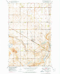
1949 · Grace City
USGS Topo · 1:24,000
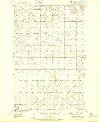
1950 · Brantford NW
USGS Topo · 1:24,000
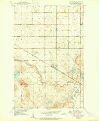
1950 · Grace City
USGS Topo · 1:24,000
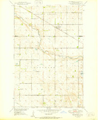
1950 · Brantford
USGS Topo · 1:24,000
1950 · Brantford NE
USGS Topo · 1:24,000
1951 · Bordulac NE
USGS Topo · 1:24,000
1951 · Kensal NW
USGS Topo · 1:24,000