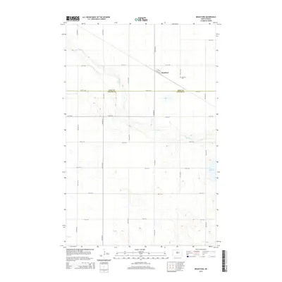
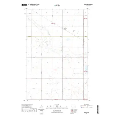
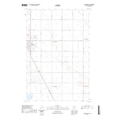
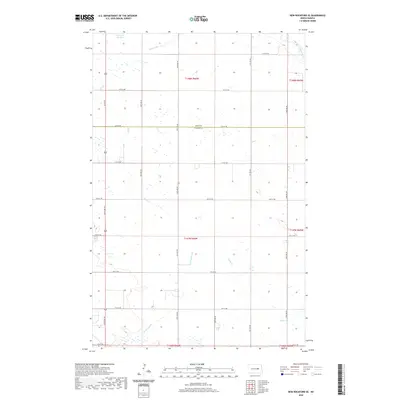
1950 Map of Brantford
USGS Topo · Published 1950About this map
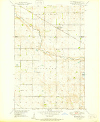
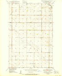
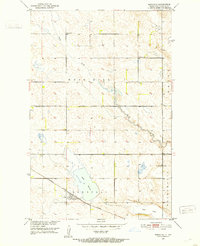
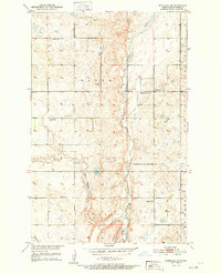
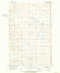
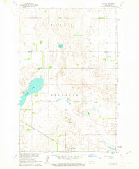
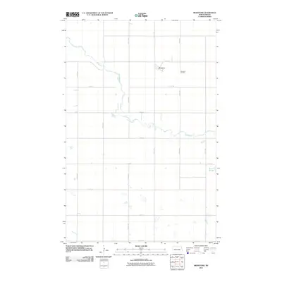
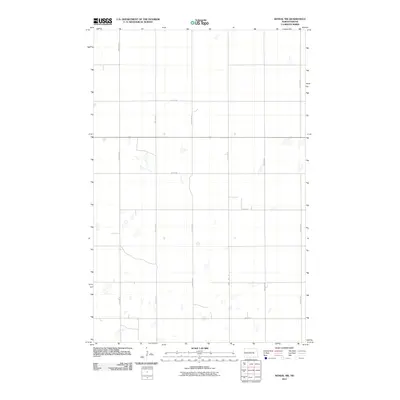
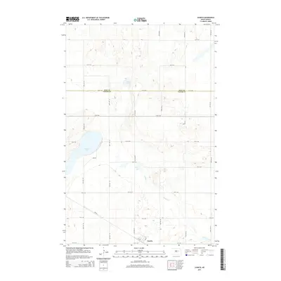
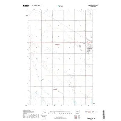
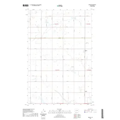
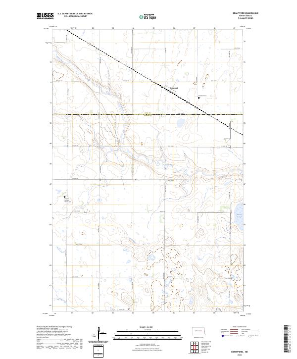
Brantford stands as the primary rail settlement on this mid-century survey, situated along the Great Northern railroad in the northern reaches of Foster County. The landscape is defined by the winding course of the James River and the undulating plains of Pleasant Prairie and Nordmore. Rural life is meticulously documented through a network of numbered country schoolhouses, including School No. 1 through School No. 4, and Plainview Sch No 2. Genealogists will find particular value in the locations of the Kvernes Ch and the Brantford Cem. The map captures the region's agricultural character just as the Department of the Interior was focusing on the development of the Missouri River Basin, documenting the essential water sources like Kelly Creek and Rusten Slough that sustained these prairie townships.
Find a feature on this map
18 named features on this map. Tap any name to fly to it.
Don’t see what you’re looking for? This feature index may not catch every label — zoom into the map to look around manually.
Map Details
Editions of this 1950 Brantford Map
This is the sole edition of this map. No revisions or reprints were ever made.
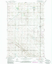
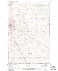
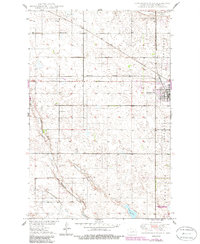
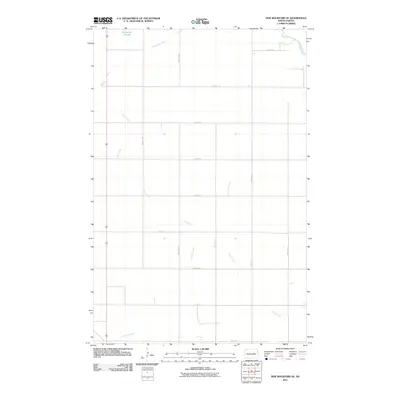
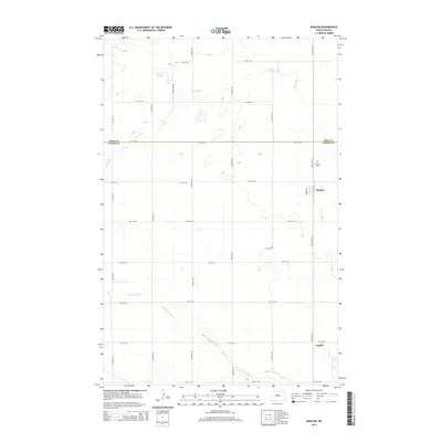
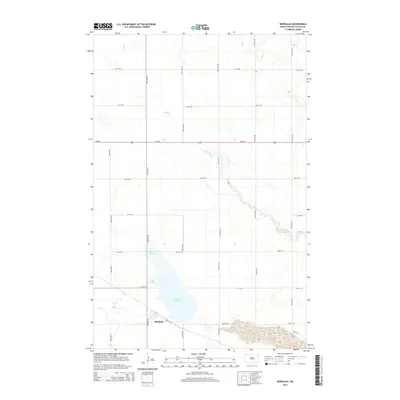
Historical Maps of Brantford Through Time
54 maps found
1950 Barlow
Foster County, ND
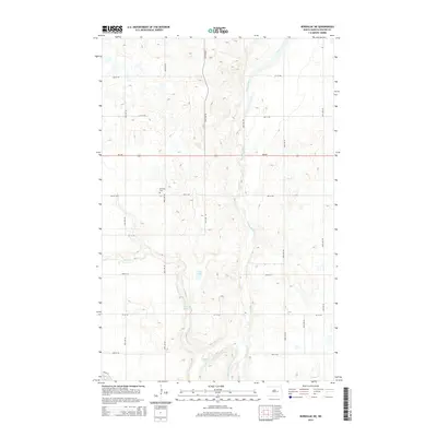
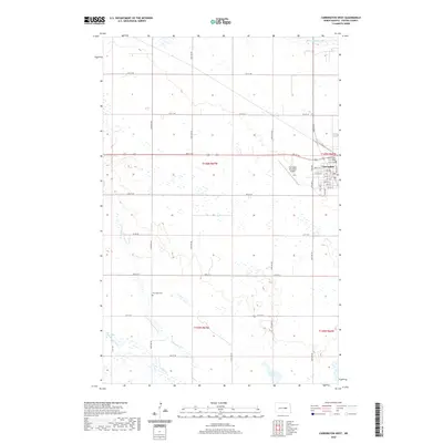
1950 Brantford
Foster County, ND
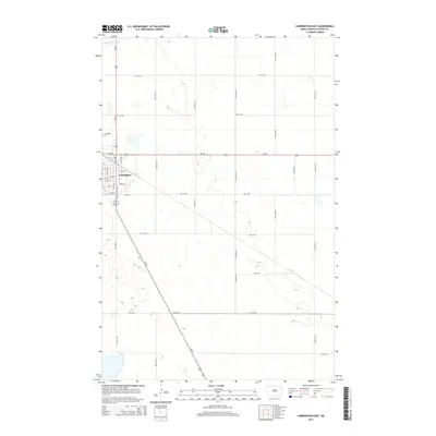
1950 Carrington East
Foster County, ND
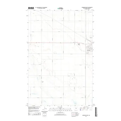
1950 Carrington West
Foster County, ND
1950 New Rockford SE
Foster County, ND
1951 Bordulac
Foster County, ND
1951 Bordulac NE
Foster County, ND
1951 Kensal NW
Foster County, ND
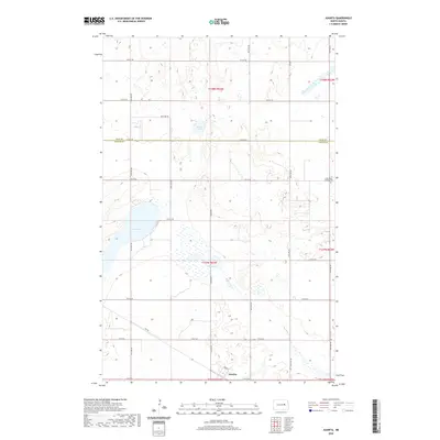
1961 Juanita
Foster County, ND
2011 Barlow
Foster County, ND
2011 Bordulac
Foster County, ND
2011 Bordulac NE
Foster County, ND
2011 Brantford
Foster County, ND
2011 Carrington East
Foster County, ND
2011 Carrington West
Foster County, ND
2011 Juanita
Foster County, ND
2011 Kensal NW
Foster County, ND
2011 New Rockford SE
Foster County, ND
2014 Barlow
Foster County, ND
2014 Bordulac
Foster County, ND
2014 Bordulac NE
Foster County, ND
2014 Brantford
Foster County, ND
2014 Carrington East
Foster County, ND
2014 Carrington West
Foster County, ND
2014 Juanita
Foster County, ND
2014 Kensal NW
Foster County, ND
2014 New Rockford SE
Foster County, ND
2017 Barlow
Foster County, ND
2017 Carrington East
Foster County, ND
2018 Bordulac
Foster County, ND
2018 Bordulac NE
Foster County, ND
2018 Brantford
Foster County, ND
2018 Carrington West
Foster County, ND
2018 Juanita
Foster County, ND
2018 Kensal NW
Foster County, ND
2018 New Rockford SE
Foster County, ND
2020 Barlow
Foster County, ND
2020 Bordulac
Foster County, ND
2020 Bordulac NE
Foster County, ND
2020 Brantford
Foster County, ND
2020 Carrington East
Foster County, ND
2020 Carrington West
Foster County, ND
2020 Juanita
Foster County, ND
2020 Kensal NW
Foster County, ND
2020 New Rockford SE
Foster County, ND
2024 Barlow
Foster County, ND
2024 Bordulac
Foster County, ND
2024 Bordulac NE
Foster County, ND
2024 Brantford
Foster County, ND
2024 Carrington East
Foster County, ND
2024 Carrington West
Foster County, ND
2024 Juanita
Foster County, ND
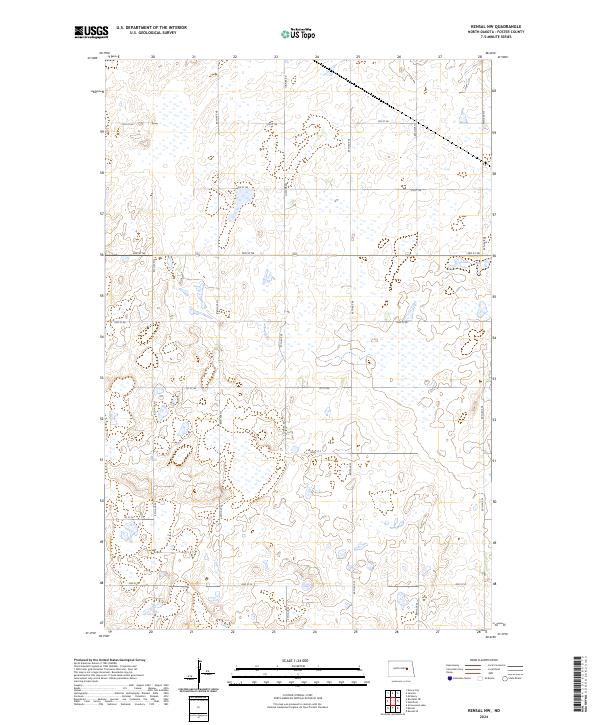
2024 Kensal NW
Foster County, ND
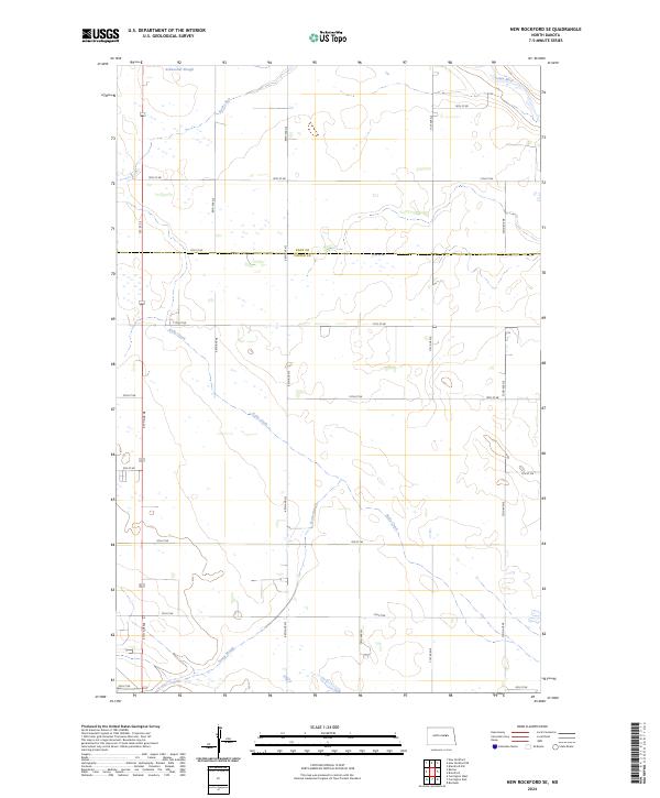
2024 New Rockford SE
Foster County, ND