
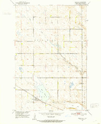
1950 Map of Grace City
USGS Topo · Published 1950About this map
Grace City serves as the central hub of this prairie landscape at the intersection of the Great Northern railroad and the James River. The geography is defined by a collection of glacial wetlands and water bodies, including Cherry Lake, Blue Cloud Lake, and the winding Rusten Slough. These features, along with the Melby Hills in the southwest, illustrate the post-glacial topography of the Missouri River Basin.
Find a feature on this map
14 named features on this map. Tap any name to fly to it.
Don’t see what you’re looking for? This feature index may not catch every label — zoom into the map to look around manually.
Map Details
Editions of this 1950 Grace City Map
This is the sole edition of this map. No revisions or reprints were ever made.
Other maps of this area

1900 · Pingree
USGS Topo · 1:125,000

1944 · Brantford
USGS Topo · 1:62,500

1946 · Brantford
USGS Topo · 1:62,500

1949 · Grace City
USGS Topo · 1:24,000

1950 · Brantford NW
USGS Topo · 1:24,000

1950 · Brantford
USGS Topo · 1:24,000

1950 · Brantford NE
USGS Topo · 1:24,000

1951 · Bordulac NE
USGS Topo · 1:24,000

1951 · Kensal NW
USGS Topo · 1:24,000
1951 · Bordulac
USGS Topo · 1:24,000