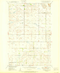
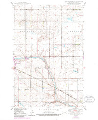
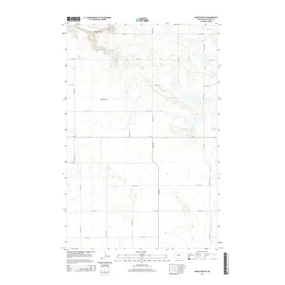
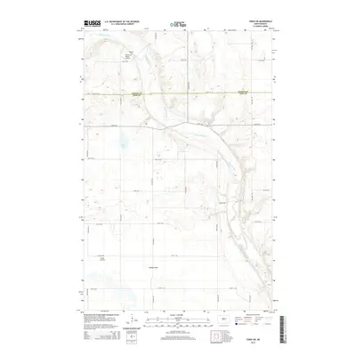
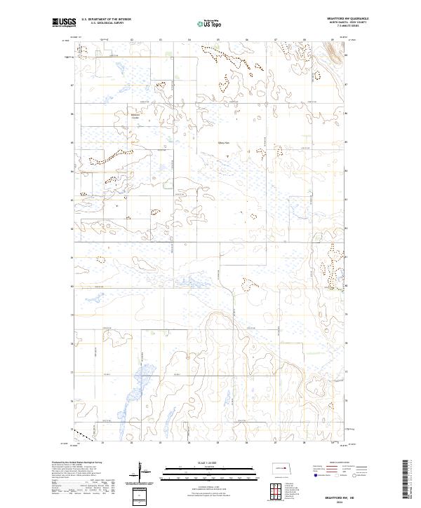
1950 Map of Brantford NW
USGS Topo · Published 1950About this map
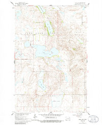
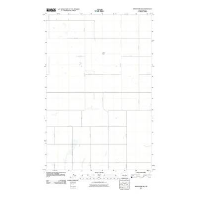
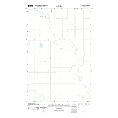
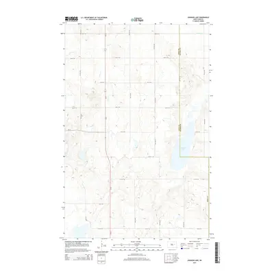
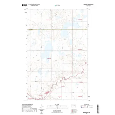
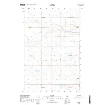
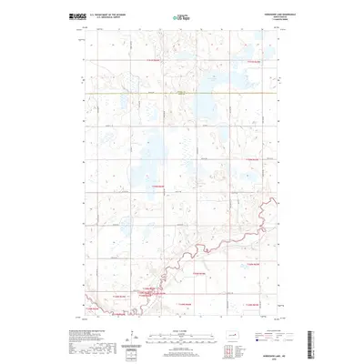
Tiffany Flats and Pleasant Prairie dominate this mid-century landscape in Eddy County, illustrating the sparse, structured settlement pattern of the North Dakota plains. The map reveals a highly organized rural education system defined by small district facilities such as Smith Sch No 1, School No 1, and the centrally located Ninemile Sch. These schoolhouses were the social anchors for family farms scattered across the prairie before the consolidation of rural districts changed the local geography. Drainage is defined by the winding Robinson Coulee, while the southern edge of the survey is bounded by the tracks of the Great Northern railroad. This industrial corridor provided the essential link for transporting grain from these isolated flats to wider markets, a vital component of the regional economy during this era of Missouri River Basin development.
Find a feature on this map
11 named features on this map. Tap any name to fly to it.
Don’t see what you’re looking for? This feature index may not catch every label — zoom into the map to look around manually.
Map Details
Editions of this 1950 Brantford NW Map
This is the sole edition of this map. No revisions or reprints were ever made.
Historical Maps of Eddy County Through Time
57 maps found
1944 Brantford
Eddy County, ND
1946 Brantford
Eddy County, ND
1950 Brantford NE
Eddy County, ND
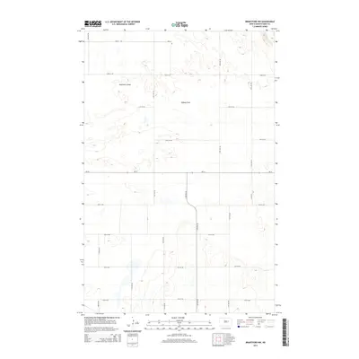
1950 Brantford NW
Eddy County, ND
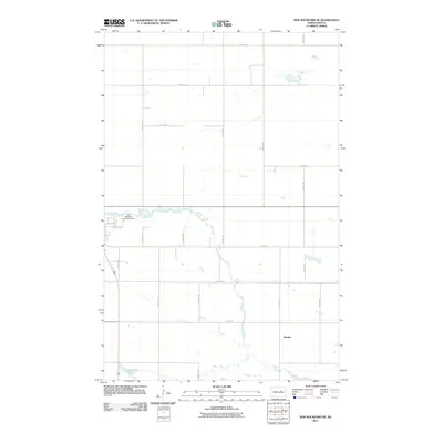
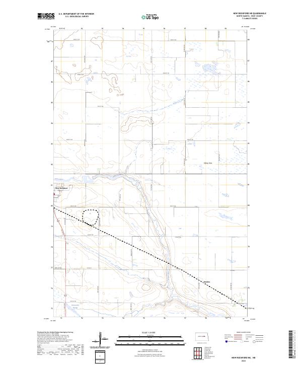
1950 New Rockford NE
Eddy County, ND
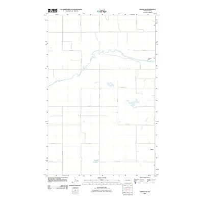
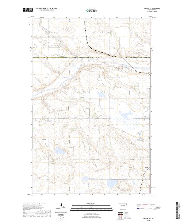
1950 Oberon SW
Eddy County, ND
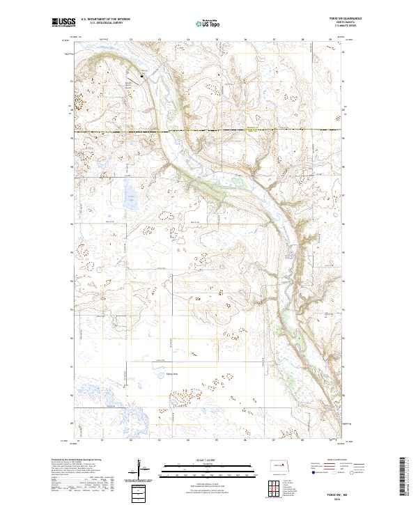
1950 Tokio SW
Eddy County, ND
1951 Horseshoe Lake
Eddy County, ND

1961 Johnson Lake
Eddy County, ND
1961 Lake Coe
Eddy County, ND
1962 Hamar
Eddy County, ND
1975 Tokio SW
Eddy County, ND
2011 Brantford NE
Eddy County, ND
2011 Brantford NW
Eddy County, ND
2011 Hamar
Eddy County, ND
2011 Horseshoe Lake
Eddy County, ND
2011 Johnson Lake
Eddy County, ND
2011 Lake Coe
Eddy County, ND
2011 New Rockford NE
Eddy County, ND
2011 Oberon SW
Eddy County, ND
2011 Tokio SW
Eddy County, ND
2014 Brantford NE
Eddy County, ND
2014 Brantford NW
Eddy County, ND
2014 Hamar
Eddy County, ND
2014 Horseshoe Lake
Eddy County, ND
2014 Johnson Lake
Eddy County, ND
2014 Lake Coe
Eddy County, ND
2014 New Rockford NE
Eddy County, ND
2014 Oberon SW
Eddy County, ND
2014 Tokio SW
Eddy County, ND
2017 Brantford NE
Eddy County, ND
2018 Brantford NW
Eddy County, ND
2018 Hamar
Eddy County, ND
2018 Horseshoe Lake
Eddy County, ND
2018 Johnson Lake
Eddy County, ND
2018 Lake Coe
Eddy County, ND
2018 New Rockford NE
Eddy County, ND
2018 Oberon SW
Eddy County, ND

2018 Tokio SW
Eddy County, ND
2020 Brantford NE
Eddy County, ND
2020 Brantford NW
Eddy County, ND
2020 Hamar
Eddy County, ND
2020 Horseshoe Lake
Eddy County, ND
2020 Johnson Lake
Eddy County, ND
2020 Lake Coe
Eddy County, ND
2020 New Rockford NE
Eddy County, ND
2020 Oberon SW
Eddy County, ND
2020 Tokio SW
Eddy County, ND
2024 Brantford NE
Eddy County, ND
2024 Brantford NW
Eddy County, ND
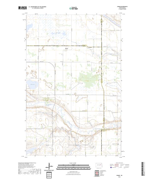
2024 Hamar
Eddy County, ND
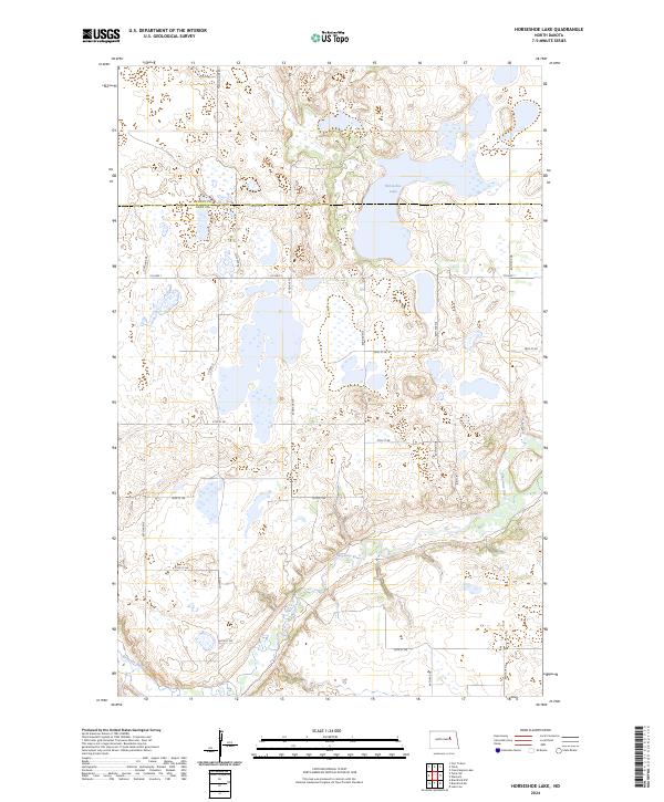
2024 Horseshoe Lake
Eddy County, ND
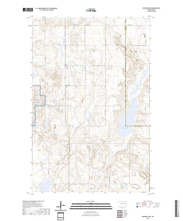
2024 Johnson Lake
Eddy County, ND
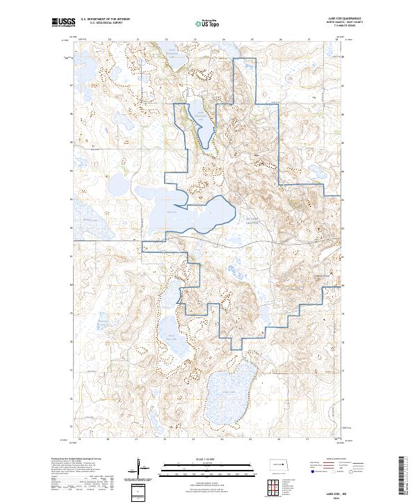
2024 Lake Coe
Eddy County, ND
2024 New Rockford NE
Eddy County, ND
2024 Oberon SW
Eddy County, ND
2024 Tokio SW
Eddy County, ND