
1950 Map of Sheyenne
USGS Topo · Published 1950About this map
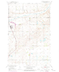
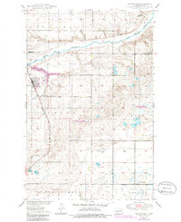
Sheyenne sits at the junction of the Northern Pacific railroad and Route 281, serving as a primary hub for this portion of Eddy County during the mid-century. The landscape is defined by the winding course of the Sheyenne River, which passes just north of town beneath the Old Indian Reservation Boundary. This 1950 survey reveals a high density of rural institutions that supported the surrounding agricultural community, including Plainview Sch No 3, Sheyenne Sch No 4, and Rose Hill Sch.
Find a feature on this map
25 named features on this map. Tap any name to fly to it.
Don’t see what you’re looking for? This feature index may not catch every label — zoom into the map to look around manually.
Map Details
Editions of this 1950 Sheyenne Map
3 editions found
Other maps of this area

1928 · Tokio
USGS Topo · 1:62,500

1931 · Oberon
USGS Topo · 1:62,500

1931 · Tokio
USGS Topo · 1:62,500

1944 · Brantford
USGS Topo · 1:62,500

1946 · Brantford
USGS Topo · 1:62,500

1948 · New Rockford
USGS Topo · 1:62,500

1950 · New Rockford
USGS Topo · 1:24,000

1950 · New Rockford NE
USGS Topo · 1:24,000

1950 · Oberon SW
USGS Topo · 1:24,000

1950 · Brantford NW
USGS Topo · 1:24,000