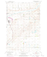
1950 Map of Sheyenne
USGS Topo · Published 1977About this map
Sheyenne serves as the primary hub of activity on this survey, situated along the Northern Pacific railroad line near the Sheyenne River. The landscape is defined by the Old Indian Reservation Boundary cutting across the northern sections, separating the township from the rugged terrain of Twin Tree. Local history and genealogy are well-represented by several burial grounds, including Riverside Cem and Holy Cross Cem near the town center, and Morningside Cem to the south. Further down the rail line, the small settlement of Divide marks a key stop before the tracks continue toward New Rockford. The presence of the Warsing Dam and various unnamed springs highlights the importance of water management in this prairie environment, while regional identifiers like Bush and Tiffany describe the character of the surrounding plains.
Find a feature on this map
19 named features on this map. Tap any name to fly to it.
Don’t see what you’re looking for? This feature index may not catch every label — zoom into the map to look around manually.
Map Details
Editions of this 1950 Sheyenne Map
3 editions found

Other maps of this area

1928 · Tokio
USGS Topo · 1:62,500

1931 · Oberon
USGS Topo · 1:62,500

1931 · Tokio
USGS Topo · 1:62,500

1944 · Brantford
USGS Topo · 1:62,500

1946 · Brantford
USGS Topo · 1:62,500

1948 · New Rockford
USGS Topo · 1:62,500

1950 · New Rockford
USGS Topo · 1:24,000

1950 · New Rockford NE
USGS Topo · 1:24,000

1950 · Oberon SW
USGS Topo · 1:24,000

1950 · Brantford NW
USGS Topo · 1:24,000