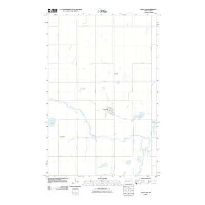
2011 Map of Grace City
USGS Topo · Published 2011About this map
Grace City sits at the heart of this Foster County landscape, defined by its relationship to the winding James River and the regional rail infrastructure. The town plan is organized around the intersection of Main St and the railroad corridor, evidenced by the alignment of N Railroad Ave and S Railroad Ave. This grid-like development contrasts with the organic water bodies scattered throughout the surrounding prairie, including Rusten Slough to the west and the pair of Blue Cloud Lake and Juanita Lake to the east.
Find a feature on this map
26 named features on this map. Tap any name to fly to it.
Don’t see what you’re looking for? This feature index may not catch every label — zoom into the map to look around manually.
Map Details
Editions of this 2011 Grace City Map
This is the sole edition of this map. No revisions or reprints were ever made.
Other maps of this area

1900 · Pingree
USGS Topo · 1:125,000

1944 · Brantford
USGS Topo · 1:62,500

1946 · Brantford
USGS Topo · 1:62,500

1949 · Grace City
USGS Topo · 1:24,000

1950 · Brantford NW
USGS Topo · 1:24,000

1950 · Grace City
USGS Topo · 1:24,000

1950 · Brantford
USGS Topo · 1:24,000

1950 · Brantford NE
USGS Topo · 1:24,000

1951 · Bordulac NE
USGS Topo · 1:24,000

1951 · Kensal NW
USGS Topo · 1:24,000