Old Maps of Elmwood Township, North Dakota for Metal Detecting
Plan your next treasure hunt with 33 historic maps of Elmwood Township. Find old homesites, ghost towns, trails, and gathering spots that may be lost to time — perfect for identifying promising metal detecting locations.
- Locate forgotten sites: Uncover places like long-lost settlements, abandoned rail lines, or gathering spots.
- Plan better hunts: Use map overlays combined with LiDAR or satellite views to narrow in on historically rich areas.
- Made for detectorists: Thousands of hobbyists use these maps to discover relics, coins, and hidden history.
Use these historic maps to boost your research and find new opportunities beneath the surface of Elmwood Township.
Elmwood Township, ND maps
(33)- 1909 Map of Glendive
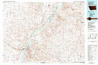
 1909 Glendive1909 Print · USGSThe confluence of the Missouri and Yellowstone rivers in the first decade of the twentieth century shows a region of scattered ranches and emerging river towns. Genealogists can trace family landmarks like Cavanaughs Ranch or Nortons Ranch and find early resource sites like the Coal Mine.
 - 1953 Map of Watford City, 1968 Print
 1953 Watford City1968 Print · USGSNorth Dakota's badlands and the Missouri River basin are captured here during the 1950s and 60s as the Garrison Dam changed the landscape. Researchers can trace old rail lines like the Great Northern or find rural outposts such as Grassy Butte and Halliday.3 unique versions available
 - 1954 Map of Glendive, 1967 Print
 1954 Glendive1967 Print · USGSEastern Montana at mid-century shows a landscape of river-valley commerce and remote prairie ranching. Researchers can trace the legacy of rural education and transport through sites like Prairie Elk School, the Great Northern rail lines, and Circle.2 unique versions available
 - 1957 Map of Glendive
 1957 Glendive1957 Print · USGSEastern Montana in the mid-1950s is defined by its deep river valleys and a sprawling network of rural school districts. You can trace the path of the Great Northern railroad and locate vanished local landmarks like Breezy Flat School and Newton Junction.
 - 1957 Map of Watford City
 1957 Watford City1957 Print · USGSWestern North Dakota's landscape is captured here during the mid-fifties as the Missouri River valley undergoes massive change following the creation of Garrison Reservoir. Genealogists and historians can trace dozens of rural schools like Divide School and early settlements such as Arnegard and Grassy Butte.
 - 1958 Map of Glendive
 1958 Glendive1958 Print · USGSEastern Montana and the North Dakota borderlands come alive in the late fifties, showing the agricultural heart of the Yellowstone valley. Trace the legacy of rural education through Kimmel School and Ridgelawn School or locate rail hubs in Glendive and Sidney.
 - 1967 Map of Watford City
 1967 Watford City1967 Print · USGSWestern North Dakota is captured during a period of landscape transformation as the Missouri River valley was reshaped by the new Garrison Reservoir. Genealogists and local historians can trace the foundations of Watford City, find the Elkhorn Ranch Site, or locate rural landmarks like Ziner Butte and Grassy Butte.
 - 1974 Map of Hootowl Creek West, 1977 Print
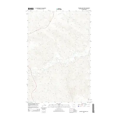
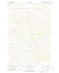 1974 Hootowl Creek West1977 Print · USGSGolden Valley County's western plains are captured here in the mid-seventies, showing a landscape defined by water and ranching. Genealogists and historians can trace the boundaries of Henry and Pearl or locate landmarks like the Flowing Well and Gravel Pit.
 - 1974 Map of Odland Dam, 1977 Print
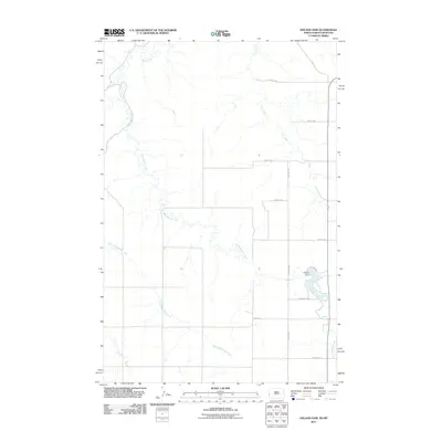
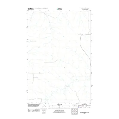
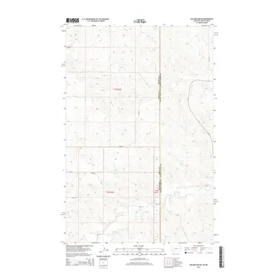
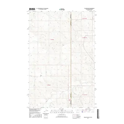
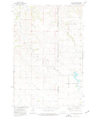 1974 Odland Dam1977 Print · USGSThe North Dakota-Montana borderlands come into focus in the mid-seventies, showing a landscape defined by the Little Beaver Creek drainage. Researchers can locate the Odland Dam, the Elmwood community Townhall, and local industrial Scoria Pits.
 - 1974 Map of Odland Dam NE, 1977 Print
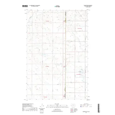
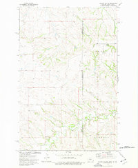 1974 Odland Dam NE1977 Print · USGSThe high plains along the Montana-North Dakota border come alive in this mid-seventies survey. Genealogists and local historians can locate rural landmarks like Arvid Sch and Blue Mountain Cem among the drainages of Dry Beaver Creek.
 - 1974 Map of Hootowl Creek SW, 1977 Print
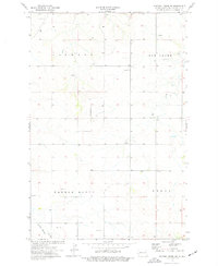 1974 Hootowl Creek SW1977 Print · USGSGolden Valley County in the mid-seventies is documented here during a period of quiet ranching and resource extraction. Genealogists and local historians can trace the topography of Elmwood and locate landmarks like the Townhall and Saddle Butte.
 - 1981 Map of Glendive
 1981 Glendive1981 Print · USGSEastern Montana and the North Dakota border come into focus in the early 1980s, centered on the Yellowstone River corridor. Researchers can trace rural schoolhouses like Green School, early aviation sites at Savage Airport, and the industrial footprint of the Burlington Northern rail line.
 - 1983 Map of Grassy Butte
 1983 Grassy Butte1983 Print · USGSWestern North Dakota’s Badlands are mapped here in the early 1980s, centered on the Little Missouri River and its rugged breaks. Local historians can trace the boundaries of Grassy Butte and Fairfield, alongside landmarks like Pikes Peak and the isolated Elkhorn Ranch Site.
 - 2011 Map of Hootowl Creek SW, 2011 Print
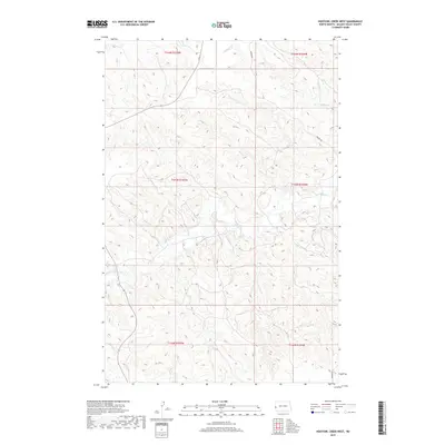
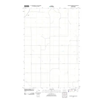 2011 Hootowl Creek SW2011 Print · USGSCovers Elmwood Township, including Saddle Butte Township, Delhi Township, and other nearby areas
 - 2011 Map of Hootowl Creek West, 2011 Print
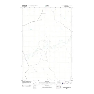 2011 Hootowl Creek West2011 Print · USGSCovers Elmwood Township, including Pearl Township, Henry Township, and other nearby areas
 - 2011 Map of Odland Dam, 2011 Print
 2011 Odland Dam2011 Print · USGSCovers Elmwood Township, including Saddle Butte Township, Wibaux County, and other nearby areas
 - 2011 Map of Odland Dam NE, 2011 Print
 2011 Odland Dam NE2011 Print · USGSCovers Elmwood Township, including Henry Township, Wibaux County, and other nearby areas
 - 2014 Map of Hootowl Creek West, 2014 Print
 2014 Hootowl Creek West2014 Print · USGSCovers Elmwood Township, including Pearl Township, Henry Township, and other nearby areas
 - 2014 Map of Hootowl Creek SW, 2014 Print
 2014 Hootowl Creek SW2014 Print · USGSCovers Elmwood Township, including Saddle Butte Township, Delhi Township, and other nearby areas
 - 2014 Map of Odland Dam, 2014 Print
 2014 Odland Dam2014 Print · USGSCovers Elmwood Township, including Saddle Butte Township, Wibaux County, and other nearby areas
 - 2014 Map of Odland Dam NE, 2014 Print
 2014 Odland Dam NE2014 Print · USGSCovers Elmwood Township, including Henry Township, Wibaux County, and other nearby areas
 - 2017 Map of Odland Dam NE, 2017 Print
 2017 Odland Dam NE2017 Print · USGSCovers Elmwood Township, including Henry Township, Wibaux County, and other nearby areas
 - 2017 Map of Odland Dam, 2017 Print
 2017 Odland Dam2017 Print · USGSCovers Elmwood Township, including Saddle Butte Township, Wibaux County, and other nearby areas
 - 2017 Map of Hootowl Creek SW, 2017 Print
 2017 Hootowl Creek SW2017 Print · USGSCovers Elmwood Township, including Saddle Butte Township, Delhi Township, and other nearby areas
 - 2019 Map of Hootowl Creek West, 2019 Print
 2019 Hootowl Creek West2019 Print · USGSCovers Elmwood Township, including Pearl Township, Henry Township, and other nearby areas
Showing maps 1-25 of 33
Top cities near Elmwood Township
Frequently asked questions
- What are the different types of historical maps available for Elmwood Township?
- What is the oldest map of Elmwood Township?
- Where can I purchase historical maps of Elmwood Township for my home or office?
- Where can I download high-res historical maps of Elmwood Township?
- Are there historical topographic maps available for Elmwood Township?
- Is there historical aerial imagery available for Elmwood Township?
- Where are historical maps of Elmwood Township sourced from?