Old Maps of Brisbane, North Dakota for Genealogy
Trace your family roots with 9 historic maps of Brisbane. These high-res maps reveal old neighborhoods, homesites, landmarks, and streets — helping you uncover where your ancestors lived and how the area evolved over time.
- Explore historic neighborhoods: Identify where your relatives may have lived in the 1800s or 1900s.
- Compare maps over time: Trace the changes in streets, buildings, and landmarks for multi-generational research.
- Perfect for genealogy & ancestry research: Used by family historians and researchers to map out lineage and migration.
These maps are an incredible resource for exploring your personal connection to Brisbane's past.
Brisbane, ND maps
(9)- 1954 Map of Bismarck, 1967 Print
 1954 Bismarck1967 Print · USGSBismarck and the Missouri River basin are shown in the mid-1960s as the Oahe Reservoir reshaped the valley. Genealogists can trace family-named landmarks like Dog Tooth Buttes and small prairie settlements such as Fort Yates, Selfridge, and Brisbane.2 unique versions available
 - 1958 Map of Bismarck
 1958 Bismarck1958 Print · USGSCentral North Dakota in the late fifties is defined by the Missouri River and the sprawling Standing Rock Indian Reservation. Genealogists and historians can trace rail-line outposts like Sedalia Siding or explore local landmarks like Saint Anthony and Fort Lincoln State Park/Museum.
 - 1980 Map of Brisbane
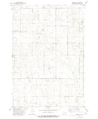 1980 Brisbane1980 Print · USGSGrant County’s prairie landscape is captured here in the mid-1970s, showing the intersection of rail transit and rural agriculture. Genealogists and historians can trace the Chicago Milwaukee St Paul and Pacific line past Brisbane and the local Cem.
 - 1980 Map of Elgin
 1980 Elgin1980 Print · USGSNorth Dakota's southern plains come alive in the early eighties as the Standing Rock Indian Reservation meets the Cannonball River. Trace the rail lines serving Elgin and Carson, or locate family-named landmarks like Thompson Butte and Heil.
 - 2011 Map of Brisbane, 2011 Print
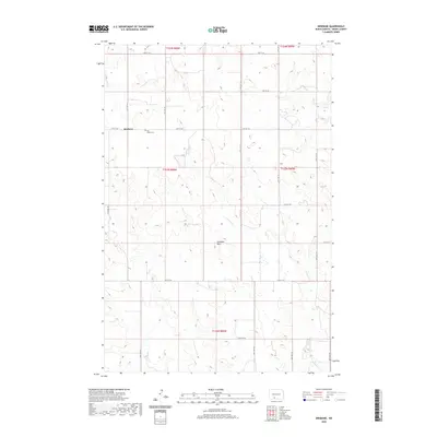
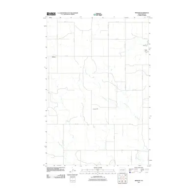 2011 Brisbane2011 Print · USGSCovers Brisbane, including Grant County, United States, and other nearby areas
 - 2014 Map of Brisbane, 2014 Print
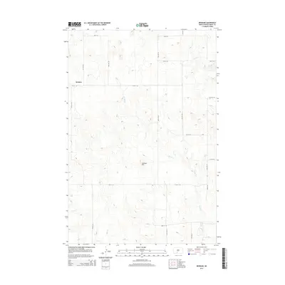 2014 Brisbane2014 Print · USGSCovers Brisbane, including Grant County, United States, and other nearby areas
 - 2018 Map of Brisbane, 2018 Print
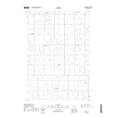 2018 Brisbane2018 Print · USGSCovers Brisbane, including Grant County, United States, and other nearby areas
 - 2020 Map of Brisbane, 2020 Print
 2020 Brisbane2020 Print · USGSCovers Brisbane, including Grant County, United States, and other nearby areas
 - 2024 Map of Brisbane, 2024 Print
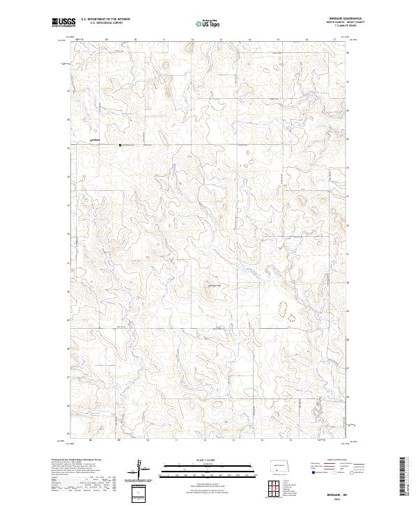 2024 Brisbane2024 Print · USGSGrant County is captured in its modern rural character, defined by the high plains and the small settlement of Brisbane. Genealogists and local historians can trace family locations near the Holy Infant Cem and follow the natural contours of the Antelope Hills and Sixmile Creek.
End of results
Showing maps 1-9 of 9
Top cities near Brisbane
Frequently asked questions
- What are the different types of historical maps available for Brisbane?
- What is the oldest map of Brisbane?
- Where can I purchase historical maps of Brisbane for my home or office?
- Where can I download high-res historical maps of Brisbane?
- Are there historical topographic maps available for Brisbane?
- Is there historical aerial imagery available for Brisbane?
- Where are historical maps of Brisbane sourced from?