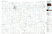
Old Maps of Litchville Township, North Dakota for Academic Research
Study the evolution of Litchville Township with 28 high-resolution historic maps. Whether you're teaching, researching, or modeling changes in land use, these maps provide essential visual documentation of urban, environmental, and geographic change.
- Analyze long-term change: Track patterns in development, transportation, and natural features.
- Ideal for environmental or urban studies: Support academic projects with primary historical map data.
- Use in the classroom or lab: Educators and researchers rely on these maps to bring historical context to life.
These maps are a powerful tool for teaching, research, and visualizing how Litchville Township has changed over the decades.
Litchville Township, ND maps
(28)- 1897 Map of Eckelson
 1897 Eckelson1897 Print · USGSEastern North Dakota in the late nineteenth century was a land defined by the iron rail and a network of glacial lakes. Genealogists can trace early homesteads and rail stops near Valley City, Sanborn, and the isolated post office at Svea.3 unique versions available
 - 1953 Map of Jamestown
 1953 Jamestown1953 Print · USGSSoutheastern North Dakota was a thriving rail and agricultural corridor in the early fifties, anchored by the James River. Researchers can trace the footprints of institutional landmarks like the North Dakota State Hospital and historic sites such as Whitestone Hill Battlefield Park.3 unique versions available
 - 1956 Map of Jamestown
 1956 Jamestown1956 Print · USGSThe James River valley and the vast alkali lake country of south-central North Dakota are captured here in the mid-fifties. Genealogists can trace family farms across several counties, locating small rail stops like Medberry and monuments like Whitestone Hill Battlefield Park.
 - 1970 Map of Litchville, 1972 Print
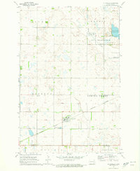 1970 Litchville1972 Print · USGSLitchville and the surrounding townships of Barnes and La Moure counties are captured here during the early seventies. Researchers can trace family sites at St Thomas Cem, Swedish Cem, and St Anns Cem along the Burlington Northern line.
 - 1970 Map of Hastings, 1973 Print
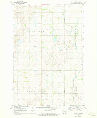
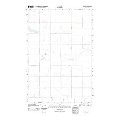
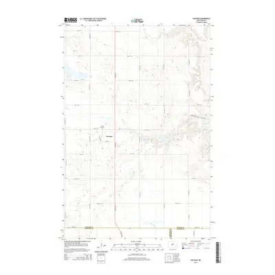
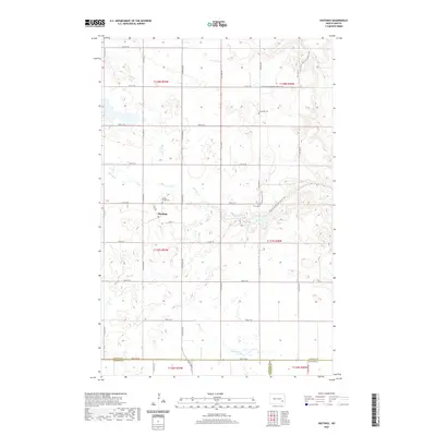
 1970 Hastings1973 Print · USGSThe small town of Hastings and its surrounding prairie townships are captured here in the early 1970s. Researchers can locate family landmarks like the Spring Creek Cem or trace the Burlington Northern line through Spring Creek.
 - 1970 Map of Litchville SW, 1973 Print
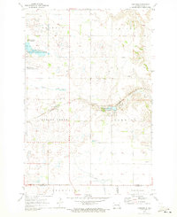
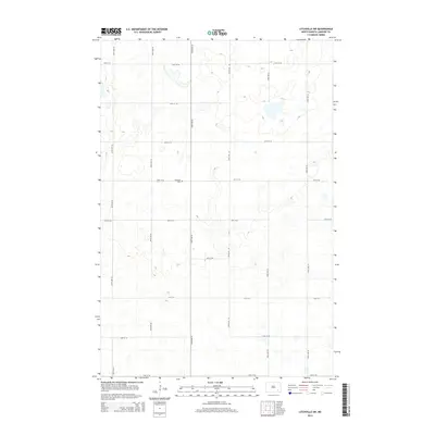
 1970 Litchville SW1973 Print · USGSLaMoure County's pothole prairie is captured here in the early 1970s, showing a remote landscape of section-line roads and family-tilled sections. Genealogists can locate rural landmarks like Griswold Ch, Lutheran Cem, and the community of Gladstone.
 - 1970 Map of Litchville SE, 1973 Print
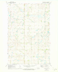
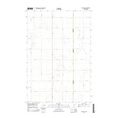
 1970 Litchville SE1973 Print · USGSLaMoure and Ransom counties are captured here in the early seventies, showing a classic North Dakota township landscape. Genealogists can locate specific family landmarks like North LaMoure Ch, Sulli Cem, and the winding path of Bear Creek.
 - 1986 Map of Jamestown
 1986 Jamestown1986 Print · USGSThe eastern North Dakota prairie comes into focus in the mid-eighties, centered on the rail and river hubs of Jamestown and Valley City. You can trace the Burlington Northern line through historic stops like Eckelson, Sanborn, and Spiritwood while exploring vast wildlife refuges and local landmarks.2 unique versions available
 - 2011 Map of Litchville SE, 2011 Print
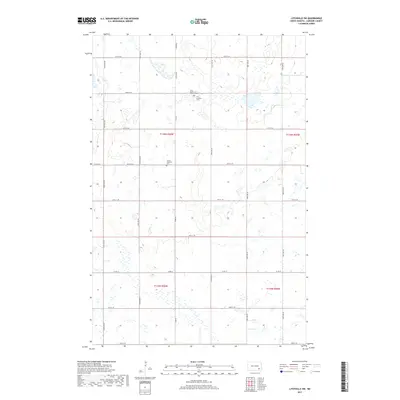
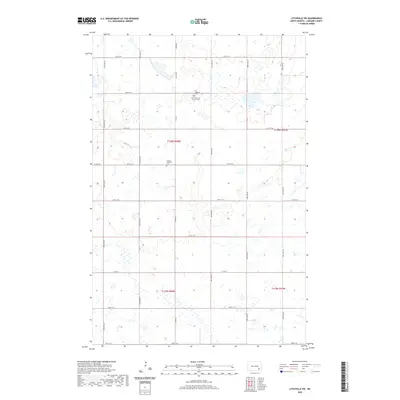
 2011 Litchville SE2011 Print · USGSCovers Litchville Township, including Northland Township, Fort Ransom Township, and other nearby areas
 - 2011 Map of Litchville, 2011 Print
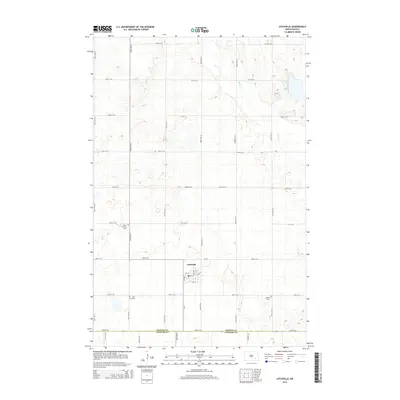
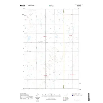
 2011 Litchville2011 Print · USGSCovers Litchville Township, including Litchville, Skandia Township, and other nearby areas
 - 2011 Map of Litchville SW, 2011 Print
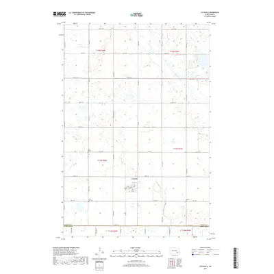
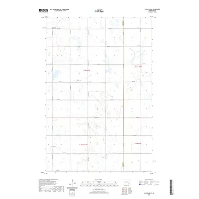
 2011 Litchville SW2011 Print · USGSCovers Litchville Township, including Prairie Township, Black Loam Township, and other nearby areas
 - 2011 Map of Hastings, 2011 Print
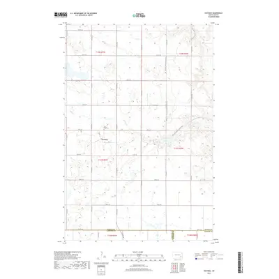
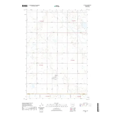
 2011 Hastings2011 Print · USGSCovers Litchville Township, including Skandia Township, Northland Township, and other nearby areas
 - 2014 Map of Litchville SW, 2014 Print
 2014 Litchville SW2014 Print · USGSCovers Litchville Township, including Prairie Township, Black Loam Township, and other nearby areas
 - 2014 Map of Litchville SE, 2014 Print
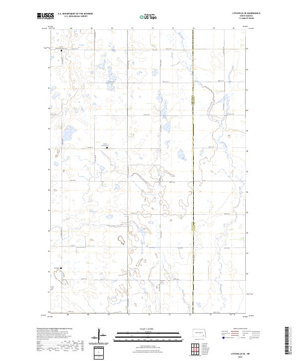
 2014 Litchville SE2014 Print · USGSCovers Litchville Township, including Northland Township, Fort Ransom Township, and other nearby areas
 - 2014 Map of Hastings, 2014 Print
 2014 Hastings2014 Print · USGSCovers Litchville Township, including Skandia Township, Northland Township, and other nearby areas
 - 2014 Map of Litchville, 2014 Print
 2014 Litchville2014 Print · USGSCovers Litchville Township, including Litchville, Skandia Township, and other nearby areas
 - 2017 Map of Litchville, 2017 Print
 2017 Litchville2017 Print · USGSCovers Litchville Township, including Litchville, Skandia Township, and other nearby areas
 - 2017 Map of Litchville SW, 2017 Print
 2017 Litchville SW2017 Print · USGSCovers Litchville Township, including Prairie Township, Black Loam Township, and other nearby areas
 - 2018 Map of Hastings, 2018 Print
 2018 Hastings2018 Print · USGSCovers Litchville Township, including Skandia Township, Northland Township, and other nearby areas
 - 2018 Map of Litchville SE, 2018 Print
 2018 Litchville SE2018 Print · USGSCovers Litchville Township, including Northland Township, Fort Ransom Township, and other nearby areas
 - 2020 Map of Litchville, 2020 Print
 2020 Litchville2020 Print · USGSCovers Litchville Township, including Litchville, Skandia Township, and other nearby areas
 - 2020 Map of Litchville SE, 2020 Print
 2020 Litchville SE2020 Print · USGSCovers Litchville Township, including Northland Township, Fort Ransom Township, and other nearby areas
 - 2020 Map of Litchville SW, 2020 Print
 2020 Litchville SW2020 Print · USGSCovers Litchville Township, including Prairie Township, Black Loam Township, and other nearby areas
 - 2020 Map of Hastings, 2020 Print
 2020 Hastings2020 Print · USGSCovers Litchville Township, including Skandia Township, Northland Township, and other nearby areas
 - 2024 Map of Litchville SE, 2024 Print
 2024 Litchville SE2024 Print · USGSLaMoure and Ransom counties are documented here in 2024, showing the prairie landscape at the crossroads of several historic townships. Researchers can locate family roots at the North Lamoure Pioneer Cemetery and Sjulli Cemetery or trace the course of Bear Creek.
Showing maps 1-25 of 28
Top cities near Litchville Township
- LaMoure historical maps
- Litchville historical maps
- Verona historical maps
- Fort Ransom historical maps
- Kathryn historical maps
Frequently asked questions
- What are the different types of historical maps available for Litchville Township?
- What is the oldest map of Litchville Township?
- Where can I purchase historical maps of Litchville Township for my home or office?
- Where can I download high-res historical maps of Litchville Township?
- Are there historical topographic maps available for Litchville Township?
- Is there historical aerial imagery available for Litchville Township?
- Where are historical maps of Litchville Township sourced from?