2020s Maps of Prairie Township, North Dakota
Explore 8 historic maps of Prairie Township from the 2020s. These maps offer a rare glimpse into what life looked like during the 2020s — showing old roads, neighborhoods, homes, and landmarks that have changed or disappeared over time.
Whether you're researching your family's past, planning a metal detecting trip, or studying how Prairie Township's landscape evolved across the 2020s, these high-resolution maps are a powerful tool for exploring the history of this region.
- Focus on a specific era: All maps on this page are from the 2020s, giving you a focused view of this time period.
- See what’s changed: Compare century-old streets, trails, and buildings to today's modern landscape using overlays and satellite layers.
- Research with precision: Use these maps for genealogy, historical research, land use analysis, or educational projects.
- View, download, or print: Maps are fully viewable online in high resolution, and can be downloaded or printed for your own records.
Start exploring Prairie Township's history through authentic maps from the 2020s. This is your window into the past.
Prairie Township, ND maps
(8)- 2020 Map of Litchville, 2020 Print
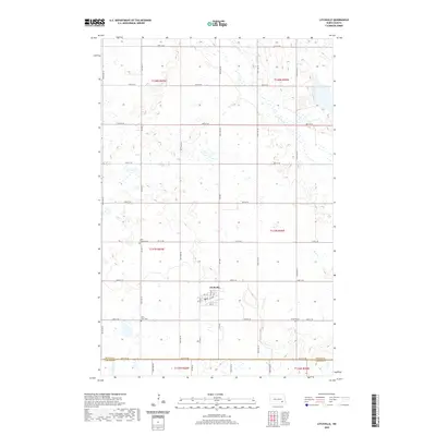 2020 Litchville2020 Print · USGSCovers Prairie Township, including Litchville, Skandia Township, and other nearby areas
 - 2020 Map of Marion NE, 2020 Print
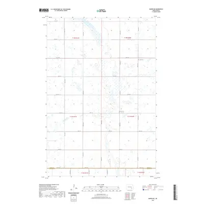 2020 Marion NE2020 Print · USGSCovers Prairie Township, including Meadow Lake Township, Svea Township, and other nearby areas
 - 2020 Map of Litchville SW, 2020 Print
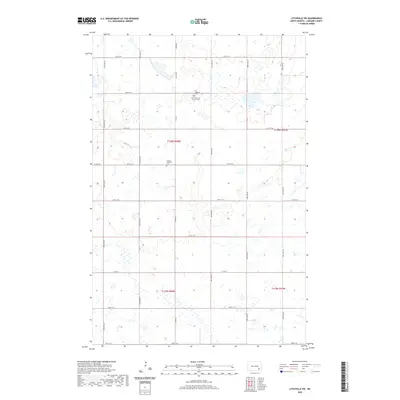 2020 Litchville SW2020 Print · USGSCovers Prairie Township, including Black Loam Township, Gladstone Township, and other nearby areas
 - 2020 Map of Marion, 2020 Print
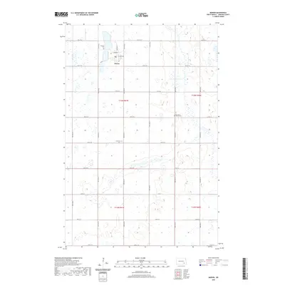 2020 Marion2020 Print · USGSCovers Prairie Township, including Marion, Gladstone Township, and other nearby areas
 - 2024 Map of Litchville SW, 2024 Print
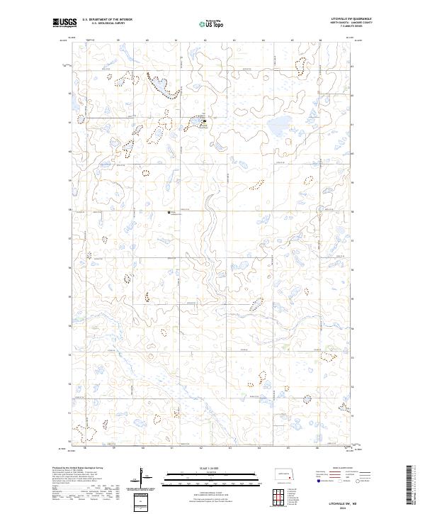 2024 Litchville SW2024 Print · USGSLaMoure County in the early twenty-first century remains a landscape of prairie potholes and steady rural traditions. Genealogists and historians can locate family sites near the First Reformed Church Cem or trace the boundaries of the Lamoure County Waterfowl Production Area.
 - 2024 Map of Litchville, 2024 Print
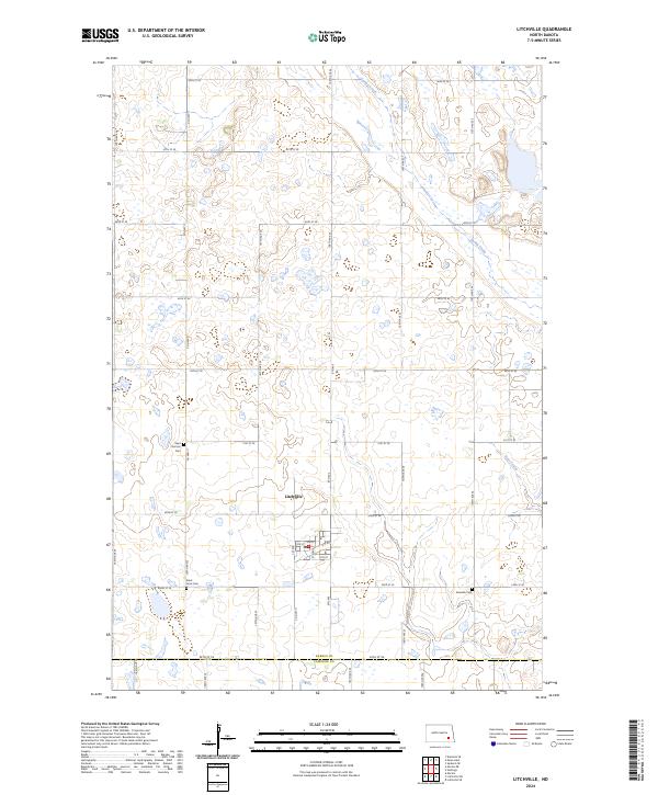 2024 Litchville2024 Print · USGSThe rural landscape around Barnes County is documented here in the modern era, centered on the settlement of Litchville. Genealogists and local researchers can locate family burial plots at the Saint Thomas Cem, Saint Anns Cem, or the Swedish Cem.
 - 2024 Map of Marion NE, 2024 Print
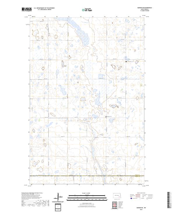 2024 Marion NE2024 Print · USGSEastern North Dakota at the dawn of the 2020s shows a landscape of precision-gridded section roads and vital prairie wetlands. Genealogists and local historians can locate early family burial sites at Swedish Cem and Bethlehem Cem near the Barnes County line.
 - 2024 Map of Marion, 2024 Print
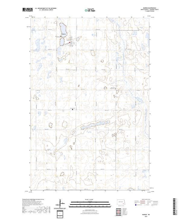 2024 Marion2024 Print · USGSThe town of Marion and its surrounding wetlands are detailed in this contemporary survey of southeastern North Dakota. Genealogists can locate family landmarks like Lakeview Cem and Emmanuel Cem while tracing the rural road network.
End of results
Showing maps 1-8 of 8
Top cities near Prairie Township
- LaMoure historical maps
- Litchville historical maps
- Marion historical maps
- Verona historical maps
- Grand Rapids historical maps
Frequently asked questions
- What are the different types of historical maps available for Prairie Township?
- What is the oldest map of Prairie Township?
- Where can I purchase historical maps of Prairie Township for my home or office?
- Where can I download high-res historical maps of Prairie Township?
- Are there historical topographic maps available for Prairie Township?
- Is there historical aerial imagery available for Prairie Township?
- Where are historical maps of Prairie Township sourced from?