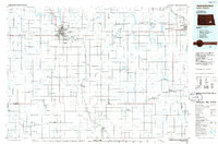
Old Maps of Sheridan Township, North Dakota for Hiking & Exploration
Hike through history with 28 historic maps of Sheridan Township. Explore old trails, ghost towns, and forgotten backroads — perfect for outdoor adventurers and local explorers.
- Rediscover forgotten places: Map out old mining camps, roads, and footpaths that no longer exist on modern maps.
- Layer with modern tools: Combine with LiDAR or satellite views to plan hikes through historical terrain.
- Made for exploration: Popular among hikers, overlanders, and local history lovers.
Use these maps to find adventure and explore the hidden past of Sheridan Township.
Sheridan Township, ND maps
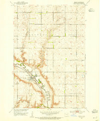
(28)- 1897 Map of Eckelson
 1897 Eckelson1897 Print · USGSEastern North Dakota in the late nineteenth century was a land defined by the iron rail and a network of glacial lakes. Genealogists can trace early homesteads and rail stops near Valley City, Sanborn, and the isolated post office at Svea.3 unique versions available
 - 1952 Map of Dickey, 1954 Print
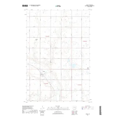
 1952 Dickey1954 Print · USGSThe James River valley and the town of Dickey are captured here in the early fifties during a period of Missouri River Basin development. Researchers can trace the Northern Pacific rail line, locate School No 2, and explore the grounds of the Dickey Cem.
 - 1953 Map of Jamestown
 1953 Jamestown1953 Print · USGSSoutheastern North Dakota was a thriving rail and agricultural corridor in the early fifties, anchored by the James River. Researchers can trace the footprints of institutional landmarks like the North Dakota State Hospital and historic sites such as Whitestone Hill Battlefield Park.3 unique versions available
 - 1956 Map of Jamestown
 1956 Jamestown1956 Print · USGSThe James River valley and the vast alkali lake country of south-central North Dakota are captured here in the mid-fifties. Genealogists can trace family farms across several counties, locating small rail stops like Medberry and monuments like Whitestone Hill Battlefield Park.
 - 1970 Map of Marion NE, 1973 Print
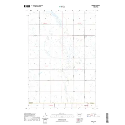
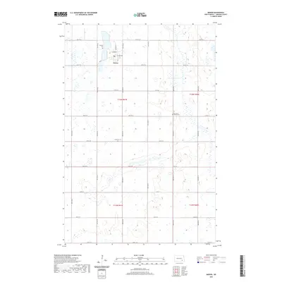
 1970 Marion NE1973 Print · USGSThe North Dakota prairie along the Barnes and La Moure county line is captured here in the early seventies as a grid of family farms and rail corridors. Genealogists and local historians can trace legacy sites like Swedish Cem, Bethlehem Cem, and the tracks of the Burlington Northern.
 - 1970 Map of Marion NW, 1973 Print
 1970 Marion NW1973 Print · USGSThe rural prairie landscape at the tri-county corner of Stutsman, Barnes, and La Moure counties appears here in the early seventies. Genealogists and local historians can locate North Marion Ch, the neighboring Cem, and rural sections in Greenland and Saratoga.
 - 1970 Map of Marion, 1973 Print
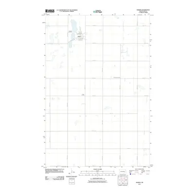
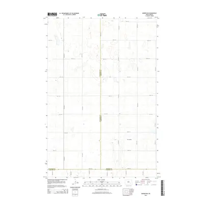
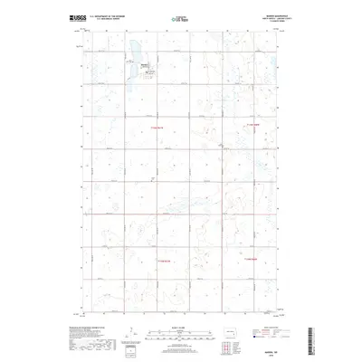
 1970 Marion1973 Print · USGSThe town of Marion and its surrounding rail junctions are captured here during the 1970s. Genealogists can locate family sites across three townships and trace landmarks like Lake View Cem, Grace Cem, and the local Gravel Pit.
 - 1986 Map of Jamestown
 1986 Jamestown1986 Print · USGSThe eastern North Dakota prairie comes into focus in the mid-eighties, centered on the rail and river hubs of Jamestown and Valley City. You can trace the Burlington Northern line through historic stops like Eckelson, Sanborn, and Spiritwood while exploring vast wildlife refuges and local landmarks.2 unique versions available
 - 2011 Map of Dickey, 2011 Print
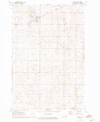
 2011 Dickey2011 Print · USGSCovers Sheridan Township, including Dickey, Roscoe Township, and other nearby areas
 - 2011 Map of Marion NE, 2011 Print
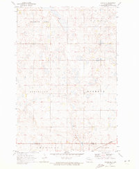
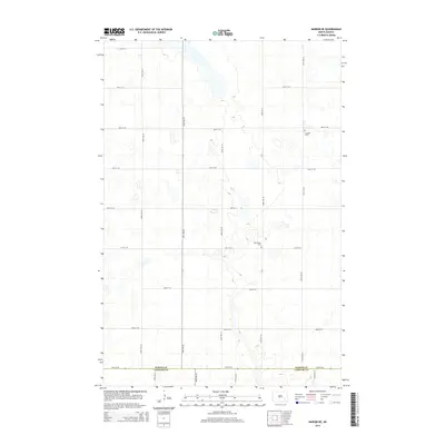
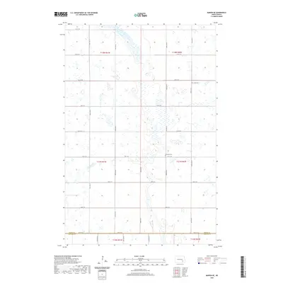
 2011 Marion NE2011 Print · USGSCovers Sheridan Township, including Meadow Lake Township, Svea Township, and other nearby areas
 - 2011 Map of Marion NW, 2011 Print
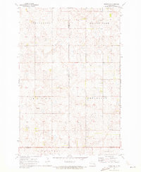
 2011 Marion NW2011 Print · USGSCovers Sheridan Township, including Meadow Lake Township, Greenland Township, and other nearby areas
 - 2011 Map of Marion, 2011 Print
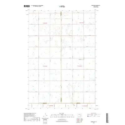
 2011 Marion2011 Print · USGSCovers Sheridan Township, including Marion, Prairie Township, and other nearby areas
 - 2014 Map of Marion, 2014 Print
 2014 Marion2014 Print · USGSCovers Sheridan Township, including Marion, Prairie Township, and other nearby areas
 - 2014 Map of Dickey, 2014 Print
 2014 Dickey2014 Print · USGSCovers Sheridan Township, including Dickey, Roscoe Township, and other nearby areas
 - 2014 Map of Marion NE, 2014 Print
 2014 Marion NE2014 Print · USGSCovers Sheridan Township, including Meadow Lake Township, Svea Township, and other nearby areas
 - 2014 Map of Marion NW, 2014 Print
 2014 Marion NW2014 Print · USGSCovers Sheridan Township, including Meadow Lake Township, Greenland Township, and other nearby areas
 - 2017 Map of Dickey, 2017 Print
 2017 Dickey2017 Print · USGSCovers Sheridan Township, including Dickey, Roscoe Township, and other nearby areas
 - 2018 Map of Marion NE, 2018 Print
 2018 Marion NE2018 Print · USGSCovers Sheridan Township, including Meadow Lake Township, Svea Township, and other nearby areas
 - 2018 Map of Marion, 2018 Print
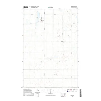
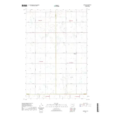
 2018 Marion2018 Print · USGSCovers Sheridan Township, including Marion, Prairie Township, and other nearby areas
 - 2018 Map of Marion NW, 2018 Print
 2018 Marion NW2018 Print · USGSCovers Sheridan Township, including Meadow Lake Township, Greenland Township, and other nearby areas
 - 2020 Map of Marion NE, 2020 Print
 2020 Marion NE2020 Print · USGSCovers Sheridan Township, including Meadow Lake Township, Svea Township, and other nearby areas
 - 2020 Map of Marion NW, 2020 Print
 2020 Marion NW2020 Print · USGSCovers Sheridan Township, including Meadow Lake Township, Greenland Township, and other nearby areas
 - 2020 Map of Dickey, 2020 Print
 2020 Dickey2020 Print · USGSCovers Sheridan Township, including Dickey, Roscoe Township, and other nearby areas
 - 2020 Map of Marion, 2020 Print
 2020 Marion2020 Print · USGSCovers Sheridan Township, including Marion, Prairie Township, and other nearby areas
 - 2024 Map of Dickey, 2024 Print
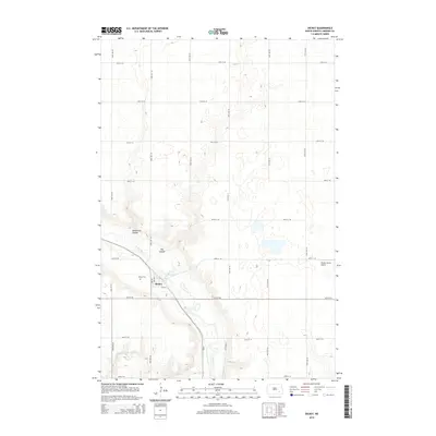
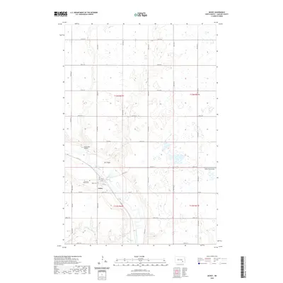
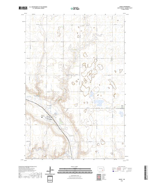 2024 Dickey2024 Print · USGSThe small town of Dickey is captured in this contemporary survey of southeastern North Dakota. Family historians can locate specific sites like the Assumption Catholic Cem or trace the winding waters of the James River and Bone-Hill Creek.
Showing maps 1-25 of 28
Top cities near Sheridan Township
- LaMoure historical maps
- Litchville historical maps
- Ypsilanti historical maps
- Marion historical maps
- Adrian Township historical maps
- Grand Rapids historical maps
See more
Frequently asked questions
- What are the different types of historical maps available for Sheridan Township?
- What is the oldest map of Sheridan Township?
- Where can I purchase historical maps of Sheridan Township for my home or office?
- Where can I download high-res historical maps of Sheridan Township?
- Are there historical topographic maps available for Sheridan Township?
- Is there historical aerial imagery available for Sheridan Township?
- Where are historical maps of Sheridan Township sourced from?