1970s Maps of Logan County, North Dakota
Explore 6 historic maps of Logan County from the 1970s. These maps offer a rare glimpse into what life looked like during the 1970s — showing old roads, neighborhoods, homes, and landmarks that have changed or disappeared over time.
Whether you're researching your family's past, planning a metal detecting trip, or studying how Logan County's landscape evolved across the 1970s, these high-resolution maps are a powerful tool for exploring the history of this region.
- Focus on a specific era: All maps on this page are from the 1970s, giving you a focused view of this time period.
- See what’s changed: Compare century-old streets, trails, and buildings to today's modern landscape using overlays and satellite layers.
- Research with precision: Use these maps for genealogy, historical research, land use analysis, or educational projects.
- View, download, or print: Maps are fully viewable online in high resolution, and can be downloaded or printed for your own records.
Start exploring Logan County's history through authentic maps from the 1970s. This is your window into the past.
Logan County, ND maps
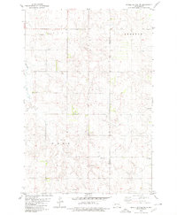
(6)- 1975 Map of Kintyre, 1978 Print
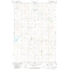 1975 Kintyre1978 Print · USGSThe rural prairie landscape surrounding Kintyre is captured here during the mid-seventies, showing the vital role of the railroad and land management. Researchers can trace the Soo Line tracks through town or locate the National Waterfowl Production Area and Stink Lake.
 - 1979 Map of Schell Buttes, 1980 Print
 1979 Schell Buttes1980 Print · USGSThe high plains of Logan and McIntosh Counties are captured here in the late 1970s, showing a landscape of working ranches and prairie drainages. Genealogists and local historians can locate St Anthonys Cem and the distinctive Schell Buttes.
 - 1979 Map of Schell Buttes SW, 1980 Print
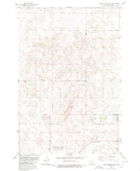 1979 Schell Buttes SW1980 Print · USGSNorth Dakota's rural heartland is captured here in the late seventies, showing the intersection of three counties and the Flickertail National Wildlife Refuge. Trace local history through markers like St Joseph Cem and St Michaels Ch.
 - 1979 Map of Kintyre NE, 1980 Print
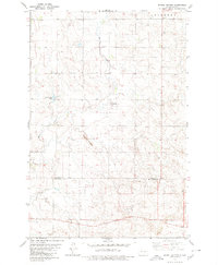
 1979 Kintyre NE1980 Print · USGSKidder and Logan counties meet in this late 1970s survey of the prairie townships. Local researchers can trace family landmarks like Liberty Cem, the central Townhall, and the expansive Dawson State Game Management Area.
 - 1979 Map of Schell Buttes NW, 1980 Print
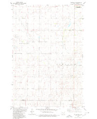
 1979 Schell Buttes NW1980 Print · USGSEmmons and Logan counties are documented here in the late seventies, showing the township borders of Tell and Kroeber. Researchers can trace old family roots through sites like Tell Cem, St Boniface Cem, and the headwaters of Finnish Cr.
 - 1979 Map of McKenna Lake South, 1980 Print
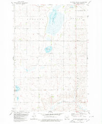 1979 McKenna Lake South1980 Print · USGSLogan County’s glacial prairie and farmsteads are detailed in this late-seventies survey of the area south of Napoleon. Genealogists and local historians can trace family land in Kroeber or Starkey, and locate landmarks like St Boniface Ch.
End of results
Showing maps 1-6 of 6
Top cities of Logan County
Frequently asked questions
- What are the different types of historical maps available for Logan County?
- What is the oldest map of Logan County?
- Where can I purchase historical maps of Logan County for my home or office?
- Where can I download high-res historical maps of Logan County?
- Are there historical topographic maps available for Logan County?
- Is there historical aerial imagery available for Logan County?
- Where are historical maps of Logan County sourced from?