Old Maps of Venturia, North Dakota for Hiking & Exploration
Hike through history with 9 historic maps of Venturia. Explore old trails, ghost towns, and forgotten backroads — perfect for outdoor adventurers and local explorers.
- Rediscover forgotten places: Map out old mining camps, roads, and footpaths that no longer exist on modern maps.
- Layer with modern tools: Combine with LiDAR or satellite views to plan hikes through historical terrain.
- Made for exploration: Popular among hikers, overlanders, and local history lovers.
Use these maps to find adventure and explore the hidden past of Venturia.
Venturia, ND maps
(9)- 1954 Map of Aberdeen, 1964 Print
 1954 Aberdeen1964 Print · USGSNortheastern South Dakota in the mid-fifties remains a world of rail-dependent prairie towns and sweeping waterfowl refuges. Genealogists can trace family roots through settlements like Eureka and Ipswich or locate rural landmarks near Richmond Lake.2 unique versions available
 - 1956 Map of Aberdeen
 1956 Aberdeen1956 Print · USGSUpper South Dakota during the mid-fifties remains a landscape of rail-connected farming towns and expansive glacial lake basins. Genealogists and historians can trace the paths of the Minneapolis and St Louis railroad through Gettysburg or locate vanished stops near Elm Lake and Richmond Lake.
 - 1978 Map of Venturia, 1979 Print
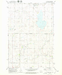 1978 Venturia1979 Print · USGSThe North Dakota and South Dakota borderlands are captured here in the late seventies, showing the rail-aligned town of Venturia. Genealogists can trace family heritage through a remarkable concentration of local burial sites, including Baptist Cem, Lutheran Cem, and Friedens Cem.
 - 1985 Map of Eureka, 1986 Print
 1985 Eureka1986 Print · USGSThe northern plains of the mid-eighties come alive in this survey of the border country between South Dakota and North Dakota. Researchers can trace the rail-side growth of Eureka and Hosmer or locate local landmarks like the Plainview Colony and Lake Hiddenwood State Park.3 unique versions available
 - 2011 Map of Venturia, 2011 Print
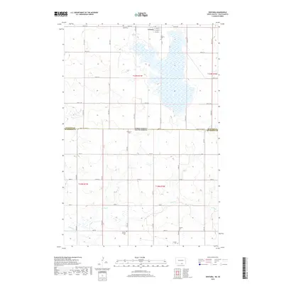
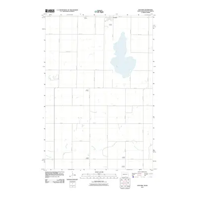 2011 Venturia2011 Print · USGSCovers Venturia, including McIntosh County, McPherson County, and other nearby areas
 - 2014 Map of Venturia, 2014 Print
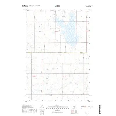
 2014 Venturia2014 Print · USGSCovers Venturia, including McIntosh County, McPherson County, and other nearby areas
 - 2018 Map of Venturia, 2018 Print
 2018 Venturia2018 Print · USGSCovers Venturia, including McIntosh County, McPherson County, and other nearby areas
 - 2020 Map of Venturia, 2020 Print
 2020 Venturia2020 Print · USGSCovers Venturia, including McIntosh County, McPherson County, and other nearby areas
 - 2024 Map of Venturia, 2024 Print
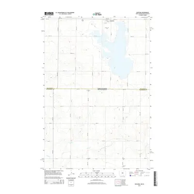
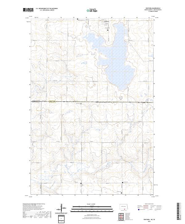 2024 Venturia2024 Print · USGSThe North Dakota and South Dakota borderlands come into focus in this contemporary survey of the McIntosh County prairie. Researchers can trace the heritage of local families through numerous rural burial sites like Zion Lutheran Cem, Bertsch Cem, and the village of Venturia.
End of results
Showing maps 1-9 of 9
Top cities near Venturia
Frequently asked questions
- What are the different types of historical maps available for Venturia?
- What is the oldest map of Venturia?
- Where can I purchase historical maps of Venturia for my home or office?
- Where can I download high-res historical maps of Venturia?
- Are there historical topographic maps available for Venturia?
- Is there historical aerial imagery available for Venturia?
- Where are historical maps of Venturia sourced from?