Old Maps of Cartwright, North Dakota for Metal Detecting
Plan your next treasure hunt with 10 historic maps of Cartwright. Find old homesites, ghost towns, trails, and gathering spots that may be lost to time — perfect for identifying promising metal detecting locations.
- Locate forgotten sites: Uncover places like long-lost settlements, abandoned rail lines, or gathering spots.
- Plan better hunts: Use map overlays combined with LiDAR or satellite views to narrow in on historically rich areas.
- Made for detectorists: Thousands of hobbyists use these maps to discover relics, coins, and hidden history.
Use these historic maps to boost your research and find new opportunities beneath the surface of Cartwright.
Cartwright, ND maps
(10)- 1953 Map of Watford City, 1968 Print
 1953 Watford City1968 Print · USGSNorth Dakota's badlands and the Missouri River basin are captured here during the 1950s and 60s as the Garrison Dam changed the landscape. Researchers can trace old rail lines like the Great Northern or find rural outposts such as Grassy Butte and Halliday.3 unique versions available
 - 1957 Map of Watford City
 1957 Watford City1957 Print · USGSWestern North Dakota's landscape is captured here during the mid-fifties as the Missouri River valley undergoes massive change following the creation of Garrison Reservoir. Genealogists and historians can trace dozens of rural schools like Divide School and early settlements such as Arnegard and Grassy Butte.
 - 1967 Map of Watford City
 1967 Watford City1967 Print · USGSWestern North Dakota is captured during a period of landscape transformation as the Missouri River valley was reshaped by the new Garrison Reservoir. Genealogists and local historians can trace the foundations of Watford City, find the Elkhorn Ranch Site, or locate rural landmarks like Ziner Butte and Grassy Butte.
 - 1972 Map of Cartwright, 1976 Print
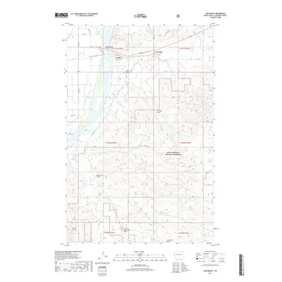
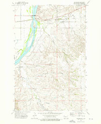 1972 Cartwright1976 Print · USGSMcKenzie County was a landscape of deep coulees and river-side rail lines in the early seventies. Genealogists and historians can trace the Burlington Northern route through Cartwright and locate rural landmarks like the Mule Creek Windmill and Sundheim Park.
 - 1997 Map of Cartwright, 2001 Print
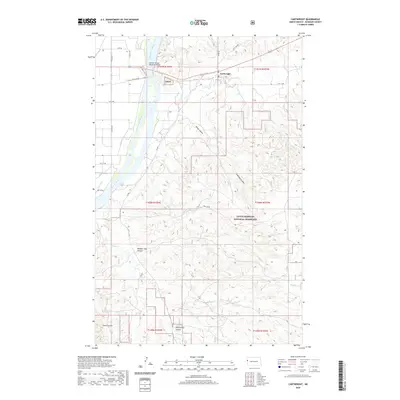
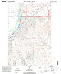 1997 Cartwright2001 Print · USGSMcKenzie County's river-fed borderland is captured here in the late nineties, where the Yellowstone River meets the high grassland. Researchers can locate family landmarks like the H Iszler Ranch, the town of Cartwright, and the Hjalmer Nelson Memorial Bridge.
 - 2011 Map of Cartwright, 2011 Print
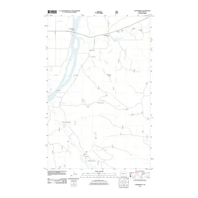 2011 Cartwright2011 Print · USGSCovers Cartwright, including McKenzie County, United States, and other nearby areas
 - 2014 Map of Cartwright, 2014 Print
 2014 Cartwright2014 Print · USGSCovers Cartwright, including McKenzie County, United States, and other nearby areas
 - 2017 Map of Cartwright, 2017 Print
 2017 Cartwright2017 Print · USGSCovers Cartwright, including McKenzie County, United States, and other nearby areas
 - 2020 Map of Cartwright, 2020 Print
 2020 Cartwright2020 Print · USGSCovers Cartwright, including McKenzie County, United States, and other nearby areas
 - 2024 Map of Cartwright, 2024 Print
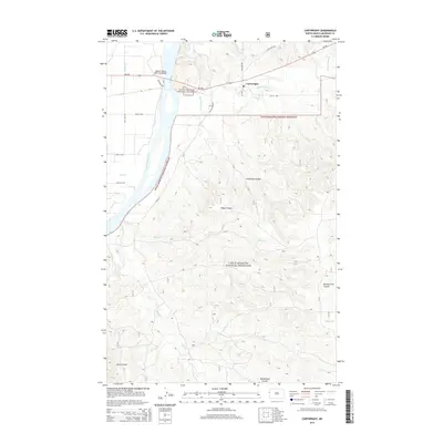
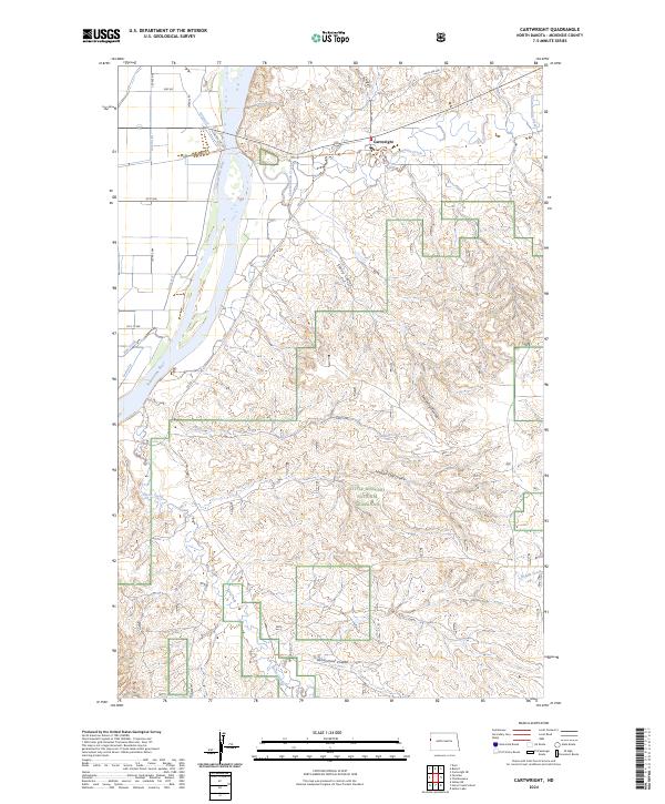 2024 Cartwright2024 Print · USGSMcKenzie County's river-carved plains come into focus in this recent survey of the North Dakota borderlands. Researchers can trace the drainage of the Yellowstone River and explore the rural road network connecting Cartwright to Sheep Coulee and Mule Creek.
End of results
Showing maps 1-10 of 10
Top cities near Cartwright
Frequently asked questions
- What are the different types of historical maps available for Cartwright?
- What is the oldest map of Cartwright?
- Where can I purchase historical maps of Cartwright for my home or office?
- Where can I download high-res historical maps of Cartwright?
- Are there historical topographic maps available for Cartwright?
- Is there historical aerial imagery available for Cartwright?
- Where are historical maps of Cartwright sourced from?