Old Maps of Schafer, North Dakota for Genealogy
Trace your family roots with 10 historic maps of Schafer. These high-res maps reveal old neighborhoods, homesites, landmarks, and streets — helping you uncover where your ancestors lived and how the area evolved over time.
- Explore historic neighborhoods: Identify where your relatives may have lived in the 1800s or 1900s.
- Compare maps over time: Trace the changes in streets, buildings, and landmarks for multi-generational research.
- Perfect for genealogy & ancestry research: Used by family historians and researchers to map out lineage and migration.
These maps are an incredible resource for exploring your personal connection to Schafer's past.
Schafer, ND maps
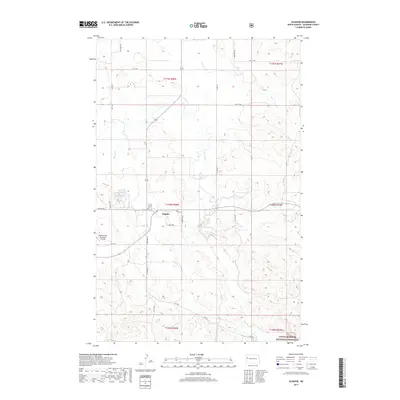
(10)- 1953 Map of Watford City, 1968 Print
 1953 Watford City1968 Print · USGSNorth Dakota's badlands and the Missouri River basin are captured here during the 1950s and 60s as the Garrison Dam changed the landscape. Researchers can trace old rail lines like the Great Northern or find rural outposts such as Grassy Butte and Halliday.3 unique versions available
 - 1957 Map of Watford City
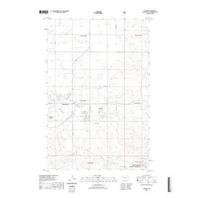
 1957 Watford City1957 Print · USGSWestern North Dakota's landscape is captured here during the mid-fifties as the Missouri River valley undergoes massive change following the creation of Garrison Reservoir. Genealogists and historians can trace dozens of rural schools like Divide School and early settlements such as Arnegard and Grassy Butte.
 - 1967 Map of Watford City
 1967 Watford City1967 Print · USGSWestern North Dakota is captured during a period of landscape transformation as the Missouri River valley was reshaped by the new Garrison Reservoir. Genealogists and local historians can trace the foundations of Watford City, find the Elkhorn Ranch Site, or locate rural landmarks like Ziner Butte and Grassy Butte.
 - 1978 Map of Schafer, 1979 Print
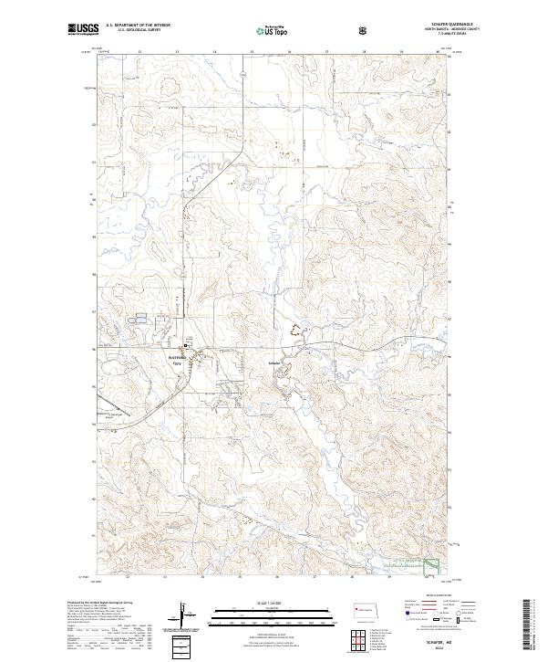
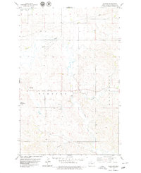 1978 Schafer1979 Print · USGSMcKenzie County during the late seventies reveals a landscape of winding creek beds and expanding municipal infrastructure. Researchers can trace the layout of Schafer, locate the Schafer Cem, and see early footprints of the Watford City Golf Course.
 - 1997 Map of Schafer, 2001 Print
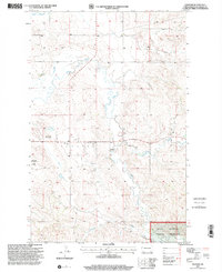 1997 Schafer2001 Print · USGSMcKenzie County's high plains are captured here in the late nineties, showing a landscape defined by the intersection of ranching and early energy infrastructure. Researchers can locate the Schafer Cem, trace the remote 4WD trails, and explore the boundaries of the Little Missouri National Grassland.
 - 2011 Map of Schafer, 2011 Print
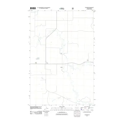 2011 Schafer2011 Print · USGSCovers Schafer, including Watford City, McKenzie County, and other nearby areas
 - 2014 Map of Schafer, 2014 Print
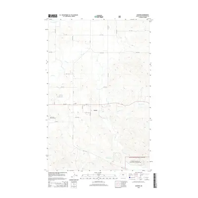 2014 Schafer2014 Print · USGSCovers Schafer, including Watford City, McKenzie County, and other nearby areas
 - 2017 Map of Schafer, 2017 Print
 2017 Schafer2017 Print · USGSCovers Schafer, including Watford City, McKenzie County, and other nearby areas
 - 2020 Map of Schafer, 2020 Print
 2020 Schafer2020 Print · USGSCovers Schafer, including Watford City, McKenzie County, and other nearby areas
 - 2024 Map of Schafer, 2024 Print
 2024 Schafer2024 Print · USGSMcKenzie County's evolving landscape is visible here in the 2020s, centered on the expansion of Watford City and the rural reaches of Schafer. Researchers can trace the layout of modern neighborhoods alongside traditional sites like Schafer Cem and the Little Missouri National Grassland.
End of results
Showing maps 1-10 of 10
Top cities near Schafer
Frequently asked questions
- What are the different types of historical maps available for Schafer?
- What is the oldest map of Schafer?
- Where can I purchase historical maps of Schafer for my home or office?
- Where can I download high-res historical maps of Schafer?
- Are there historical topographic maps available for Schafer?
- Is there historical aerial imagery available for Schafer?
- Where are historical maps of Schafer sourced from?