Old Maps of Washburn, North Dakota for Genealogy
Trace your family roots with 9 historic maps of Washburn. These high-res maps reveal old neighborhoods, homesites, landmarks, and streets — helping you uncover where your ancestors lived and how the area evolved over time.
- Explore historic neighborhoods: Identify where your relatives may have lived in the 1800s or 1900s.
- Compare maps over time: Trace the changes in streets, buildings, and landmarks for multi-generational research.
- Perfect for genealogy & ancestry research: Used by family historians and researchers to map out lineage and migration.
These maps are an incredible resource for exploring your personal connection to Washburn's past.
Washburn, ND maps
(9)- 1949 Map of Washburn
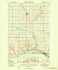 1949 Washburn1949 Print · USGSMcLean County is captured here in the late 1940s as the river economy met the railroad age along the Missouri River. Family historians can trace numerous rural school sites like Weller School No 1 and the path of the Lewis and Clark Trail.2 unique versions available
 - 1954 Map of McClusky, 1968 Print
 1954 McClusky1968 Print · USGSCentral North Dakota was undergoing a profound transformation in the fifties as the newly formed Lake Sakakawea reshaped the Missouri River valley. Genealogists and historians can trace rail-town development along the Soo Line and locate historic markers like Garrison Dam or the Lewis and Clark Trail.3 unique versions available
 - 1958 Map of McClusky
 1958 McClusky1958 Print · USGSCentral North Dakota was undergoing a profound change in the late fifties as the Garrison Reservoir filled behind its massive new dam. Trace the early layout of Riverdale, the Lewis and Clark Trail, and the vanishing rail stops of the Northern Pacific.
 - 1961 Map of Washburn, 1963 Print
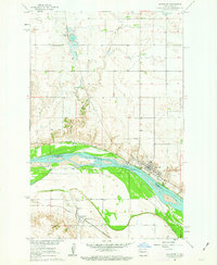 1961 Washburn1963 Print · USGSWashburn and the Missouri River bottoms are captured here in the early sixties as the regional rail and river economy evolved. Genealogists and local historians can trace family roots through the Riverview Cem, Hensler, and the Buffalo Lake Sch No 2.3 unique versions available
 - 2011 Map of Washburn, 2011 Print
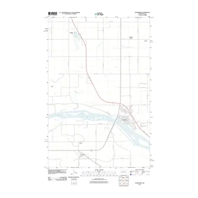 2011 Washburn2011 Print · USGSCovers Washburn, including Hensler, Falkirk, and other nearby areas
 - 2014 Map of Washburn, 2014 Print
 2014 Washburn2014 Print · USGSCovers Washburn, including Hensler, Falkirk, and other nearby areas
 - 2018 Map of Washburn, 2018 Print
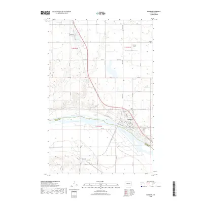 2018 Washburn2018 Print · USGSCovers Washburn, including Hensler, Falkirk, and other nearby areas
 - 2020 Map of Washburn, 2020 Print
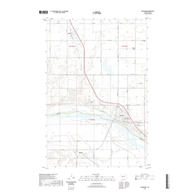 2020 Washburn2020 Print · USGSCovers Washburn, including Hensler, Falkirk, and other nearby areas
 - 2024 Map of Washburn, 2024 Print
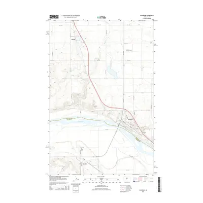
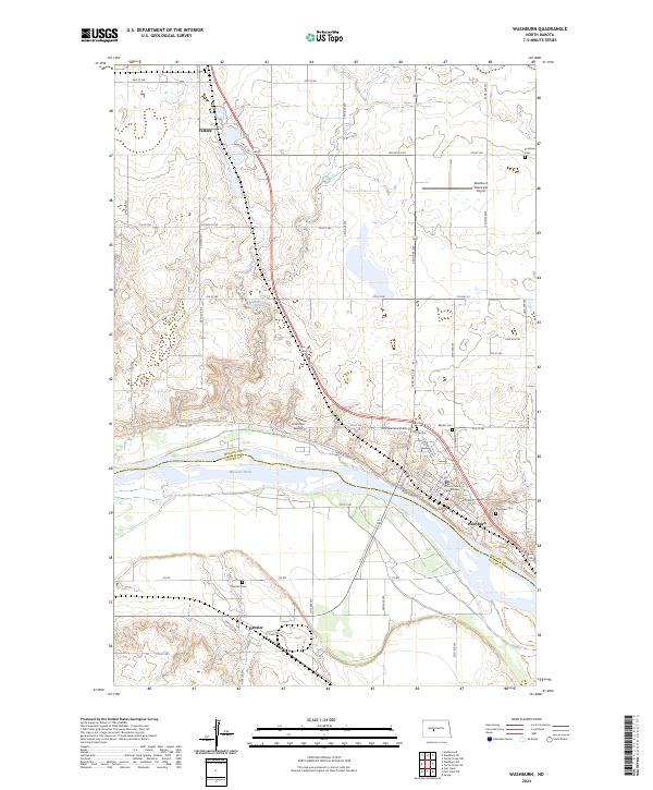 2024 Washburn2024 Print · USGSWashburn and the Missouri River valley are captured here in the early twenty-first century as the region maintains its role as a county center. Genealogists can locate family sites at Riverview Cem, Hensler Cem, and the Zion German Lutheran Cem.
End of results
Showing maps 1-9 of 9
Top cities near Washburn
Frequently asked questions
- What are the different types of historical maps available for Washburn?
- What is the oldest map of Washburn?
- Where can I purchase historical maps of Washburn for my home or office?
- Where can I download high-res historical maps of Washburn?
- Are there historical topographic maps available for Washburn?
- Is there historical aerial imagery available for Washburn?
- Where are historical maps of Washburn sourced from?