Old Maps of Zap, North Dakota for Genealogy
Trace your family roots with 8 historic maps of Zap. These high-res maps reveal old neighborhoods, homesites, landmarks, and streets — helping you uncover where your ancestors lived and how the area evolved over time.
- Explore historic neighborhoods: Identify where your relatives may have lived in the 1800s or 1900s.
- Compare maps over time: Trace the changes in streets, buildings, and landmarks for multi-generational research.
- Perfect for genealogy & ancestry research: Used by family historians and researchers to map out lineage and migration.
These maps are an incredible resource for exploring your personal connection to Zap's past.
Zap, ND maps
(8)- 1954 Map of McClusky, 1968 Print
 1954 McClusky1968 Print · USGSCentral North Dakota was undergoing a profound transformation in the fifties as the newly formed Lake Sakakawea reshaped the Missouri River valley. Genealogists and historians can trace rail-town development along the Soo Line and locate historic markers like Garrison Dam or the Lewis and Clark Trail.3 unique versions available
 - 1958 Map of McClusky
 1958 McClusky1958 Print · USGSCentral North Dakota was undergoing a profound change in the late fifties as the Garrison Reservoir filled behind its massive new dam. Trace the early layout of Riverdale, the Lewis and Clark Trail, and the vanishing rail stops of the Northern Pacific.
 - 1969 Map of Zap, 1971 Print
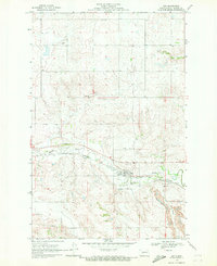 1969 Zap1971 Print · USGSMercer County prairie life is centered on the valley of Spring Creek during the late sixties. Researchers can trace the community footprint of Zap through its local institutions like St Johns Ch and the neighboring industrial Strip Mine.
 - 2011 Map of Zap, 2011 Print
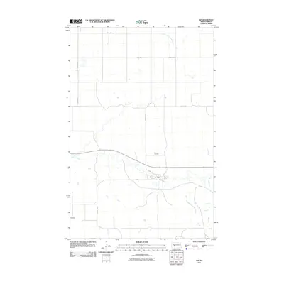 2011 Zap2011 Print · USGSCovers Zap, including Mercer County, United States, and other nearby areas
 - 2014 Map of Zap, 2014 Print
 2014 Zap2014 Print · USGSCovers Zap, including Mercer County, United States, and other nearby areas
 - 2018 Map of Zap, 2018 Print
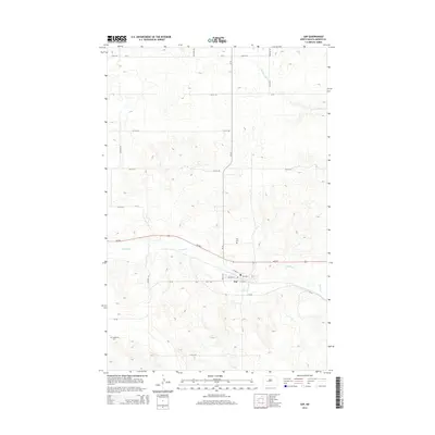
 2018 Zap2018 Print · USGSCovers Zap, including Mercer County, United States, and other nearby areas
 - 2020 Map of Zap, 2020 Print
 2020 Zap2020 Print · USGSCovers Zap, including Mercer County, United States, and other nearby areas
 - 2024 Map of Zap, 2024 Print
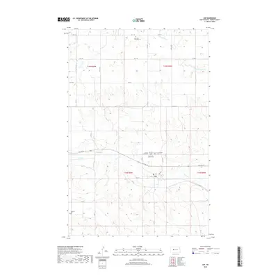
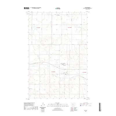
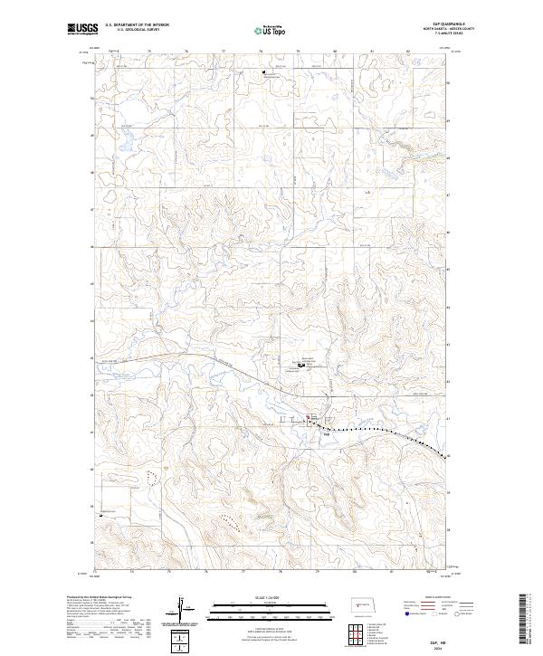 2024 Zap2024 Print · USGSThe town of Zap and the surrounding Mercer County prairie are shown here in the contemporary era. Genealogists can trace local family history through several denominational sites like Saint John's Wittenberg Cem and Peace Congregational Cem.
End of results
Showing maps 1-8 of 8
Top cities near Zap
Frequently asked questions
- What are the different types of historical maps available for Zap?
- What is the oldest map of Zap?
- Where can I purchase historical maps of Zap for my home or office?
- Where can I download high-res historical maps of Zap?
- Are there historical topographic maps available for Zap?
- Is there historical aerial imagery available for Zap?
- Where are historical maps of Zap sourced from?