Old Maps of Tolna, North Dakota for Hiking & Exploration
Hike through history with 12 historic maps of Tolna. Explore old trails, ghost towns, and forgotten backroads — perfect for outdoor adventurers and local explorers.
- Rediscover forgotten places: Map out old mining camps, roads, and footpaths that no longer exist on modern maps.
- Layer with modern tools: Combine with LiDAR or satellite views to plan hikes through historical terrain.
- Made for exploration: Popular among hikers, overlanders, and local history lovers.
Use these maps to find adventure and explore the hidden past of Tolna.
Tolna, ND maps
(12)- 1930 Map of Pekin
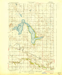 1930 Pekin1930 Print · USGSNelson County's prairie landscape was shaped by the railroad and glacial lakes during the late twenties. Genealogists can locate rural schoolhouses and rail hubs like Pekin and Tolna along the Great Northern tracks and the Sheyenne River.2 unique versions available
 - 1951 Map of Tolna, 1953 Print
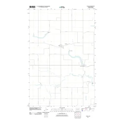
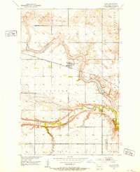 1951 Tolna1953 Print · USGSNelson County settlement and rail infrastructure are captured here in the early fifties as the Missouri River Basin project shaped the land. Genealogists and historians can trace local landmarks like St Marys Cem, School No 2, and the Great Northern line.
 - 1951 Map of Pekin, 1959 Print
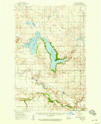 1951 Pekin1959 Print · USGSMid-century Nelson County is defined here by its glacial lakes and the winding Sheyenne River during a period of active water management. Genealogists and local historians can trace the rural school system and find landmarks like St Marys Cem, Tolna, and Pekin along the Great Northern tracks.
 - 1952 Map of New Rockford, 1968 Print
 1952 New Rockford1968 Print · USGSThe North Dakota prairie during the mid-1950s was a landscape of rail-dependent farm towns and vast wildlife refuges. Genealogists and historians can trace the foundations of local communities at Fort Totten Indian Agenc, Concordia Lutheran Church, and the Bowdon Country Church and Cemetery.3 unique versions available
 - 1956 Map of New Rockford
 1956 New Rockford1956 Print · USGSMid-century central North Dakota is captured here as a landscape of prairie rail towns and vast wildlife refuges. Trace family roots at the Bowdon Country Church and Cemetery or locate the old St Michael Mission School and Fort Totten.
 - 1971 Map of New Rockford, 1974 Print
 1971 New Rockford1974 Print · USGSCentral North Dakota was a landscape of wildlife refuges and rail-linked agricultural towns in the early seventies. Genealogists and local historians can trace the development of the Fort Totten Indian Reservation and locate old railway points like Maddock, Hamal, and Kloten.
 - 1985 Map of Stump Lake
 1985 Stump Lake1985 Print · USGSNorth Dakota's lake country in the mid-eighties shows a landscape shaped by the Burlington Northern rail line and tribal lands. Genealogists and historians can locate family sites near Warwick, Tokio, and the Fort Totten Indian Reservation.2 unique versions available
 - 2011 Map of Tolna, 2011 Print
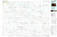
 2011 Tolna2011 Print · USGSCovers Tolna, including Nelson County, United States, and other nearby areas
 - 2014 Map of Tolna, 2014 Print
 2014 Tolna2014 Print · USGSCovers Tolna, including Nelson County, United States, and other nearby areas
 - 2017 Map of Tolna, 2017 Print
 2017 Tolna2017 Print · USGSCovers Tolna, including Nelson County, United States, and other nearby areas
 - 2020 Map of Tolna, 2020 Print
 2020 Tolna2020 Print · USGSCovers Tolna, including Nelson County, United States, and other nearby areas
 - 2024 Map of Tolna, 2024 Print
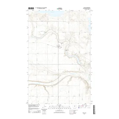
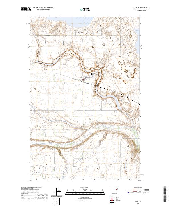 2024 Tolna2024 Print · USGSTolna and the Nelson County prairie are captured in this recent survey, showcasing the area's distinct glacial topography and river valleys. Genealogists and local historians can locate Tolna Cem and Saint Marys Cem or trace the winding Sheyenne River.
End of results
Showing maps 1-12 of 12
Top cities near Tolna
Frequently asked questions
- What are the different types of historical maps available for Tolna?
- What is the oldest map of Tolna?
- Where can I purchase historical maps of Tolna for my home or office?
- Where can I download high-res historical maps of Tolna?
- Are there historical topographic maps available for Tolna?
- Is there historical aerial imagery available for Tolna?
- Where are historical maps of Tolna sourced from?