Old Maps of Leverich, North Dakota for Hiking & Exploration
Hike through history with 9 historic maps of Leverich. Explore old trails, ghost towns, and forgotten backroads — perfect for outdoor adventurers and local explorers.
- Rediscover forgotten places: Map out old mining camps, roads, and footpaths that no longer exist on modern maps.
- Layer with modern tools: Combine with LiDAR or satellite views to plan hikes through historical terrain.
- Made for exploration: Popular among hikers, overlanders, and local history lovers.
Use these maps to find adventure and explore the hidden past of Leverich.
Leverich, ND maps
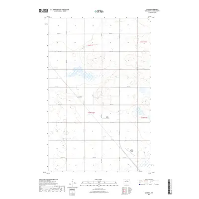
(9)- 1954 Map of Leverich, 1956 Print
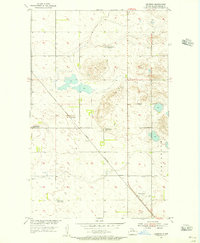 1954 Leverich1956 Print · USGSPierce County farming and transportation are captured here in the mid-fifties, centered on the Great Northern tracks. Genealogists can trace rural education at Hendrickson School No 3 or locate the settlement of Leverich.
 - 1954 Map of Minot, 1964 Print
 1954 Minot1964 Print · USGSNorth Dakota's northern borderlands are captured here in the mid-fifties, showing a landscape defined by the winding Souris River and the rise of the Turtle Mountains. Genealogists can locate family-named sidings like Hurd Siding and Truro Siding alongside the vital Great Northern rail lines.3 unique versions available
 - 1958 Map of Minot
 1958 Minot1958 Print · USGSNorthern North Dakota is shown here during the mid-fifties, dominated by the rail-driven growth of Minot and the surrounding grain-farming prairie. Genealogists can trace family connections to border towns like Westhope or explore the vast reaches of the Turtle Mountains.
 - 1980 Map of Velva
 1980 Velva1980 Print · USGSNorth-central North Dakota comes into focus during the late twentieth century as a landscape of vital wetlands and rail-dependent grain towns. You can trace the Burlington Northern line through Towner or explore the protected prairie potholes of the J Clark Salyer National Wildlife Refuge.
 - 2011 Map of Leverich, 2011 Print
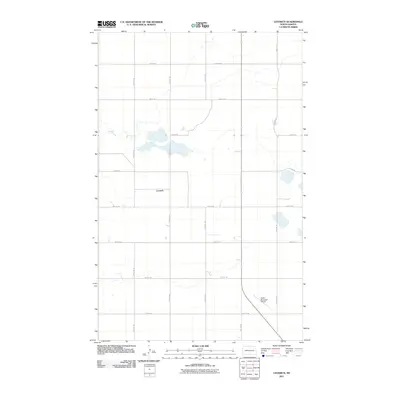 2011 Leverich2011 Print · USGSCovers Leverich, including Pierce County, United States, and other nearby areas
 - 2014 Map of Leverich, 2014 Print
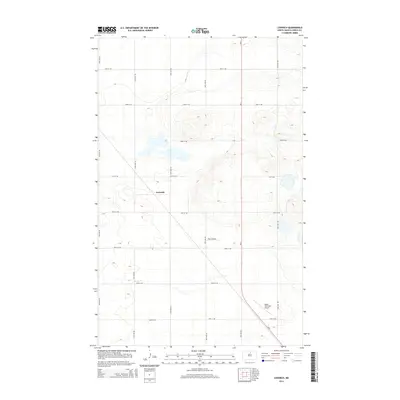 2014 Leverich2014 Print · USGSCovers Leverich, including Pierce County, United States, and other nearby areas
 - 2017 Map of Leverich, 2017 Print
 2017 Leverich2017 Print · USGSCovers Leverich, including Pierce County, United States, and other nearby areas
 - 2020 Map of Leverich, 2020 Print
 2020 Leverich2020 Print · USGSCovers Leverich, including Pierce County, United States, and other nearby areas
 - 2024 Map of Leverich, 2024 Print
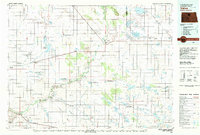
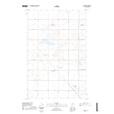
 2024 Leverich2024 Print · USGSPierce County’s prairie landscape is documented here in the early twenty-first century, featuring the small settlement of Leverich. Researchers can trace the layout of local aviation at Rugby Municipal Airport and the expansive Pierce County Waterfowl Production Area.
End of results
Showing maps 1-9 of 9
Top cities near Leverich
Frequently asked questions
- What are the different types of historical maps available for Leverich?
- What is the oldest map of Leverich?
- Where can I purchase historical maps of Leverich for my home or office?
- Where can I download high-res historical maps of Leverich?
- Are there historical topographic maps available for Leverich?
- Is there historical aerial imagery available for Leverich?
- Where are historical maps of Leverich sourced from?