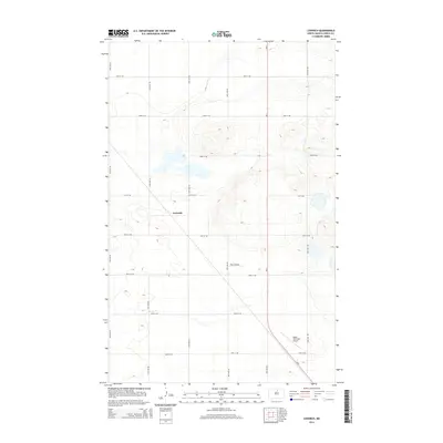
2014 Map of Leverich
USGS Topo · Published 2014About this map
Leverich stands as a primary point of reference in this 2014 survey of North Dakota's central prairie, situated along a prominent diagonal railroad line that cuts across the township grid. This modern topographic record, produced by the U.S. Geological Survey, illustrates the persistent grid of section lines—marked by roads like 25th Ave NE and 74th St NE—that have organized this agricultural landscape for generations. The terrain is characterized by subtle elevation changes and numerous depressions and small wetlands typical of the region's glacial history. While the area is sparsely settled, the presence of these transit corridors and established section roads highlights the enduring infrastructure that supports the local farming economy in Pierce County.
Find a feature on this map
1 named feature on this map. Tap any name to fly to it.
Don’t see what you’re looking for? This feature index may not catch every label — zoom into the map to look around manually.
Map Details
Editions of this 2014 Leverich Map
This is the sole edition of this map. No revisions or reprints were ever made.
Other maps of this area

1953 · Devils Lake
USGS Topo · 1:250,000

1954 · Tunbridge
USGS Topo · 1:24,000

1954 · Overly SE
USGS Topo · 1:24,000

1954 · Barton
USGS Topo · 1:24,000

1954 · Berwick
USGS Topo · 1:24,000

1954 · Round Lake
USGS Topo · 1:24,000

1954 · Rugby NW
USGS Topo · 1:24,000

1954 · Leverich
USGS Topo · 1:24,000

1954 · Minot
USGS Topo · 1:250,000

1955 · Rugby
USGS Topo · 1:24,000