
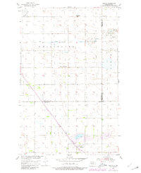
1954 Map of Barton
USGS Topo · Published 1956About this map
The small settlement of Barton anchors the southern portion of this mid-century survey, situated along the line of the Great Northern railroad. This region of the northern Great Plains shows a landscape defined by prairie potholes and a winding drainage system including Willow Creek, Ox Creek, and Wolf Creek. The map documents the rural infrastructure of the era, recording the location of the Pleasant Valley Sch and the site of School No 2 (Abandoned). Spanning the borders of Bottineau, Pierce, and Rolette counties, the map illustrates a sparsely populated agricultural environment where section lines and local roads dictate the human footprint across the terrain.
Find a feature on this map
13 named features on this map. Tap any name to fly to it.
Don’t see what you’re looking for? This feature index may not catch every label — zoom into the map to look around manually.
Map Details
Editions of this 1954 Barton Map
2 editions found
Other maps of this area

1954 · Towner NE
USGS Topo · 1:24,000

1954 · Overly SE
USGS Topo · 1:24,000

1954 · Omemee
USGS Topo · 1:24,000

1954 · Round Lake
USGS Topo · 1:24,000

1954 · Leverich
USGS Topo · 1:24,000

1954 · Willow City
USGS Topo · 1:24,000

1954 · Minot
USGS Topo · 1:250,000

1955 · Fonda
USGS Topo · 1:24,000

1955 · Overly
USGS Topo · 1:24,000

1958 · Minot
USGS Topo · 1:250,000