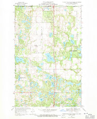
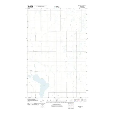
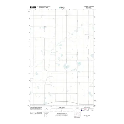
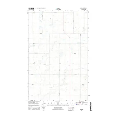
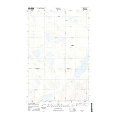
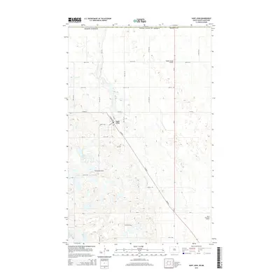
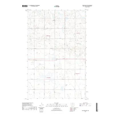
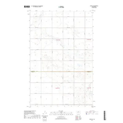
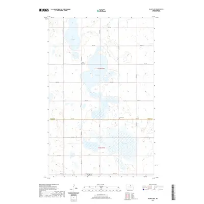
1954 Map of Overly SE
USGS Topo · Published 1956About this map
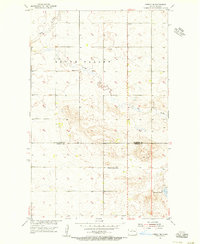
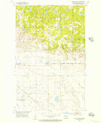
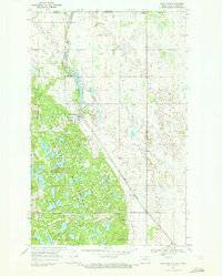
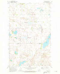
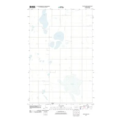
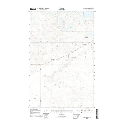
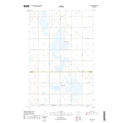
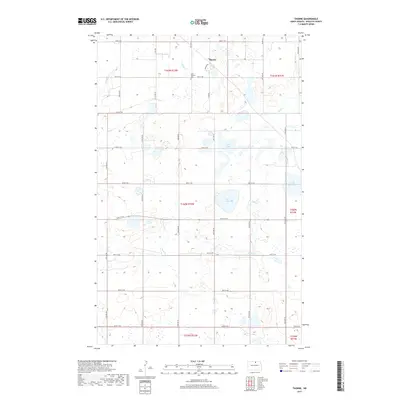
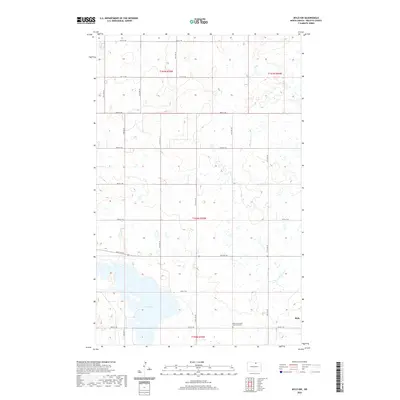
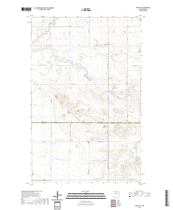
The rolling plains of the South Valley define this mid-century landscape on the border of Rolette and Pierce Counties. This map documents a quiet, rural interior characterized by intermittent waterways and small educational centers like School No 11 and Banner School No 14. The terrain is marked by seasonal drainages including Wolf Creek in the northwest and Ox Creek to the east, which feed into larger water bodies like Gilmore Lake. This 1954 planetable survey preserves the footprint of prairie life during the Missouri River Basin development program, showing the distribution of section-line roads and scattered infrastructure such as the Zion Cem and a lone Gravel Pit that supported local road maintenance. The absence of large towns highlights the decentralized nature of these northern prairie townships at the time.
Find a feature on this map
9 named features on this map. Tap any name to fly to it.
Don’t see what you’re looking for? This feature index may not catch every label — zoom into the map to look around manually.
Map Details
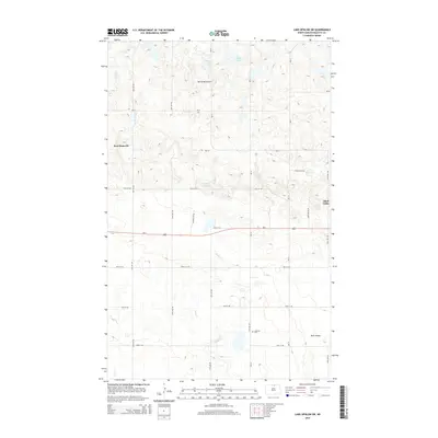
Editions of this 1954 Overly SE Map
This is the sole edition of this map. No revisions or reprints were ever made.
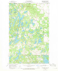
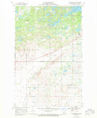
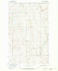
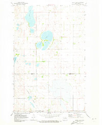
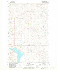
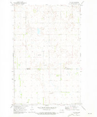
Historical Maps of South Valley Township Through Time
92 maps found
1936 Lake Upsilon
Rolette County, ND
1942 Lake Upsilon
Rolette County, ND
1954 Overly SE
Rolette County, ND
1955 Fonda
Rolette County, ND
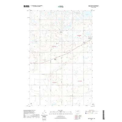
1955 Lake Upsilon SW
Rolette County, ND
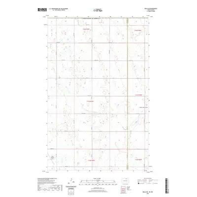
1955 Rolette SW
Rolette County, ND
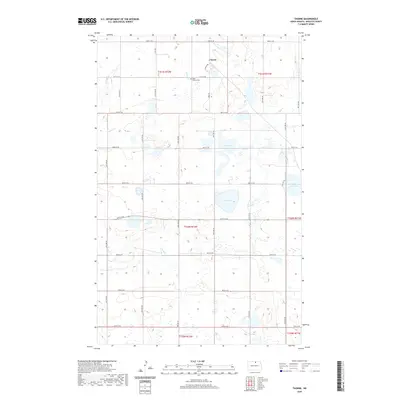
1955 Thorne
Rolette County, ND
1968 Carpenter Lake
Rolette County, ND
1968 International Peace Garden
Rolette County, ND
1968 Lake Upsilon
Rolette County, ND
1968 Lake Upsilon SE
Rolette County, ND
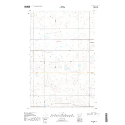
1969 Rolla NE
Rolette County, ND
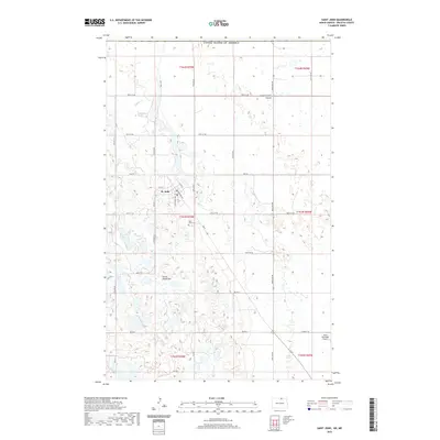
1969 Saint John
Rolette County, ND
1971 Island Lake
Rolette County, ND
1971 Mylo NW
Rolette County, ND
1971 Mylo SE
Rolette County, ND
1971 Nanson
Rolette County, ND
2011 Carpenter Lake
Rolette County, ND
2011 Fonda
Rolette County, ND
2011 International Peace Garden
Rolette County, ND
2011 Island Lake
Rolette County, ND
2011 Lake Upsilon
Rolette County, ND
2011 Lake Upsilon SE
Rolette County, ND
2011 Lake Upsilon SW
Rolette County, ND
2011 Mylo NW
Rolette County, ND
2011 Mylo SE
Rolette County, ND
2011 Nanson
Rolette County, ND
2011 Overly SE
Rolette County, ND
2011 Rolette SW
Rolette County, ND
2011 Rolla NE
Rolette County, ND
2011 Saint John
Rolette County, ND
2011 Thorne
Rolette County, ND

2014 Carpenter Lake
Rolette County, ND
2014 Fonda
Rolette County, ND
2014 International Peace Garden
Rolette County, ND
2014 Island Lake
Rolette County, ND
2014 Lake Upsilon
Rolette County, ND
2014 Lake Upsilon SE
Rolette County, ND
2014 Lake Upsilon SW
Rolette County, ND
2014 Mylo NW
Rolette County, ND
2014 Mylo SE
Rolette County, ND
2014 Nanson
Rolette County, ND
2014 Overly SE
Rolette County, ND
2014 Rolette SW
Rolette County, ND
2014 Rolla NE
Rolette County, ND
2014 Saint John
Rolette County, ND
2014 Thorne
Rolette County, ND
2017 Carpenter Lake
Rolette County, ND
2017 Fonda
Rolette County, ND
2017 International Peace Garden
Rolette County, ND
2017 Island Lake
Rolette County, ND
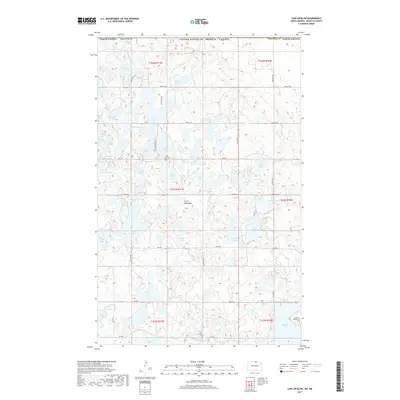
2017 Lake Upsilon
Rolette County, ND
2017 Lake Upsilon SE
Rolette County, ND
2017 Lake Upsilon SW
Rolette County, ND
2017 Mylo NW
Rolette County, ND
2017 Mylo SE
Rolette County, ND
2017 Nanson
Rolette County, ND
2017 Overly SE
Rolette County, ND
2017 Rolette SW
Rolette County, ND
2017 Rolla NE
Rolette County, ND
2017 Saint John
Rolette County, ND
2017 Thorne
Rolette County, ND
2020 Carpenter Lake
Rolette County, ND
2020 Fonda
Rolette County, ND
2020 International Peace Garden
Rolette County, ND
2020 Island Lake
Rolette County, ND
2020 Lake Upsilon
Rolette County, ND
2020 Lake Upsilon SE
Rolette County, ND
2020 Lake Upsilon SW
Rolette County, ND
2020 Mylo NW
Rolette County, ND
2020 Mylo SE
Rolette County, ND
2020 Nanson
Rolette County, ND
2020 Overly SE
Rolette County, ND
2020 Rolette SW
Rolette County, ND
2020 Rolla NE
Rolette County, ND
2020 Saint John
Rolette County, ND
2020 Thorne
Rolette County, ND
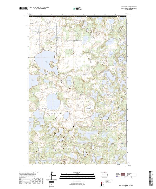
2024 Carpenter Lake
Rolette County, ND
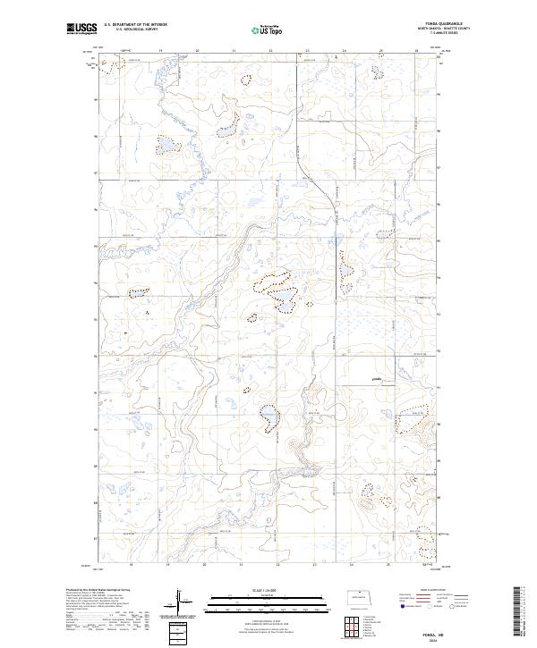
2024 Fonda
Rolette County, ND
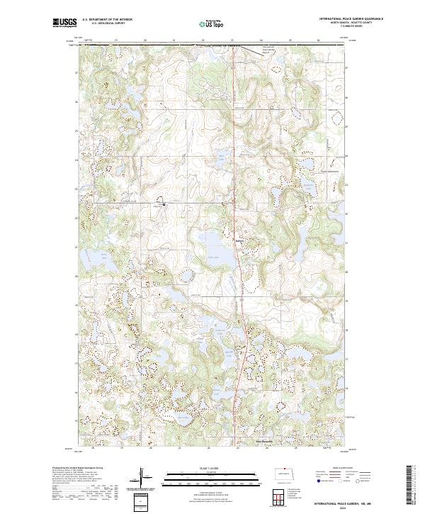
2024 International Peace Garden
Rolette County, ND
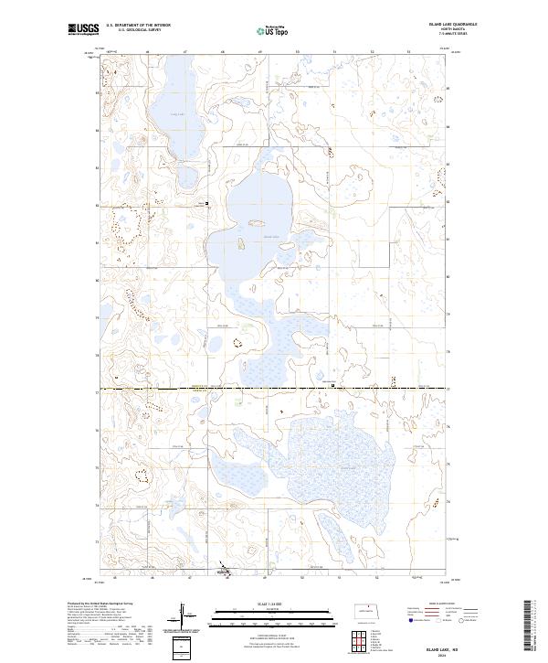
2024 Island Lake
Rolette County, ND
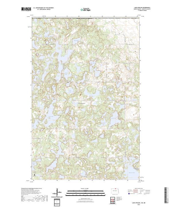
2024 Lake Upsilon
Rolette County, ND
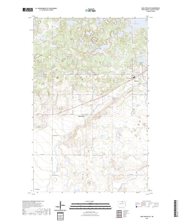
2024 Lake Upsilon SE
Rolette County, ND
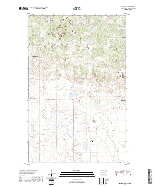
2024 Lake Upsilon SW
Rolette County, ND
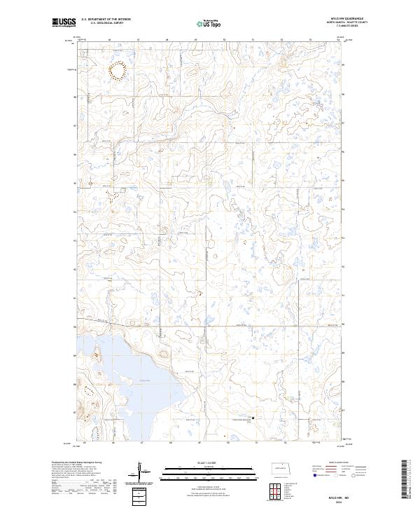
2024 Mylo NW
Rolette County, ND
2024 Mylo SE
Rolette County, ND
2024 Nanson
Rolette County, ND
2024 Overly SE
Rolette County, ND
2024 Rolette SW
Rolette County, ND
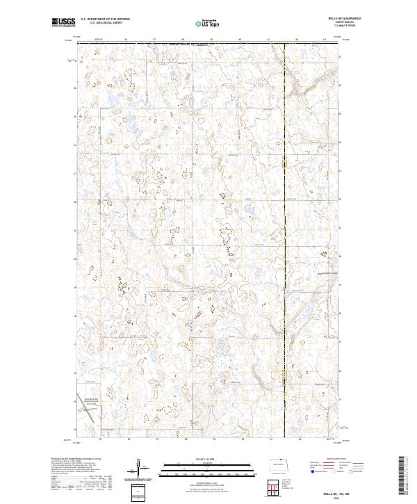
2024 Rolla NE
Rolette County, ND
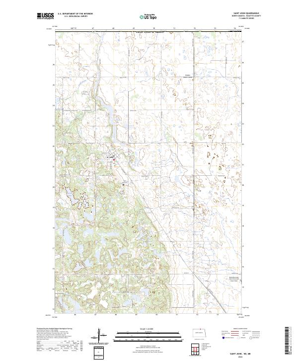
2024 Saint John
Rolette County, ND
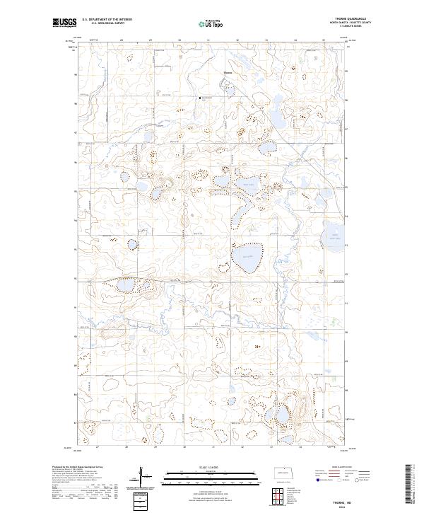
2024 Thorne
Rolette County, ND