Old Maps of Island Park Township, North Dakota for Genealogy
Trace your family roots with 28 historic maps of Island Park Township. These high-res maps reveal old neighborhoods, homesites, landmarks, and streets — helping you uncover where your ancestors lived and how the area evolved over time.
- Explore historic neighborhoods: Identify where your relatives may have lived in the 1800s or 1900s.
- Compare maps over time: Trace the changes in streets, buildings, and landmarks for multi-generational research.
- Perfect for genealogy & ancestry research: Used by family historians and researchers to map out lineage and migration.
These maps are an incredible resource for exploring your personal connection to Island Park Township's past.
Island Park Township, ND maps
(28)- 1953 Map of Fargo, 1965 Print
 1953 Fargo1965 Print · USGSThe Red River Valley in the mid-fifties was a bustling rail and agricultural corridor during a period of steady prairie growth. Genealogists and historians can trace the intricate rail networks of the Great Northern and Soo Line connecting local hubs like Casselton and Wahpeton.2 unique versions available
 - 1956 Map of Fargo
 1956 Fargo1956 Print · USGSThe Red River Valley's agricultural heartland is documented here in the mid-fifties as the rail-and-road network expanded across the plains. Genealogists can trace family roots through numerous small railroad towns and local landmarks like Casselton, Sheyenne Valley Church, and Sisseton Indian Res.
 - 1957 Map of Elliott SE, 1958 Print
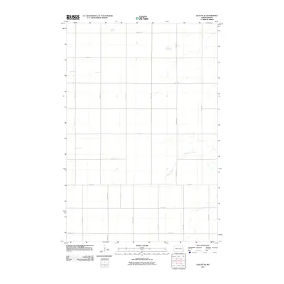
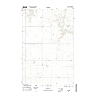
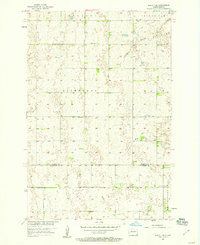 1957 Elliott SE1958 Print · USGSRansom and Sargent Counties are captured in the mid-1950s, showing a settled prairie landscape defined by its rural school districts and glacial topography. Researchers can trace the locations of School No 1, School No 2, and School No 3 or locate Whitestone Hill.
 - 1962 Map of Lisbon, 1964 Print
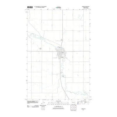
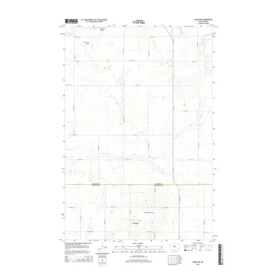
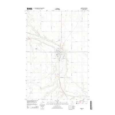
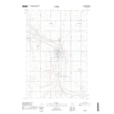
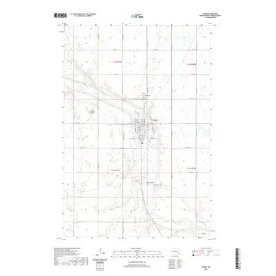
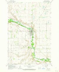 1962 Lisbon1964 Print · USGSLisbon and the winding Sheyenne River valley are captured here in the early sixties, showing the town at a peak of mid-century development. Genealogists and local historians can locate the State Soldiers Home, Oakwood Cemetery, and the Northern Pacific rail line.
 - 1962 Map of Lisbon SW, 1964 Print
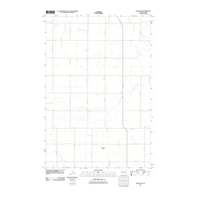
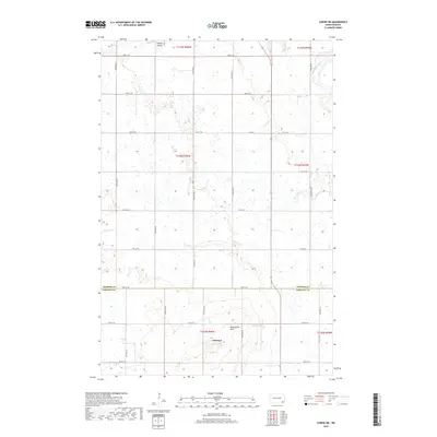
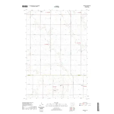
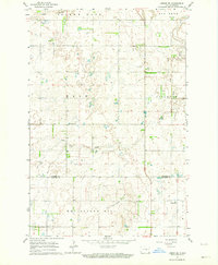 1962 Lisbon SW1964 Print · USGSRansom and Sargent counties are captured here in the early sixties, showing a landscape of scattered farmsteads and glacial hills. Genealogists can locate family sites near the Lutheran Ch, Cem, or along the banks of Dead Colt Creek.
 - 1962 Map of Elliott, 1964 Print
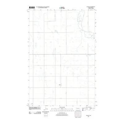
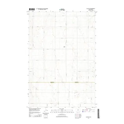
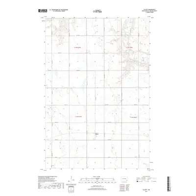
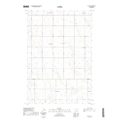
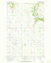 1962 Elliott1964 Print · USGSIn the early 1960s, this Ransom County prairie landscape was defined by the Northern Pacific railroad and the winding Sheyenne River. Genealogists and local historians can trace rural landmarks like Dick Cem, School No 1, and the rail siding at Elliott.
 - 1986 Map of Lisbon
 1986 Lisbon1986 Print · USGSSoutheastern North Dakota's prairie landscape is mapped here in the mid-1980s, showcasing a region defined by its river valleys and rail-fed agricultural towns. Researchers can trace the heritage of communities like Gwinner and Cayuga or locate family markers at Oakwood Cem.2 unique versions available
 - 1989 Map of Fargo, 1990 Print
 1989 Fargo1990 Print · USGSThe Red River Valley at the end of the eighties shows a landscape of flourishing university towns and vital rail corridors. Researchers can trace family roots through Riverside Cem, find early campus layouts for North Dakota State University, or follow the Soo Line Railroad through West Fargo.
 - 2011 Map of Lisbon, 2011 Print
 2011 Lisbon2011 Print · USGSCovers Island Park Township, including Lisbon, Casey Township, and other nearby areas
 - 2011 Map of Lisbon SW, 2011 Print
 2011 Lisbon SW2011 Print · USGSCovers Island Park Township, including Gwinner, Willey Township, and other nearby areas
 - 2011 Map of Elliott SE, 2011 Print
 2011 Elliott SE2011 Print · USGSCovers Island Park Township, including Elliott Township, Vivian Township, and other nearby areas
 - 2011 Map of Elliott, 2011 Print
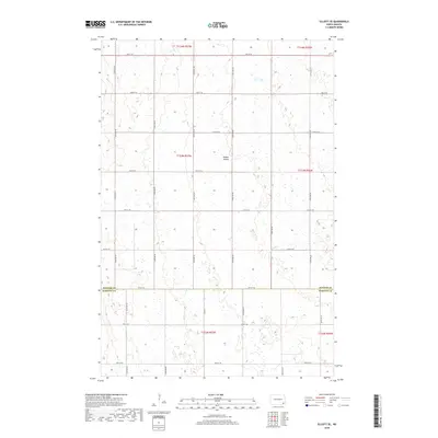
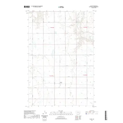
 2011 Elliott2011 Print · USGSCovers Island Park Township, including Elliott, Elliott Township, and other nearby areas
 - 2014 Map of Lisbon SW, 2014 Print
 2014 Lisbon SW2014 Print · USGSCovers Island Park Township, including Gwinner, Willey Township, and other nearby areas
 - 2014 Map of Elliott SE, 2014 Print
 2014 Elliott SE2014 Print · USGSCovers Island Park Township, including Elliott Township, Vivian Township, and other nearby areas
 - 2014 Map of Lisbon, 2014 Print
 2014 Lisbon2014 Print · USGSCovers Island Park Township, including Lisbon, Casey Township, and other nearby areas
 - 2014 Map of Elliott, 2014 Print
 2014 Elliott2014 Print · USGSCovers Island Park Township, including Elliott, Elliott Township, and other nearby areas
 - 2017 Map of Elliott, 2017 Print
 2017 Elliott2017 Print · USGSCovers Island Park Township, including Elliott, Elliott Township, and other nearby areas
 - 2018 Map of Elliott SE, 2018 Print
 2018 Elliott SE2018 Print · USGSCovers Island Park Township, including Elliott Township, Vivian Township, and other nearby areas
 - 2018 Map of Lisbon, 2018 Print
 2018 Lisbon2018 Print · USGSCovers Island Park Township, including Lisbon, Casey Township, and other nearby areas
 - 2018 Map of Lisbon SW, 2018 Print
 2018 Lisbon SW2018 Print · USGSCovers Island Park Township, including Gwinner, Willey Township, and other nearby areas
 - 2020 Map of Elliott SE, 2020 Print
 2020 Elliott SE2020 Print · USGSCovers Island Park Township, including Elliott Township, Vivian Township, and other nearby areas
 - 2020 Map of Lisbon, 2020 Print
 2020 Lisbon2020 Print · USGSCovers Island Park Township, including Lisbon, Casey Township, and other nearby areas
 - 2020 Map of Elliott, 2020 Print
 2020 Elliott2020 Print · USGSCovers Island Park Township, including Elliott, Elliott Township, and other nearby areas
 - 2020 Map of Lisbon SW, 2020 Print
 2020 Lisbon SW2020 Print · USGSCovers Island Park Township, including Gwinner, Willey Township, and other nearby areas
 - 2024 Map of Elliott, 2024 Print
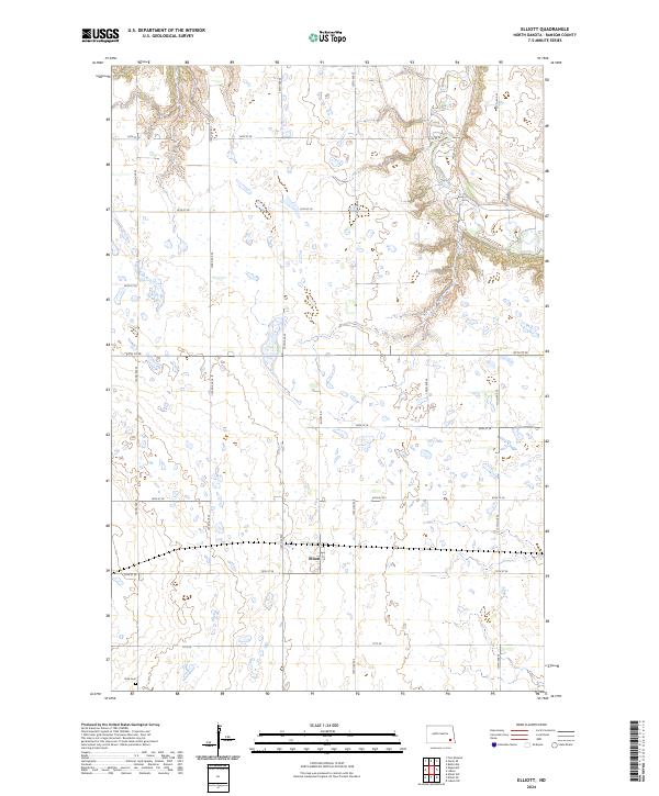 2024 Elliott2024 Print · USGSRansom County's eastern prairie landscape is captured in this modern survey, showing the quiet agricultural heart of the Red River Valley. Genealogists and local historians can locate the Dick Cem and trace the rural layout around Elliott and the Sheyenne River.
Showing maps 1-25 of 28
Top cities near Island Park Township
- Lisbon historical maps
- Enderlin historical maps
- Gwinner historical maps
- Sheldon historical maps
- Fort Ransom historical maps
- Elliott historical maps
Frequently asked questions
- What are the different types of historical maps available for Island Park Township?
- What is the oldest map of Island Park Township?
- Where can I purchase historical maps of Island Park Township for my home or office?
- Where can I download high-res historical maps of Island Park Township?
- Are there historical topographic maps available for Island Park Township?
- Is there historical aerial imagery available for Island Park Township?
- Where are historical maps of Island Park Township sourced from?