Old Maps of Sherwood, North Dakota for Genealogy
Trace your family roots with 9 historic maps of Sherwood. These high-res maps reveal old neighborhoods, homesites, landmarks, and streets — helping you uncover where your ancestors lived and how the area evolved over time.
- Explore historic neighborhoods: Identify where your relatives may have lived in the 1800s or 1900s.
- Compare maps over time: Trace the changes in streets, buildings, and landmarks for multi-generational research.
- Perfect for genealogy & ancestry research: Used by family historians and researchers to map out lineage and migration.
These maps are an incredible resource for exploring your personal connection to Sherwood's past.
Sherwood, ND maps
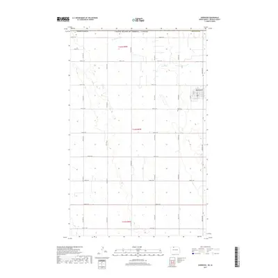
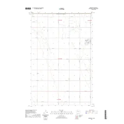
(9)- 1949 Map of Sherwood
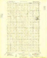 1949 Sherwood1949 Print · USGSThe North Dakota borderlands come into focus in the years after the war, centered on the international crossing at Sherwood. Genealogists and local historians can trace the town’s grid, the Great Northern rail line, and sites like Union Cem and the Lutheran Cem.
 - 1950 Map of Mohall
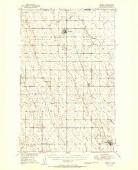 1950 Mohall1950 Print · USGSNorth Dakota's northern borderlands are captured here just after the war, showing the deep-rooted agricultural townships of Renville County. Genealogists can trace family footprints near Union Cem, Hamerly Ch, and the numerous rural schoolhouses like School No 1 scattered along the Great Northern rail line.2 unique versions available
 - 1954 Map of Minot, 1964 Print
 1954 Minot1964 Print · USGSNorth Dakota's northern borderlands are captured here in the mid-fifties, showing a landscape defined by the winding Souris River and the rise of the Turtle Mountains. Genealogists can locate family-named sidings like Hurd Siding and Truro Siding alongside the vital Great Northern rail lines.3 unique versions available
 - 1958 Map of Minot
 1958 Minot1958 Print · USGSNorthern North Dakota is shown here during the mid-fifties, dominated by the rail-driven growth of Minot and the surrounding grain-farming prairie. Genealogists can trace family connections to border towns like Westhope or explore the vast reaches of the Turtle Mountains.
 - 2011 Map of Sherwood, 2011 Print
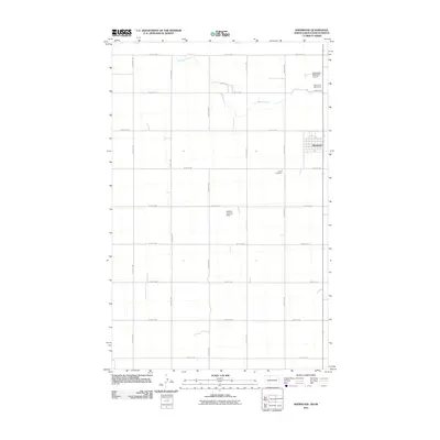 2011 Sherwood2011 Print · USGSCovers Sherwood, including Renville County, Argyle No. 1, and other nearby areas
 - 2014 Map of Sherwood, 2014 Print
 2014 Sherwood2014 Print · USGSCovers Sherwood, including Renville County, Argyle No. 1, and other nearby areas
 - 2017 Map of Sherwood, 2017 Print
 2017 Sherwood2017 Print · USGSCovers Sherwood, including Renville County, Argyle No. 1, and other nearby areas
 - 2020 Map of Sherwood, 2020 Print
 2020 Sherwood2020 Print · USGSCovers Sherwood, including Renville County, Argyle No. 1, and other nearby areas
 - 2024 Map of Sherwood, 2024 Print
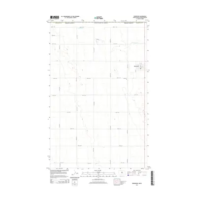
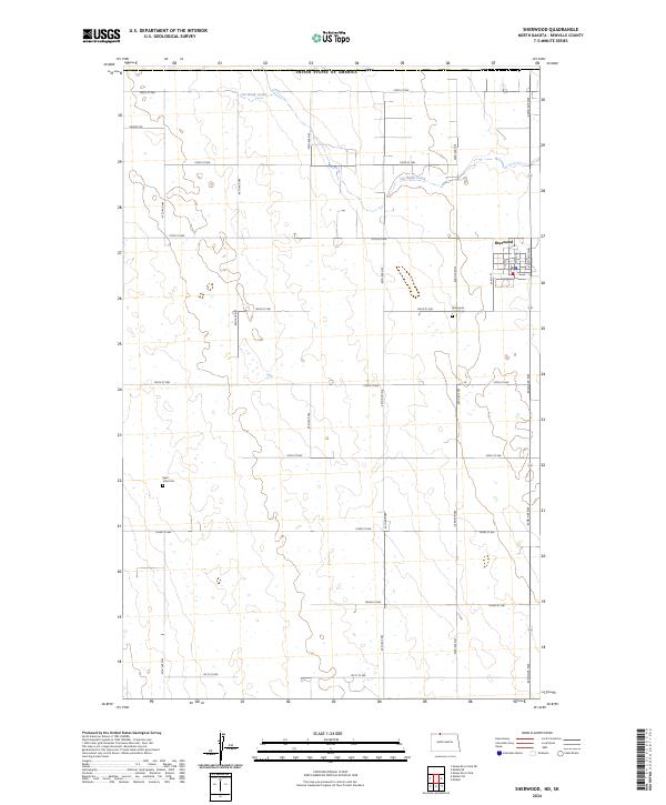 2024 Sherwood2024 Print · USGSRenville County, North Dakota, is mapped here at the international border as it appears today. Genealogists can locate family sites near Sherwood Union Cem and Saint John Cem, or trace the path of Cut Bank Creek across the northern prairie.
End of results
Showing maps 1-9 of 9
Top cities near Sherwood
Frequently asked questions
- What are the different types of historical maps available for Sherwood?
- What is the oldest map of Sherwood?
- Where can I purchase historical maps of Sherwood for my home or office?
- Where can I download high-res historical maps of Sherwood?
- Are there historical topographic maps available for Sherwood?
- Is there historical aerial imagery available for Sherwood?
- Where are historical maps of Sherwood sourced from?