Old Maps of Denver Township, North Dakota for Hiking & Exploration
Hike through history with 34 historic maps of Denver Township. Explore old trails, ghost towns, and forgotten backroads — perfect for outdoor adventurers and local explorers.
- Rediscover forgotten places: Map out old mining camps, roads, and footpaths that no longer exist on modern maps.
- Layer with modern tools: Combine with LiDAR or satellite views to plan hikes through historical terrain.
- Made for exploration: Popular among hikers, overlanders, and local history lovers.
Use these maps to find adventure and explore the hidden past of Denver Township.
Denver Township, ND maps
(34)- 1894 Map of Oakes
 1894 Oakes1894 Print · USGSSoutheast North Dakota at the close of the nineteenth century is revealed as a burgeoning rail hub centered on the James River Valley. Genealogists can locate early homesteading era settlements like Port Emma, Glover, and the bustling junction at Oakes.2 unique versions available
 - 1895 Map of Lamoure
 1895 Lamoure1895 Print · USGSSoutheastern North Dakota was a landscape of rapid rail expansion and river-based settlement in the mid-1890s. Genealogists and historians can trace the early foundations of towns like Lamoure, Oakes, and Grand Rapids along the winding James River.2 unique versions available
 - 1918 Map of La Moure
 1918 La Moure1918 Print · USGSSoutheastern North Dakota was a thriving rail and agricultural hub during the early twentieth century, as seen in this detailed 1918 survey. Researchers can trace the development of the James River corridor and locate early settlements like Grand Rapids, Oakes, and Port Emma.2 unique versions available
 - 1952 Map of Oakes, 1954 Print
 1952 Oakes1954 Print · USGSIn the early fifties, this Dickey County hub sat at a critical rail junction. Trace the path of three major railroads through Oakes, locate local landmarks like Oakes View Cemetery, and identify rural prairie infrastructure including School No 4 and various flowing wells.
 - 1952 Map of Crete, 1954 Print
 1952 Crete1954 Print · USGSSargent County prairie life in the early fifties was centered on remote rail stops and township schoolhouses. Researchers can trace family ties to Emmanuel Ch and locate rural landmarks like Crete, Hample, and the distinct waters of Bruns Slough.2 unique versions available
 - 1953 Map of Jamestown
 1953 Jamestown1953 Print · USGSSoutheastern North Dakota was a thriving rail and agricultural corridor in the early fifties, anchored by the James River. Researchers can trace the footprints of institutional landmarks like the North Dakota State Hospital and historic sites such as Whitestone Hill Battlefield Park.3 unique versions available
 - 1953 Map of Fargo, 1965 Print
 1953 Fargo1965 Print · USGSThe Red River Valley in the mid-fifties was a bustling rail and agricultural corridor during a period of steady prairie growth. Genealogists and historians can trace the intricate rail networks of the Great Northern and Soo Line connecting local hubs like Casselton and Wahpeton.2 unique versions available
 - 1956 Map of Fargo
 1956 Fargo1956 Print · USGSThe Red River Valley's agricultural heartland is documented here in the mid-fifties as the rail-and-road network expanded across the plains. Genealogists can trace family roots through numerous small railroad towns and local landmarks like Casselton, Sheyenne Valley Church, and Sisseton Indian Res.
 - 1956 Map of Jamestown
 1956 Jamestown1956 Print · USGSThe James River valley and the vast alkali lake country of south-central North Dakota are captured here in the mid-fifties. Genealogists can trace family farms across several counties, locating small rail stops like Medberry and monuments like Whitestone Hill Battlefield Park.
 - 1957 Map of Elliott SW, 1958 Print
 1957 Elliott SW1958 Print · USGSRansom and Sargent Counties are captured here in the late fifties, showcasing a prairie landscape defined by township grids and glacial sloughs. Genealogists can trace the locations of rural schoolhouses like Cleveland Sch and School No 2 or the drainage of Englevale Slough.
 - 1970 Map of Verona, 1973 Print
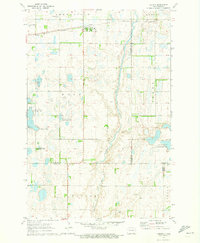 1970 Verona1973 Print · USGSNorth Dakota's southeastern prairie reveals a complex network of wetlands and rail-line settlements during the early 1970s. Researchers can trace the railroad corridor through Verona or locate family history at Pilgrims Rest Cem and St Raphael Cem.
 - 1986 Map of La Moure
 1986 La Moure1986 Print · USGSMid-century settlement patterns and water management define this stretch of the North Dakota prairie during the 1980s. Researchers can trace historic rail lines like the Soo Line or locate sites such as Whitestone Battlefield State Park and Ellendale.2 unique versions available
 - 1986 Map of Lisbon
 1986 Lisbon1986 Print · USGSSoutheastern North Dakota's prairie landscape is mapped here in the mid-1980s, showcasing a region defined by its river valleys and rail-fed agricultural towns. Researchers can trace the heritage of communities like Gwinner and Cayuga or locate family markers at Oakwood Cem.2 unique versions available
 - 1989 Map of Fargo, 1990 Print
 1989 Fargo1990 Print · USGSThe Red River Valley at the end of the eighties shows a landscape of flourishing university towns and vital rail corridors. Researchers can trace family roots through Riverside Cem, find early campus layouts for North Dakota State University, or follow the Soo Line Railroad through West Fargo.
 - 2011 Map of Oakes, 2011 Print
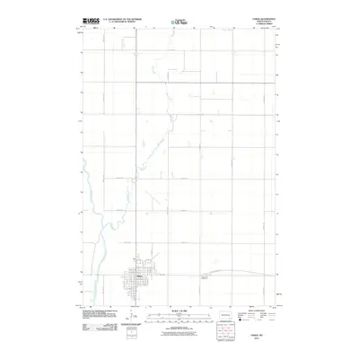 2011 Oakes2011 Print · USGSThe town of Oakes and the surrounding Dickey County plains are captured here in the early twenty-first century. Researchers can trace the local street grid, locate Oakes View Cemetery, and follow the riparian paths of the James River and Bear Creek.
 - 2011 Map of Verona, 2011 Print
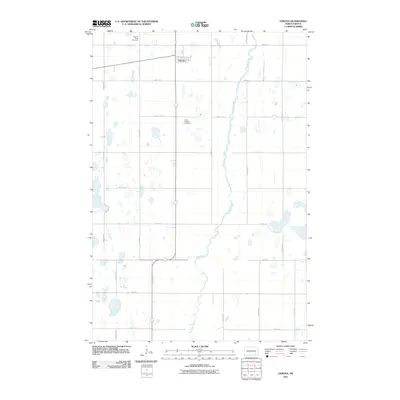 2011 Verona2011 Print · USGSThe rural landscape of LaMoure County is captured here in the early twenty-first century, centered on the small settlement of Verona. Genealogists and local historians can locate family burial plots at Pilgrims Rest Cemetery and Saint Raphael Cemetery or trace the winding course of Bear Creek.
 - 2011 Map of Crete, 2011 Print
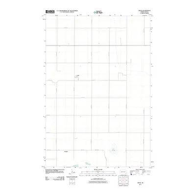 2011 Crete2011 Print · USGSCrete and the surrounding prairie of Sargent County are captured in this early 21st-century survey of the North Dakota landscape. Researchers can trace the local road network and identify small settlements like Hample or the town streets of Crete near Dill Slough.
 - 2011 Map of Elliott SW, 2011 Print
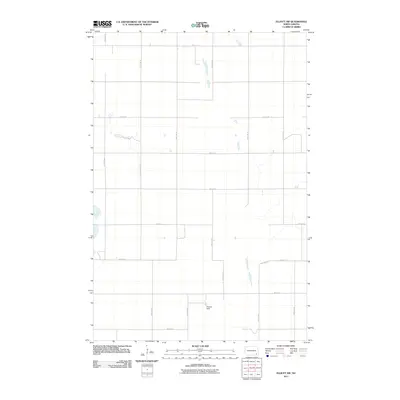 2011 Elliott SW2011 Print · USGSRansom County’s rural prairie reaches are captured here in the early twenty-first century, showcasing a landscape of section-line roads and seasonal wetlands. Genealogists and local historians can trace the precise boundaries of the township grid and locate the Widmer Strip near 80th St SE.
 - 2014 Map of Oakes, 2014 Print
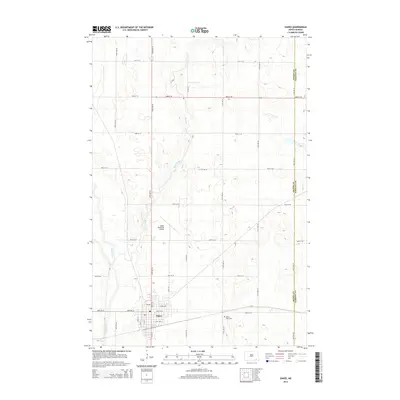 2014 Oakes2014 Print · USGSThe James River valley in Dickey County comes into sharp focus during the early 2010s, showing a well-established agricultural hub. Researchers can trace the development of Oakes through its modern street grid, from Fir Ave to Lilac Ave, and locate local landmarks like Oakes View Cem.
 - 2014 Map of Verona, 2014 Print
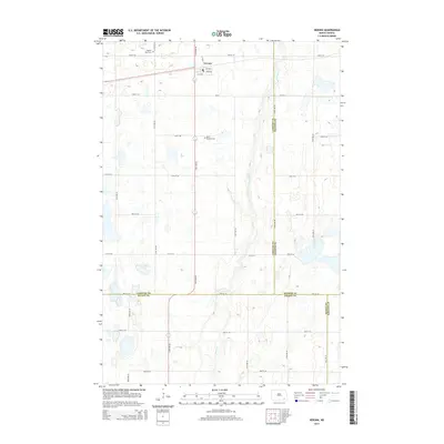 2014 Verona2014 Print · USGSThe village of Verona and the surrounding prairie lands appear here in the early twenty-first century. Genealogists and local researchers can trace family plots at Pilgrims Rest Cem and Saint Raphael Cem or follow the path of Bear Creek.
 - 2014 Map of Elliott SW, 2014 Print
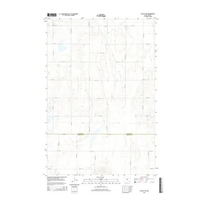 2014 Elliott SW2014 Print · USGSThe borderlands of southeastern North Dakota are captured here in the early twenty-first century, showing the intersection of two rural counties. Researchers can trace land divisions and local routes like CR-3705, 78th Ave SE, and the line of Ransom Co.
 - 2014 Map of Crete, 2014 Print
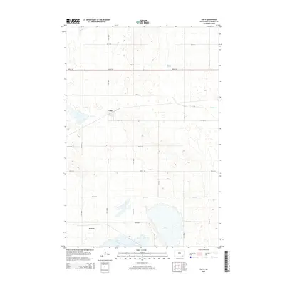 2014 Crete2014 Print · USGSSoutheastern North Dakota's prairie landscape is documented here in the early twenty-first century, centered on the rural town of Crete. Genealogists and local historians can trace the grid of section-line roads connecting the settlement of Hample to local landmarks like Lake Taayer and Dill Slough.
 - 2017 Map of Elliott SW, 2017 Print
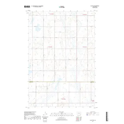 2017 Elliott SW2017 Print · USGSThe borderlands of Ransom Co and Sargent Co appear in this recent survey of the North Dakota prairie. Researchers can trace the section-line roads like 78th St SE and 120th Ave SE through a landscape of countless wetlands.
 - 2017 Map of Crete, 2017 Print
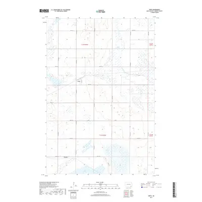 2017 Crete2017 Print · USGSSargent County's prairie landscape is captured here in the late twenty-teens, showing the enduring grid of the Northern Plains. Researchers can trace the layout of small settlements like Crete and Hample alongside water features like Lake Taayer and Bruns Slough.
 - 2017 Map of Oakes, 2017 Print
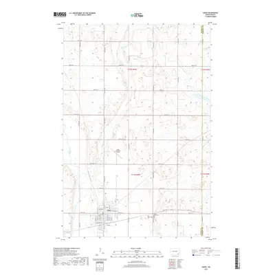 2017 Oakes2017 Print · USGSOakes and the fertile plains of Dickey County are captured here during a period of steady prairie life. Genealogists and local researchers can trace family plots at Saint Charles Cem or follow the waters of the James River and Bear Creek.
Showing maps 1-25 of 34
Top cities near Denver Township
- Oakes historical maps
- Cogswell historical maps
- Clement Township historical maps
- Verona historical maps
- Brampton Township historical maps
- Elliott historical maps
See more
Top neighborhoods of Denver Township
Frequently asked questions
- What are the different types of historical maps available for Denver Township?
- What is the oldest map of Denver Township?
- Where can I purchase historical maps of Denver Township for my home or office?
- Where can I download high-res historical maps of Denver Township?
- Are there historical topographic maps available for Denver Township?
- Is there historical aerial imagery available for Denver Township?
- Where are historical maps of Denver Township sourced from?