2020s Maps of Weber Township, North Dakota
Explore 10 historic maps of Weber Township from the 2020s. These maps offer a rare glimpse into what life looked like during the 2020s — showing old roads, neighborhoods, homes, and landmarks that have changed or disappeared over time.
Whether you're researching your family's past, planning a metal detecting trip, or studying how Weber Township's landscape evolved across the 2020s, these high-resolution maps are a powerful tool for exploring the history of this region.
- Focus on a specific era: All maps on this page are from the 2020s, giving you a focused view of this time period.
- See what’s changed: Compare century-old streets, trails, and buildings to today's modern landscape using overlays and satellite layers.
- Research with precision: Use these maps for genealogy, historical research, land use analysis, or educational projects.
- View, download, or print: Maps are fully viewable online in high resolution, and can be downloaded or printed for your own records.
Start exploring Weber Township's history through authentic maps from the 2020s. This is your window into the past.
Weber Township, ND maps
(10)- 2020 Map of Rutland, 2020 Print
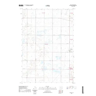 2020 Rutland2020 Print · USGSCovers Weber Township, including Rutland, Rutland Township, and other nearby areas
 - 2020 Map of Havana, 2020 Print
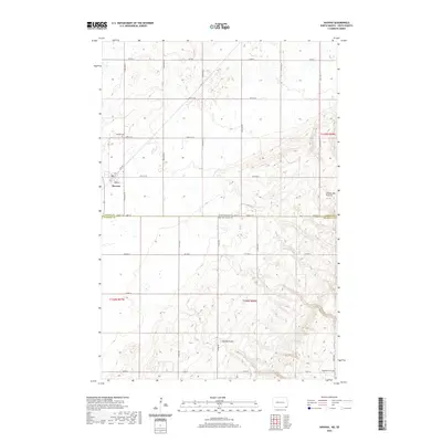 2020 Havana2020 Print · USGSCovers Weber Township, including Havana, Marshall County, and other nearby areas
 - 2020 Map of Cayuga, 2020 Print
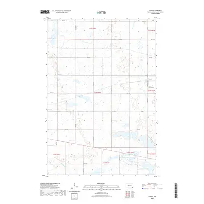 2020 Cayuga2020 Print · USGSCovers Weber Township, including Rutland, Cayuga, and other nearby areas
 - 2020 Map of Forman, 2020 Print
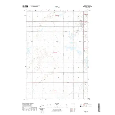 2020 Forman2020 Print · USGSCovers Weber Township, including Forman, Rutland Township, and other nearby areas
 - 2021 Map of Marlow, 2021 Print
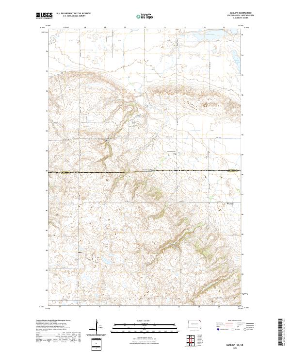 2021 Marlow2021 Print · USGSThe high plateau of the Coteau des Prairies defines this borderland between North and South Dakota in the twenty-first century. Genealogists and local historians can locate the community of Marlow and the nearby Immanuel Cem among the windswept hills.
 - 2021 Map of Kidder, 2021 Print
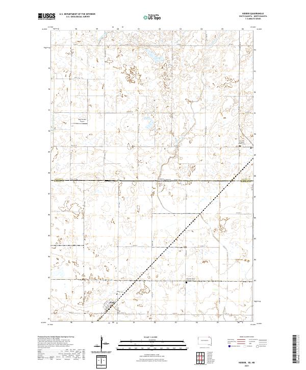 2021 Kidder2021 Print · USGSThe borderlands of North and South Dakota come alive in this 2021 record of a rural prairie community. Genealogists and historians can trace local family roots through sites like Kidder Cem, Pleasant Valley Lutheran Ch, and Kidder.
 - 2024 Map of Havana, 2024 Print
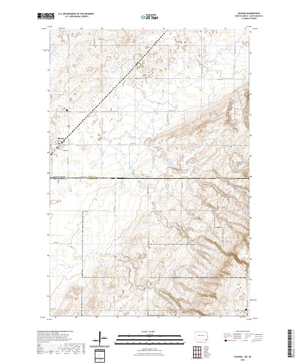 2024 Havana2024 Print · USGSThe borderlands of North and South Dakota come into focus in this contemporary study of the Havana vicinity. Genealogists and local historians can trace family ties at Havana Cem and Trondhjem Cem or explore the prairie wetlands of the Marshall County Waterfowl Production Area.
 - 2024 Map of Rutland, 2024 Print
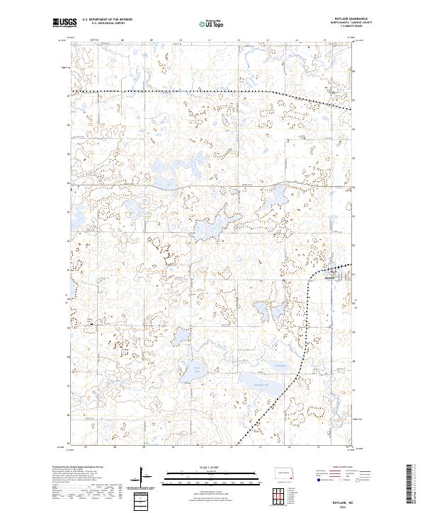 2024 Rutland2024 Print · USGSSargent County's prairie wetland landscape is captured here in the early 2020s, centered on the community of Rutland. Researchers can trace local landmarks like Trinity Cem or explore the extensive bounds of the Tewaukon National Wildlife Refuge.
 - 2024 Map of Forman, 2024 Print
 2024 Forman2024 Print · USGSThe Sargent County seat comes into clear focus in this recent survey of the North Dakota plains. Genealogists can locate family sites at Forman Cem and Old Trinity Cem or trace the winding path of the Wild Rice River.
 - 2024 Map of Cayuga, 2024 Print
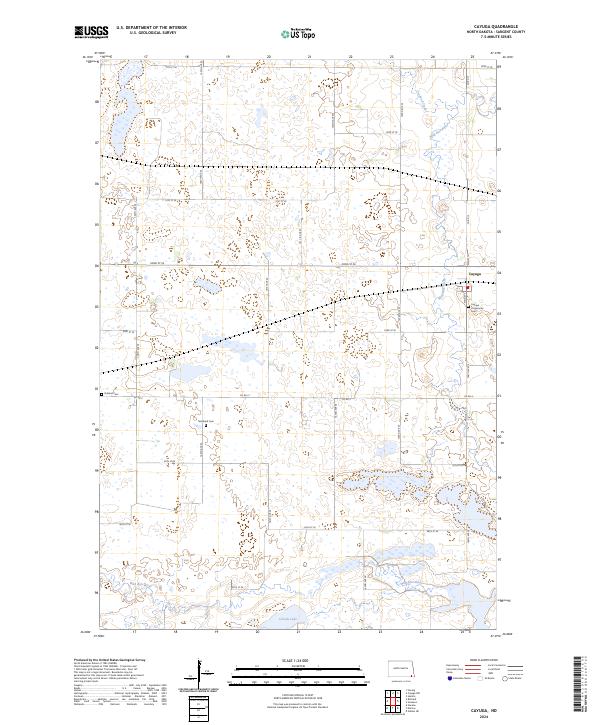 2024 Cayuga2024 Print · USGSSargent County's prairie and wetlands are mapped here in the modern era, centered on the community of Cayuga. Researchers can locate family landmarks like Cayuga Community Cem and Nordland Cem near the Wild Rice River.
End of results
Showing maps 1-10 of 10
Top cities near Weber Township
- Britton historical maps
- Forman historical maps
- Rutland historical maps
- Cogswell historical maps
- Havana historical maps
- Brampton Township historical maps
See more
Frequently asked questions
- What are the different types of historical maps available for Weber Township?
- What is the oldest map of Weber Township?
- Where can I purchase historical maps of Weber Township for my home or office?
- Where can I download high-res historical maps of Weber Township?
- Are there historical topographic maps available for Weber Township?
- Is there historical aerial imagery available for Weber Township?
- Where are historical maps of Weber Township sourced from?