Old Maps of Fort Yates District, North Dakota
Explore 96 old maps of Fort Yates District, spanning from 1953 to today. These high-resolution historic maps reveal how streets, neighborhoods, landmarks, and natural features evolved over time — perfect for genealogy, metal detecting, research, and local history exploration.
What you can do with these maps:
- See how Fort Yates District changed over time: Compare historical maps to modern-day views to trace roads, homesites, rail lines & more.
- View detailed metadata: Each map includes creators, publishers, year, scale, and archive source.
- Overlay maps with satellite & LiDAR: Visualize the past alongside modern tools to explore terrain & human change.
- Trusted historical sources: Maps sourced from the USGS, Library of Congress, and other archives.
- Access maps your way: View online, download high-res files, or order prints for personal or research use.
Start exploring old maps of Fort Yates District to uncover forgotten places, hidden landmarks, and the deep history beneath your feet.
Fort Yates District, ND maps
(96)- 1953 Map of McIntosh, 1965 Print
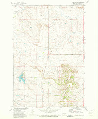
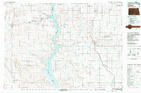
 1953 McIntosh1965 Print · USGSThe north-central Dakota prairie is captured here during the mid-fifties, showing the vast Standing Rock Indian Reservation and the newly formed Oah E Reservoir. Genealogists and historians can trace the Chicago Milwaukee St Paul and Pacific rail line through stops like McIntosh, Walker, and Eagle Butte.3 unique versions available
 - 1954 Map of Bismarck, 1967 Print
 1954 Bismarck1967 Print · USGSBismarck and the Missouri River basin are shown in the mid-1960s as the Oahe Reservoir reshaped the valley. Genealogists can trace family-named landmarks like Dog Tooth Buttes and small prairie settlements such as Fort Yates, Selfridge, and Brisbane.2 unique versions available
 - 1958 Map of Bismarck
 1958 Bismarck1958 Print · USGSCentral North Dakota in the late fifties is defined by the Missouri River and the sprawling Standing Rock Indian Reservation. Genealogists and historians can trace rail-line outposts like Sedalia Siding or explore local landmarks like Saint Anthony and Fort Lincoln State Park/Museum.
 - 1958 Map of McIntosh
 1958 McIntosh1958 Print · USGSThe north-central Dakotas appear here in the mid-1950s as massive engineering projects and rail lines shaped the plains. Researchers can trace tribal lands within the Standing Rock Indian Reservation and locate local landmarks like the Keller Mine or the Virginia Siding.
 - 1966 Map of McLaughlin NE, 1967 Print
 1966 McLaughlin NE1967 Print · USGSThe high plains along the state line between the Dakotas are captured here during the mid-sixties. Genealogists and local historians can trace the Chicago Milwaukee St Paul and Pacific rail line and the location of the Goose Camp Sch.
 - 1966 Map of Mahto NW, 1967 Print
 1966 Mahto NW1967 Print · USGSThe borderlands of the Dakotas appear here in the mid-1960s, showing the intersection of Sioux Co and Corson Co. Researchers can locate the Hope Cem and trace the winding paths of Bush Creek and Blackfoot Creek through Lincoln township.
 - 1968 Map of Cannon Ball SE, 1971 Print
 1968 Cannon Ball SE1971 Print · USGSThe Missouri River valley in the late sixties reveals a landscape transformed by the reservoir waters of Lake Oahe. Genealogists and local historians can locate early landmarks like the Old Catholic Cem and St James Ch on the bluffs above the rising water.
 - 1968 Map of Fort Yates NW, 1971 Print
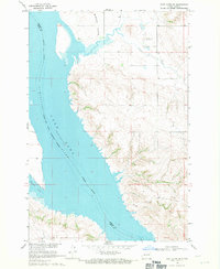
 1968 Fort Yates NW1971 Print · USGSThe Missouri River breaks of Sioux County appear here in the late sixties as the waters of Lake Oahe rise. Researchers can trace the boundaries of the Standing Rock Ind Res Bdy and locate St Lukes Cem along the rugged coulees of Porcupine Creek.
 - 1968 Map of Fort Yates SE, 1971 Print
 1968 Fort Yates SE1971 Print · USGSThe Missouri River borderlands in the late sixties show a landscape transformed by the rising waters of the newly formed reservoir. Trace the shoreline of Lake Oahe past Winona Flats and the Reierson Landing Strip as it meets the Standing Rock Indian Reservation.
 - 1968 Map of Fort Yates, 1971 Print
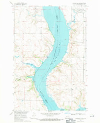
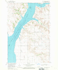
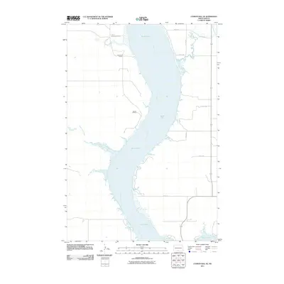
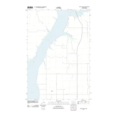
 1968 Fort Yates1971 Print · USGSThe Standing Rock Indian Reservation landscape is captured here in the late sixties as the waters of Lake Oahe transformed the valley. Researchers can locate the Sitting Bull Burial Site, the Reed Cem, and the community layout of Fort Yates at this pivotal moment.
 - 1968 Map of Fort Yates NE, 1971 Print
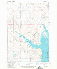
 1968 Fort Yates NE1971 Print · USGSThe Missouri River valley in Emmons County is seen here during the late 1960s as the river basin underwent significant transformation. Genealogists and researchers can trace local landmarks like Lutheran Cem and the geography of Winona Flats near Beaver Creek.2 unique versions available
 - 1968 Map of Cannon Ball SW, 1971 Print
 1968 Cannon Ball SW1971 Print · USGSThe high plains of the Standing Rock Indian Reservation are captured in the late sixties, showing a landscape shaped by vast drainage systems. Genealogists and historians can trace the paths of Beaver Creek, Fool Bear Creek, and Battle Creek through this remote ranching country.
 - 1971 Map of Barren Butte, 1973 Print
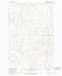
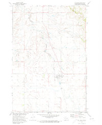
 1971 Barren Butte1973 Print · USGSSioux County terrain during the early seventies is defined here by open rangeland and the Missouri River Basin development program. Genealogists and historians can trace the course of Porcupine Creek and locate the elevation of Barren Butte within the Standing Rock Indian Reservation.
 - 1971 Map of Half Timber Butte, 1973 Print
 1971 Half Timber Butte1973 Print · USGSSioux County's high plains within the Standing Rock Indian Reservation are captured here in the early seventies. Genealogists and researchers can trace the winding path of Battle Creek and locate landmarks like Half Timber Butte and isolated Well sites.
 - 1971 Map of Froelich Dam, 1973 Print
 1971 Froelich Dam1973 Print · USGSSioux County in the early seventies centers on the development of the Froelich Dam State Management Area. Researchers can trace the path of the C M St P & P railroad and locate rural landmarks like Porcupine Creek and the Porcupine Hills.
 - 1971 Map of Solen SW, 1973 Print
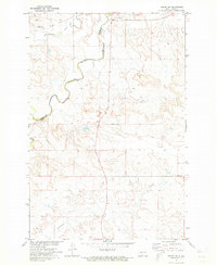 1971 Solen SW1973 Print · USGSSioux County's river-cut prairie is captured in the early seventies, dominated by the winding path of the Cannonball River. Researchers can trace the Old Railroad Grade and locate local landmarks like Fairview Cem and Dogtooth.
 - 1971 Map of Selfridge SE, 1974 Print
 1971 Selfridge SE1974 Print · USGSSioux County prairie land on the Standing Rock Indian Reservation is shown here in the early seventies during a period of Missouri River Basin development. Researchers can locate the Gayton Cem and trace the winding course of Fourmile Creek through the Porcupine Hills.
 - 1971 Map of Selfridge, 1974 Print
 1971 Selfridge1974 Print · USGSSelfridge and the surrounding prairie are captured here in the early seventies, centered on the Standing Rock Indian Reservation. Genealogists and local historians can trace the town's rail-oriented layout along the Milwaukee Road and locate the St Philomena Cem to the south.
 - 1971 Map of Maple Leaf, 1974 Print
 1971 Maple Leaf1974 Print · USGSThe northern plains borderland comes into focus in the early 1970s as the rail line still threads through the Standing Rock reservation. Researchers can trace the path of the Chicago Milwaukee St Paul and Pacific railroad through the settlement of Maple Leaf and along the banks of Oak Creek.
 - 1980 Map of Linton
 1980 Linton1980 Print · USGSThe Missouri River corridor in the early eighties serves as a backdrop for the sprawling Standing Rock Indian Reservation and Missouri plateau farm towns. Researchers can trace historic railroad routes like the Burlington Northern and find local landmarks such as Fort Yates, Solen, and Winona Flats.
 - 1985 Map of Mobridge
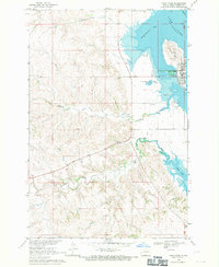
 1985 Mobridge1985 Print · USGSCrossing the Missouri River in the mid-1980s, this landscape reveals the intersection of the Standing Rock Indian Reservation and the rising waters of Lake Oahe. Researchers can locate significant historical markers such as Sitting Bulls Grave, St Elizabeth Mission Home, and the Leavenworth Monument.2 unique versions available
 - 2011 Map of Barren Butte, 2011 Print
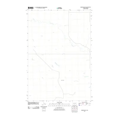 2011 Barren Butte2011 Print · USGSCovers Fort Yates District, including Sioux County, United States, and other nearby areas
 - 2011 Map of Fort Yates, 2011 Print
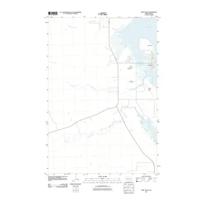 2011 Fort Yates2011 Print · USGSCovers Fort Yates District, including Fort Yates, Kenel District, and other nearby areas
 - 2011 Map of Cannon Ball SE, 2011 Print
 2011 Cannon Ball SE2011 Print · USGSCovers Fort Yates District, including Cannonball District, Cannon Ball, and other nearby areas
 - 2011 Map of Fort Yates NE, 2011 Print
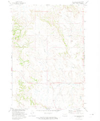
 2011 Fort Yates NE2011 Print · USGSCovers Fort Yates District, including Cannon Ball, Sioux County, and other nearby areas
Showing maps 1-25 of 96
Top cities near Fort Yates District
- Cannonball District historical maps
- Cannon Ball historical maps
- McLaughlin historical maps
- Fort Yates historical maps
- Selfridge historical maps
Top neighborhoods of Fort Yates District
Frequently asked questions
- What are the different types of historical maps available for Fort Yates District?
- What is the oldest map of Fort Yates District?
- Where can I purchase historical maps of Fort Yates District for my home or office?
- Where can I download high-res historical maps of Fort Yates District?
- Are there historical topographic maps available for Fort Yates District?
- Is there historical aerial imagery available for Fort Yates District?
- Where are historical maps of Fort Yates District sourced from?