1970s Maps of Fort Yates District, North Dakota
Explore 7 historic maps of Fort Yates District from the 1970s. These maps offer a rare glimpse into what life looked like during the 1970s — showing old roads, neighborhoods, homes, and landmarks that have changed or disappeared over time.
Whether you're researching your family's past, planning a metal detecting trip, or studying how Fort Yates District's landscape evolved across the 1970s, these high-resolution maps are a powerful tool for exploring the history of this region.
- Focus on a specific era: All maps on this page are from the 1970s, giving you a focused view of this time period.
- See what’s changed: Compare century-old streets, trails, and buildings to today's modern landscape using overlays and satellite layers.
- Research with precision: Use these maps for genealogy, historical research, land use analysis, or educational projects.
- View, download, or print: Maps are fully viewable online in high resolution, and can be downloaded or printed for your own records.
Start exploring Fort Yates District's history through authentic maps from the 1970s. This is your window into the past.
Fort Yates District, ND maps
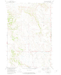
(7)- 1971 Map of Barren Butte, 1973 Print
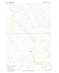 1971 Barren Butte1973 Print · USGSSioux County terrain during the early seventies is defined here by open rangeland and the Missouri River Basin development program. Genealogists and historians can trace the course of Porcupine Creek and locate the elevation of Barren Butte within the Standing Rock Indian Reservation.
 - 1971 Map of Half Timber Butte, 1973 Print
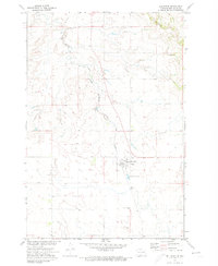
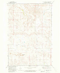 1971 Half Timber Butte1973 Print · USGSSioux County's high plains within the Standing Rock Indian Reservation are captured here in the early seventies. Genealogists and researchers can trace the winding path of Battle Creek and locate landmarks like Half Timber Butte and isolated Well sites.
 - 1971 Map of Froelich Dam, 1973 Print
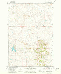 1971 Froelich Dam1973 Print · USGSSioux County in the early seventies centers on the development of the Froelich Dam State Management Area. Researchers can trace the path of the C M St P & P railroad and locate rural landmarks like Porcupine Creek and the Porcupine Hills.
 - 1971 Map of Solen SW, 1973 Print
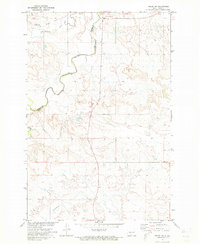 1971 Solen SW1973 Print · USGSSioux County's river-cut prairie is captured in the early seventies, dominated by the winding path of the Cannonball River. Researchers can trace the Old Railroad Grade and locate local landmarks like Fairview Cem and Dogtooth.
 - 1971 Map of Selfridge SE, 1974 Print
 1971 Selfridge SE1974 Print · USGSSioux County prairie land on the Standing Rock Indian Reservation is shown here in the early seventies during a period of Missouri River Basin development. Researchers can locate the Gayton Cem and trace the winding course of Fourmile Creek through the Porcupine Hills.
 - 1971 Map of Selfridge, 1974 Print
 1971 Selfridge1974 Print · USGSSelfridge and the surrounding prairie are captured here in the early seventies, centered on the Standing Rock Indian Reservation. Genealogists and local historians can trace the town's rail-oriented layout along the Milwaukee Road and locate the St Philomena Cem to the south.
 - 1971 Map of Maple Leaf, 1974 Print
 1971 Maple Leaf1974 Print · USGSThe northern plains borderland comes into focus in the early 1970s as the rail line still threads through the Standing Rock reservation. Researchers can trace the path of the Chicago Milwaukee St Paul and Pacific railroad through the settlement of Maple Leaf and along the banks of Oak Creek.
End of results
Showing maps 1-7 of 7
Top cities near Fort Yates District
- Cannonball District historical maps
- Cannon Ball historical maps
- McLaughlin historical maps
- Fort Yates historical maps
- Selfridge historical maps
Top neighborhoods of Fort Yates District
Frequently asked questions
- What are the different types of historical maps available for Fort Yates District?
- What is the oldest map of Fort Yates District?
- Where can I purchase historical maps of Fort Yates District for my home or office?
- Where can I download high-res historical maps of Fort Yates District?
- Are there historical topographic maps available for Fort Yates District?
- Is there historical aerial imagery available for Fort Yates District?
- Where are historical maps of Fort Yates District sourced from?