Old Maps of Cannonball District, North Dakota
Explore 51 old maps of Cannonball District, spanning from 1954 to today. These high-resolution historic maps reveal how streets, neighborhoods, landmarks, and natural features evolved over time — perfect for genealogy, metal detecting, research, and local history exploration.
What you can do with these maps:
- See how Cannonball District changed over time: Compare historical maps to modern-day views to trace roads, homesites, rail lines & more.
- View detailed metadata: Each map includes creators, publishers, year, scale, and archive source.
- Overlay maps with satellite & LiDAR: Visualize the past alongside modern tools to explore terrain & human change.
- Trusted historical sources: Maps sourced from the USGS, Library of Congress, and other archives.
- Access maps your way: View online, download high-res files, or order prints for personal or research use.
Start exploring old maps of Cannonball District to uncover forgotten places, hidden landmarks, and the deep history beneath your feet.
Cannonball District, ND maps
(51)- 1954 Map of Bismarck, 1967 Print
 1954 Bismarck1967 Print · USGSBismarck and the Missouri River basin are shown in the mid-1960s as the Oahe Reservoir reshaped the valley. Genealogists can trace family-named landmarks like Dog Tooth Buttes and small prairie settlements such as Fort Yates, Selfridge, and Brisbane.2 unique versions available
 - 1958 Map of Bismarck
 1958 Bismarck1958 Print · USGSCentral North Dakota in the late fifties is defined by the Missouri River and the sprawling Standing Rock Indian Reservation. Genealogists and historians can trace rail-line outposts like Sedalia Siding or explore local landmarks like Saint Anthony and Fort Lincoln State Park/Museum.
 - 1968 Map of Cannon Ball, 1971 Print
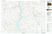
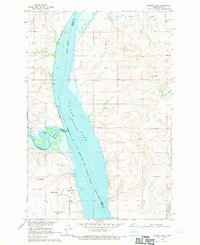 1968 Cannon Ball1971 Print · USGSThe Missouri River valley near the Standing Rock Indian Reservation is shown here in the late sixties as Lake Oahe reshaped the landscape. Trace the local geography of Cannon Ball, from the Cannon Ball Memorial Congregational Cem to the Old Railroad Grade.2 unique versions available
 - 1968 Map of Cannon Ball SE, 1971 Print
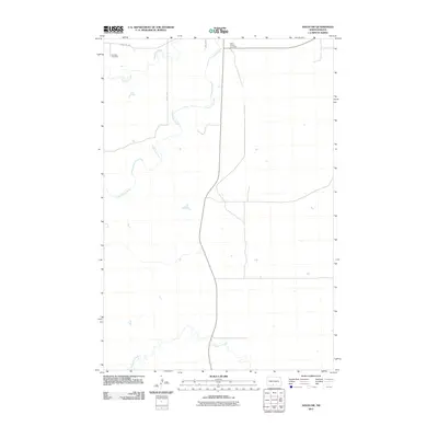
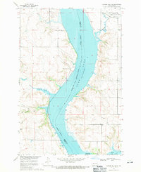 1968 Cannon Ball SE1971 Print · USGSThe Missouri River valley in the late sixties reveals a landscape transformed by the reservoir waters of Lake Oahe. Genealogists and local historians can locate early landmarks like the Old Catholic Cem and St James Ch on the bluffs above the rising water.
 - 1968 Map of Cannon Ball NW, 1971 Print
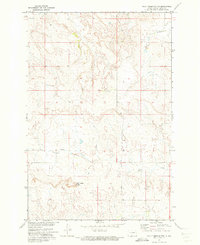
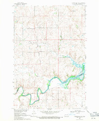 1968 Cannon Ball NW1971 Print · USGSThe Missouri River Basin landscape appears here in the late sixties, showcasing the intersection of tribal and military lands. Researchers can trace the Old Railroad Grade along the Cannonball River and locate the historic Fort Rice Military Reservation boundary.
 - 1968 Map of Cannon Ball SW, 1971 Print
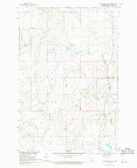 1968 Cannon Ball SW1971 Print · USGSThe high plains of the Standing Rock Indian Reservation are captured in the late sixties, showing a landscape shaped by vast drainage systems. Genealogists and historians can trace the paths of Beaver Creek, Fool Bear Creek, and Battle Creek through this remote ranching country.
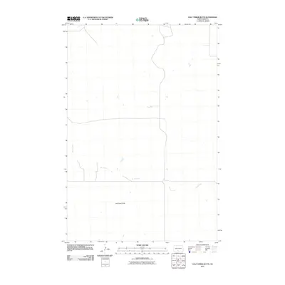
 - 1971 Map of Half Timber Butte, 1973 Print
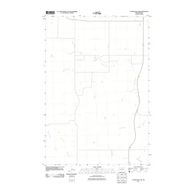
 1971 Half Timber Butte1973 Print · USGSSioux County's high plains within the Standing Rock Indian Reservation are captured here in the early seventies. Genealogists and researchers can trace the winding path of Battle Creek and locate landmarks like Half Timber Butte and isolated Well sites.
 - 1971 Map of Solen SW, 1973 Print
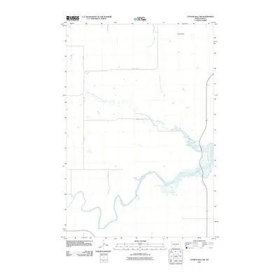
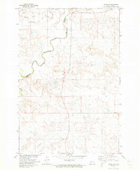 1971 Solen SW1973 Print · USGSSioux County's river-cut prairie is captured in the early seventies, dominated by the winding path of the Cannonball River. Researchers can trace the Old Railroad Grade and locate local landmarks like Fairview Cem and Dogtooth.
 - 1980 Map of Solen
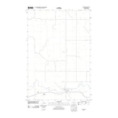
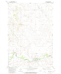 1980 Solen1980 Print · USGSSolen and the Standing Rock Indian Reservation border are captured here in 1980 during a period of rural transition. Genealogists and historians can trace local roots at Sacred Heart Cem, Red Cedar Cem, and the Old Railroad Grade along the Cannonball River.
 - 1980 Map of Breien
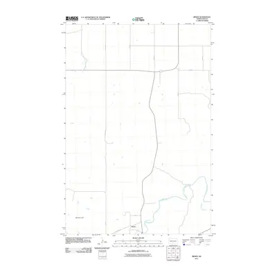
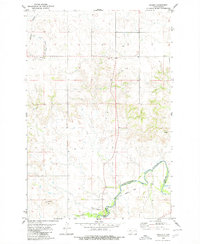 1980 Breien1980 Print · USGSMorton County at the start of the 1980s reveals a quiet landscape shaped by the Cannonball River. Genealogists and historians can trace the Old Railroad Grade past Breien or locate the distinctive War Dance Hill.
 - 1980 Map of Linton
 1980 Linton1980 Print · USGSThe Missouri River corridor in the early eighties serves as a backdrop for the sprawling Standing Rock Indian Reservation and Missouri plateau farm towns. Researchers can trace historic railroad routes like the Burlington Northern and find local landmarks such as Fort Yates, Solen, and Winona Flats.
 - 2011 Map of Cannon Ball SE, 2011 Print
 2011 Cannon Ball SE2011 Print · USGSCovers Cannonball District, including Cannon Ball, Fort Yates District, and other nearby areas
 - 2011 Map of Solen SW, 2011 Print
 2011 Solen SW2011 Print · USGSCovers Cannonball District, including Fort Yates District, Porcupine District, and other nearby areas
 - 2011 Map of Cannon Ball NW, 2011 Print
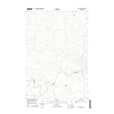
 2011 Cannon Ball NW2011 Print · USGSCovers Cannonball District, including Cannon Ball, Morton County, and other nearby areas
 - 2011 Map of Cannon Ball SW, 2011 Print
 2011 Cannon Ball SW2011 Print · USGSCovers Cannonball District, including Cannon Ball, Fort Yates District, and other nearby areas
 - 2011 Map of Half Timber Butte, 2011 Print
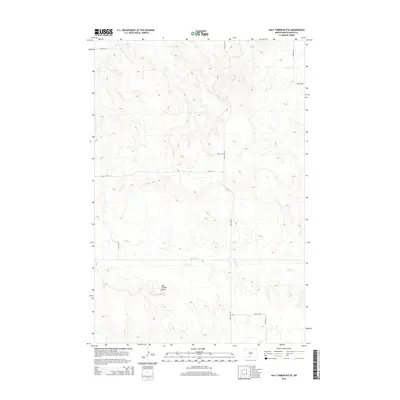
 2011 Half Timber Butte2011 Print · USGSCovers Cannonball District, including Fort Yates District, Sioux County, and other nearby areas
 - 2011 Map of Solen, 2011 Print
 2011 Solen2011 Print · USGSCovers Cannonball District, including Solen, Morton County, and other nearby areas
 - 2011 Map of Breien, 2011 Print
 2011 Breien2011 Print · USGSCovers Cannonball District, including Breien, Porcupine District, and other nearby areas
 - 2011 Map of Cannon Ball, 2011 Print
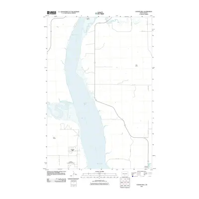 2011 Cannon Ball2011 Print · USGSCovers Cannonball District, including Cannon Ball, Morton County, and other nearby areas
 - 2014 Map of Cannon Ball, 2014 Print
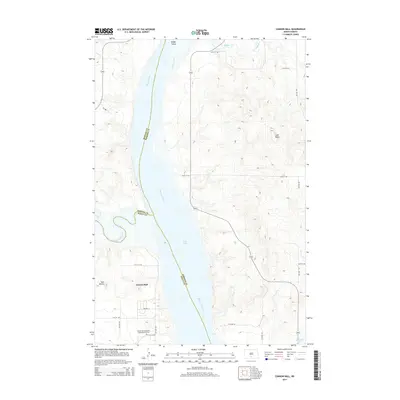 2014 Cannon Ball2014 Print · USGSCovers Cannonball District, including Cannon Ball, Morton County, and other nearby areas
 - 2014 Map of Half Timber Butte, 2014 Print
 2014 Half Timber Butte2014 Print · USGSCovers Cannonball District, including Fort Yates District, Sioux County, and other nearby areas
 - 2014 Map of Cannon Ball NW, 2014 Print
 2014 Cannon Ball NW2014 Print · USGSCovers Cannonball District, including Cannon Ball, Morton County, and other nearby areas
 - 2014 Map of Solen, 2014 Print
 2014 Solen2014 Print · USGSCovers Cannonball District, including Solen, Morton County, and other nearby areas
 - 2014 Map of Cannon Ball SW, 2014 Print
 2014 Cannon Ball SW2014 Print · USGSCovers Cannonball District, including Cannon Ball, Fort Yates District, and other nearby areas
 - 2014 Map of Solen SW, 2014 Print
 2014 Solen SW2014 Print · USGSCovers Cannonball District, including Fort Yates District, Porcupine District, and other nearby areas
Showing maps 1-25 of 51
Top cities near Cannonball District
Top neighborhoods of Cannonball District
Frequently asked questions
- What are the different types of historical maps available for Cannonball District?
- What is the oldest map of Cannonball District?
- Where can I purchase historical maps of Cannonball District for my home or office?
- Where can I download high-res historical maps of Cannonball District?
- Are there historical topographic maps available for Cannonball District?
- Is there historical aerial imagery available for Cannonball District?
- Where are historical maps of Cannonball District sourced from?