Old Maps of Dickinson, North Dakota
Explore 27 old maps of Dickinson, spanning from 1953 to today. These high-resolution historic maps reveal how streets, neighborhoods, landmarks, and natural features evolved over time — perfect for genealogy, metal detecting, research, and local history exploration.
What you can do with these maps:
- See how Dickinson changed over time: Compare historical maps to modern-day views to trace roads, homesites, rail lines & more.
- View detailed metadata: Each map includes creators, publishers, year, scale, and archive source.
- Overlay maps with satellite & LiDAR: Visualize the past alongside modern tools to explore terrain & human change.
- Trusted historical sources: Maps sourced from the USGS, Library of Congress, and other archives.
- Access maps your way: View online, download high-res files, or order prints for personal or research use.
Start exploring old maps of Dickinson to uncover forgotten places, hidden landmarks, and the deep history beneath your feet.
Dickinson, ND maps
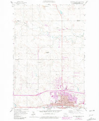
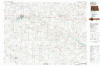
(27)- 1953 Map of Dickinson, 1968 Print
 1953 Dickinson1968 Print · USGSWestern North Dakota in the fifties remains a landscape of rail-linked prairie towns and rugged badlands. Trace the local impact of the Northern Pacific railroad through Dickinson or locate early rural landmarks like Rainy Butte Church and Boys Ranch.2 unique versions available
 - 1957 Map of Dickinson
 1957 Dickinson1957 Print · USGSSouthwestern North Dakota in the mid-fifties is a landscape of coal mining and tight-knit rural school districts. Genealogists can trace family footprints through numerous country schools like Fisher School and parish churches like St Stephens.
 - 1959 Map of Dickinson North
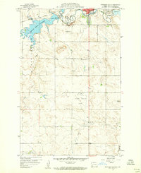
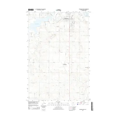
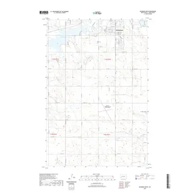
 1959 Dickinson North1959 Print · USGSDickinson and the surrounding Stark County prairies are captured here during the mid-century oil boom. Researchers can trace the development of the State Teachers College and locate family history at St Patricks Cem or rural School No 9.2 unique versions available
 - 1959 Map of Dickinson South, 1960 Print
 1959 Dickinson South1960 Print · USGSSouth of Dickinson in the late fifties, the landscape was defined by the intersection of the Heart River and new aviation infrastructure. Researchers can trace the local institutional history through the St Joseph Sch and St Joseph Cem or locate industrial Clay Pits near the Northern Pacific line.2 unique versions available
 - 1959 Map of Lehigh, 1960 Print
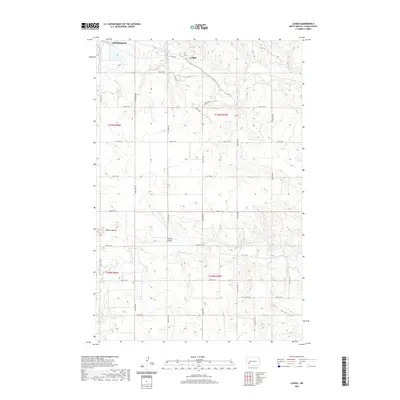
 1959 Lehigh1960 Print · USGSStark County's coal and rail landscape is captured here in the late fifties as industrial extraction and rural education shaped the community. Genealogists and local historians can locate the town of Lehigh, the Northern Pacific line, and rural landmarks like Shipley Sch No 3 or Dobson Buttes.2 unique versions available
 - 1962 Map of Davis Buttes, 1964 Print
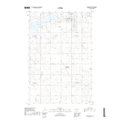
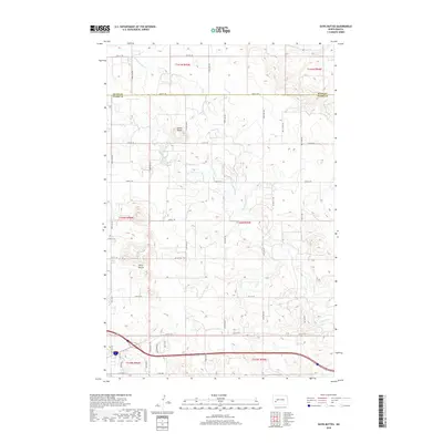
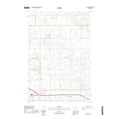
 1962 Davis Buttes1964 Print · USGSNorth Dakota's high plains meet Cold War defense and new infrastructure in the early sixties as a major highway is carved across the landscape. You can trace the rural layout of the day, from the Dickinson Air Force Station to the Versippi Sch and various gravel pits.2 unique versions available
 - 1981 Map of Dickinson
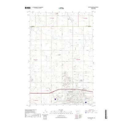
 1981 Dickinson1981 Print · USGSSouthwestern North Dakota prairie and the growing hub of Dickinson are captured here in the early eighties. Genealogists and local historians can trace the rail-side growth of Hebron and Gladstone or locate rural landmarks like New Hradec and Custer Lookout.
 - 2011 Map of Lehigh, 2011 Print
 2011 Lehigh2011 Print · USGSCovers Dickinson, including Lehigh, Stark County, and other nearby areas
 - 2011 Map of Davis Buttes, 2011 Print
 2011 Davis Buttes2011 Print · USGSCovers Dickinson, including Stark County, Dunn County, and other nearby areas
 - 2011 Map of Dickinson North, 2011 Print
 2011 Dickinson North2011 Print · USGSCovers Dickinson, including Stark County, Dunn County, and other nearby areas
 - 2011 Map of Dickinson South, 2011 Print
 2011 Dickinson South2011 Print · USGSCovers Dickinson, including Stark County, United States, and other nearby areas
 - 2014 Map of Lehigh, 2014 Print
 2014 Lehigh2014 Print · USGSCovers Dickinson, including Lehigh, Stark County, and other nearby areas
 - 2014 Map of Dickinson South, 2014 Print
 2014 Dickinson South2014 Print · USGSCovers Dickinson, including Stark County, United States, and other nearby areas
 - 2014 Map of Davis Buttes, 2014 Print
 2014 Davis Buttes2014 Print · USGSCovers Dickinson, including Stark County, Dunn County, and other nearby areas
 - 2014 Map of Dickinson North, 2014 Print
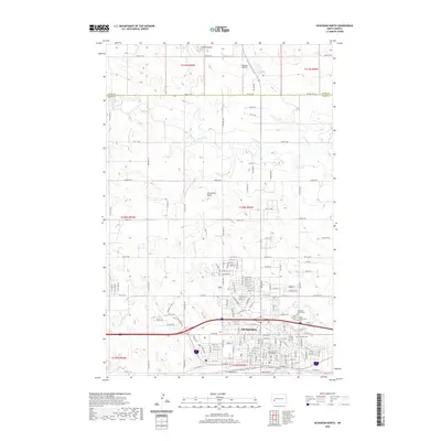
 2014 Dickinson North2014 Print · USGSCovers Dickinson, including Stark County, Dunn County, and other nearby areas
 - 2017 Map of Dickinson North, 2017 Print
 2017 Dickinson North2017 Print · USGSCovers Dickinson, including Stark County, Dunn County, and other nearby areas
 - 2017 Map of Dickinson South, 2017 Print
 2017 Dickinson South2017 Print · USGSCovers Dickinson, including Stark County, United States, and other nearby areas
 - 2018 Map of Lehigh, 2018 Print
 2018 Lehigh2018 Print · USGSCovers Dickinson, including Lehigh, Stark County, and other nearby areas
 - 2018 Map of Davis Buttes, 2018 Print
 2018 Davis Buttes2018 Print · USGSCovers Dickinson, including Stark County, Dunn County, and other nearby areas
 - 2020 Map of Dickinson South, 2020 Print
 2020 Dickinson South2020 Print · USGSCovers Dickinson, including Stark County, United States, and other nearby areas
 - 2020 Map of Dickinson North, 2020 Print
 2020 Dickinson North2020 Print · USGSCovers Dickinson, including Stark County, Dunn County, and other nearby areas
 - 2020 Map of Lehigh, 2020 Print
 2020 Lehigh2020 Print · USGSCovers Dickinson, including Lehigh, Stark County, and other nearby areas
 - 2020 Map of Davis Buttes, 2020 Print
 2020 Davis Buttes2020 Print · USGSCovers Dickinson, including Stark County, Dunn County, and other nearby areas
 - 2024 Map of Lehigh, 2024 Print
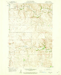
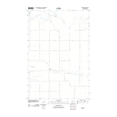
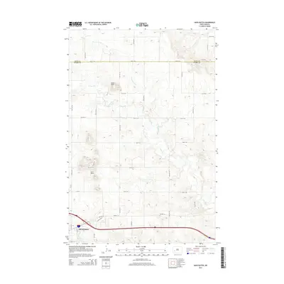
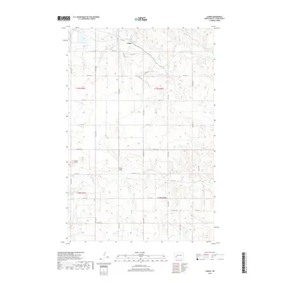
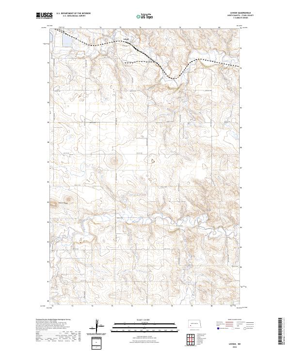 2024 Lehigh2024 Print · USGSStark County plains unfold in this recent survey, centered on the rail-side settlement of Lehigh. Genealogists and local historians can trace the paths of the BNSF Railway and the Heart River as they pass the distinct heights of Dobson Buttes.
 - 2024 Map of Dickinson South, 2024 Print
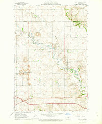
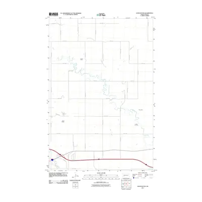
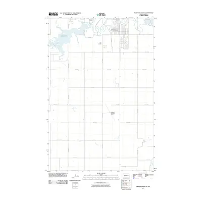
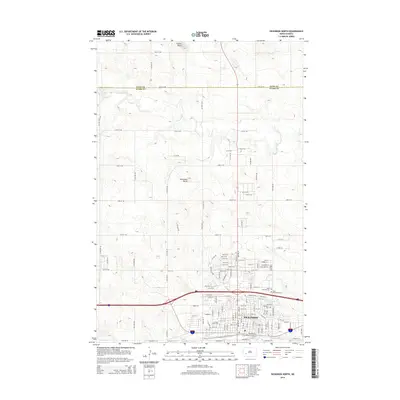
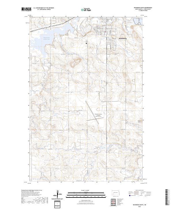 2024 Dickinson South2024 Print · USGSThe outskirts of Stark County come alive in this recent survey of the North Dakota plains. Researchers can trace the layout of the Dickinson/Theodore Roosevelt Regional Airport and the shores of Edward Arthur Patterson Lake.
Showing maps 1-25 of 27
Top cities near Dickinson
Frequently asked questions
- What are the different types of historical maps available for Dickinson?
- What is the oldest map of Dickinson?
- Where can I purchase historical maps of Dickinson for my home or office?
- Where can I download high-res historical maps of Dickinson?
- Are there historical topographic maps available for Dickinson?
- Is there historical aerial imagery available for Dickinson?
- Where are historical maps of Dickinson sourced from?