2000s (21st Century) Maps of Dickinson, North Dakota
Explore 20 historic maps of Dickinson from the 2000s (21st Century). These maps offer a rare glimpse into what life looked like during the 2000s — showing old roads, neighborhoods, homes, and landmarks that have changed or disappeared over time.
Whether you're researching your family's past, planning a metal detecting trip, or studying how Dickinson's landscape evolved across the 2000s, these high-resolution maps are a powerful tool for exploring the history of this region.
- Focus on a specific era: All maps on this page are from the 2000s, giving you a focused view of this time period.
- See what’s changed: Compare century-old streets, trails, and buildings to today's modern landscape using overlays and satellite layers.
- Research with precision: Use these maps for genealogy, historical research, land use analysis, or educational projects.
- View, download, or print: Maps are fully viewable online in high resolution, and can be downloaded or printed for your own records.
Start exploring Dickinson's history through authentic maps from the 2000s. This is your window into the past.
Dickinson, ND maps
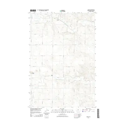
(20)- 2011 Map of Lehigh, 2011 Print
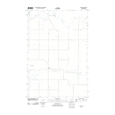 2011 Lehigh2011 Print · USGSCovers Dickinson, including Lehigh, Stark County, and other nearby areas
 - 2011 Map of Davis Buttes, 2011 Print
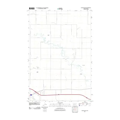 2011 Davis Buttes2011 Print · USGSCovers Dickinson, including Stark County, Dunn County, and other nearby areas
 - 2011 Map of Dickinson North, 2011 Print
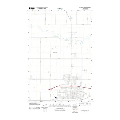 2011 Dickinson North2011 Print · USGSCovers Dickinson, including Stark County, Dunn County, and other nearby areas
 - 2011 Map of Dickinson South, 2011 Print
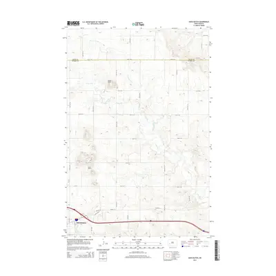
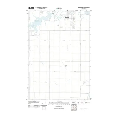 2011 Dickinson South2011 Print · USGSCovers Dickinson, including Stark County, United States, and other nearby areas
 - 2014 Map of Lehigh, 2014 Print
 2014 Lehigh2014 Print · USGSCovers Dickinson, including Lehigh, Stark County, and other nearby areas
 - 2014 Map of Dickinson South, 2014 Print
 2014 Dickinson South2014 Print · USGSCovers Dickinson, including Stark County, United States, and other nearby areas
 - 2014 Map of Davis Buttes, 2014 Print
 2014 Davis Buttes2014 Print · USGSCovers Dickinson, including Stark County, Dunn County, and other nearby areas
 - 2014 Map of Dickinson North, 2014 Print
 2014 Dickinson North2014 Print · USGSCovers Dickinson, including Stark County, Dunn County, and other nearby areas
 - 2017 Map of Dickinson North, 2017 Print
 2017 Dickinson North2017 Print · USGSCovers Dickinson, including Stark County, Dunn County, and other nearby areas
 - 2017 Map of Dickinson South, 2017 Print
 2017 Dickinson South2017 Print · USGSCovers Dickinson, including Stark County, United States, and other nearby areas
 - 2018 Map of Lehigh, 2018 Print
 2018 Lehigh2018 Print · USGSCovers Dickinson, including Lehigh, Stark County, and other nearby areas
 - 2018 Map of Davis Buttes, 2018 Print
 2018 Davis Buttes2018 Print · USGSCovers Dickinson, including Stark County, Dunn County, and other nearby areas
 - 2020 Map of Dickinson South, 2020 Print
 2020 Dickinson South2020 Print · USGSCovers Dickinson, including Stark County, United States, and other nearby areas
 - 2020 Map of Dickinson North, 2020 Print
 2020 Dickinson North2020 Print · USGSCovers Dickinson, including Stark County, Dunn County, and other nearby areas
 - 2020 Map of Lehigh, 2020 Print
 2020 Lehigh2020 Print · USGSCovers Dickinson, including Lehigh, Stark County, and other nearby areas
 - 2020 Map of Davis Buttes, 2020 Print
 2020 Davis Buttes2020 Print · USGSCovers Dickinson, including Stark County, Dunn County, and other nearby areas
 - 2024 Map of Lehigh, 2024 Print
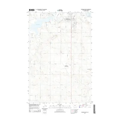
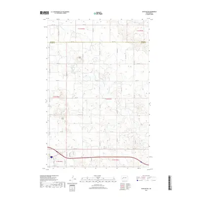
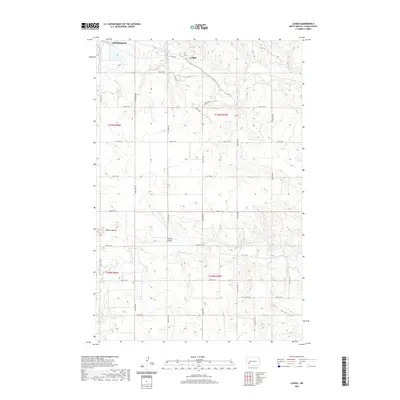
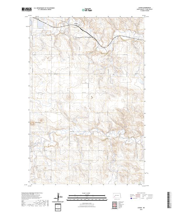 2024 Lehigh2024 Print · USGSStark County plains unfold in this recent survey, centered on the rail-side settlement of Lehigh. Genealogists and local historians can trace the paths of the BNSF Railway and the Heart River as they pass the distinct heights of Dobson Buttes.
 - 2024 Map of Dickinson South, 2024 Print
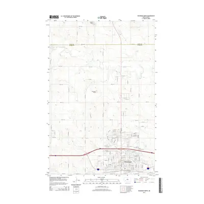
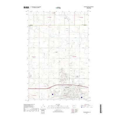
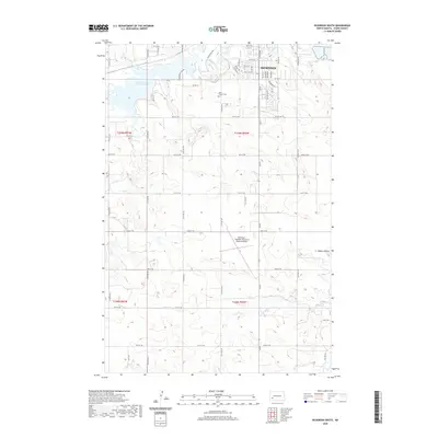
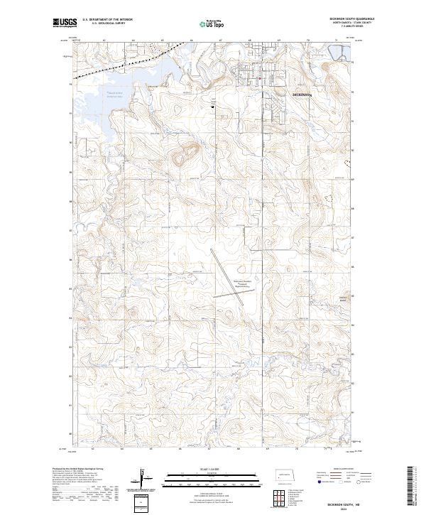 2024 Dickinson South2024 Print · USGSThe outskirts of Stark County come alive in this recent survey of the North Dakota plains. Researchers can trace the layout of the Dickinson/Theodore Roosevelt Regional Airport and the shores of Edward Arthur Patterson Lake.
 - 2024 Map of Dickinson North, 2024 Print
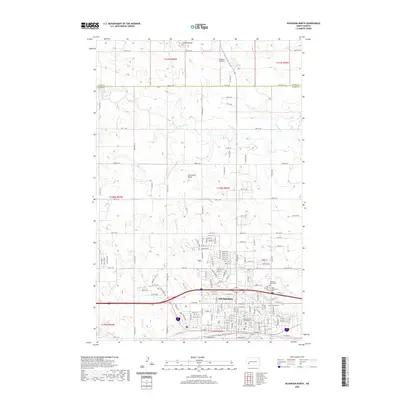
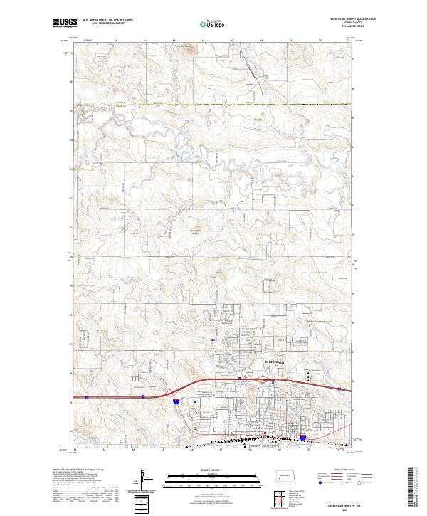 2024 Dickinson North2024 Print · USGSThe northern expansion of Dickinson is captured here alongside the rural landscapes of Stark and Dunn Counties. Genealogists and historians can trace the grounds of Dickinson Cem, Saint Wenceslaus Cem, and landmarks like the Stark County Courthouse and Seventeen Butte.
 - 2024 Map of Davis Buttes, 2024 Print
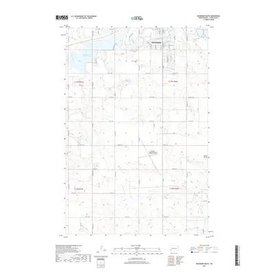
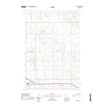
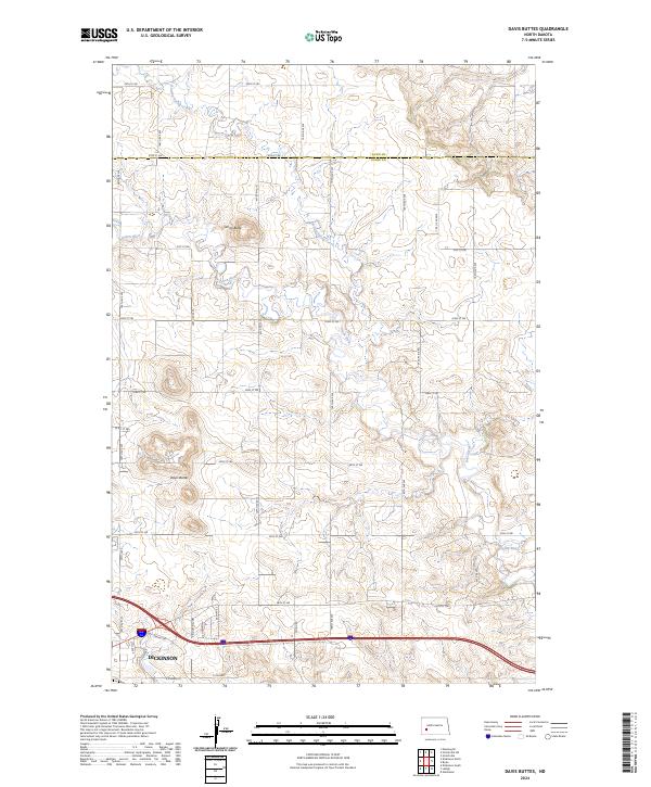 2024 Davis Buttes2024 Print · USGSThe eastern fringes of Dickinson meet the open prairie in this contemporary survey of the Stark County landscape. Trace the modern industrial growth along Energy Dr and the winding course of the Green River past Davis Buttes.
End of results
Showing maps 1-20 of 20
Top cities near Dickinson
Frequently asked questions
- What are the different types of historical maps available for Dickinson?
- What is the oldest map of Dickinson?
- Where can I purchase historical maps of Dickinson for my home or office?
- Where can I download high-res historical maps of Dickinson?
- Are there historical topographic maps available for Dickinson?
- Is there historical aerial imagery available for Dickinson?
- Where are historical maps of Dickinson sourced from?