2000s (21st Century) Maps of Sherbrooke Township, North Dakota
Explore 10 historic maps of Sherbrooke Township from the 2000s (21st Century). These maps offer a rare glimpse into what life looked like during the 2000s — showing old roads, neighborhoods, homes, and landmarks that have changed or disappeared over time.
Whether you're researching your family's past, planning a metal detecting trip, or studying how Sherbrooke Township's landscape evolved across the 2000s, these high-resolution maps are a powerful tool for exploring the history of this region.
- Focus on a specific era: All maps on this page are from the 2000s, giving you a focused view of this time period.
- See what’s changed: Compare century-old streets, trails, and buildings to today's modern landscape using overlays and satellite layers.
- Research with precision: Use these maps for genealogy, historical research, land use analysis, or educational projects.
- View, download, or print: Maps are fully viewable online in high resolution, and can be downloaded or printed for your own records.
Start exploring Sherbrooke Township's history through authentic maps from the 2000s. This is your window into the past.
Sherbrooke Township, ND maps
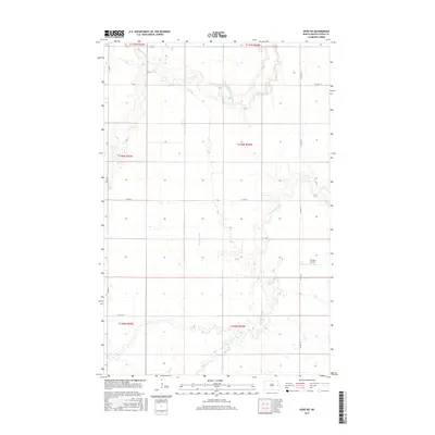
(10)- 2011 Map of Hope NE, 2011 Print
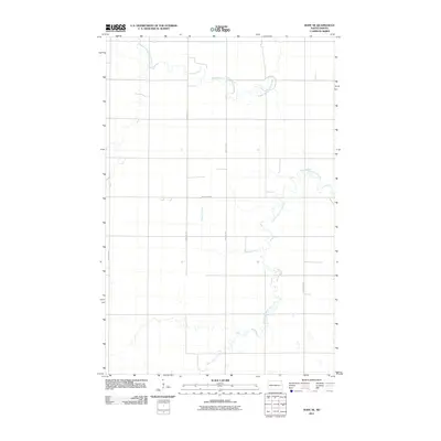 2011 Hope NE2011 Print · USGSCovers Sherbrooke Township, including Edendale Township, Enger Township, and other nearby areas
 - 2011 Map of Sherbrooke, 2011 Print
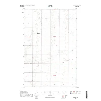
 2011 Sherbrooke2011 Print · USGSCovers Sherbrooke Township, including Golden Lake Township, Hugo Township, and other nearby areas
 - 2014 Map of Hope NE, 2014 Print
 2014 Hope NE2014 Print · USGSCovers Sherbrooke Township, including Edendale Township, Enger Township, and other nearby areas
 - 2014 Map of Sherbrooke, 2014 Print
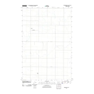
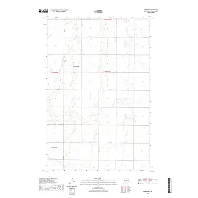
 2014 Sherbrooke2014 Print · USGSCovers Sherbrooke Township, including Golden Lake Township, Hugo Township, and other nearby areas
 - 2017 Map of Hope NE, 2017 Print
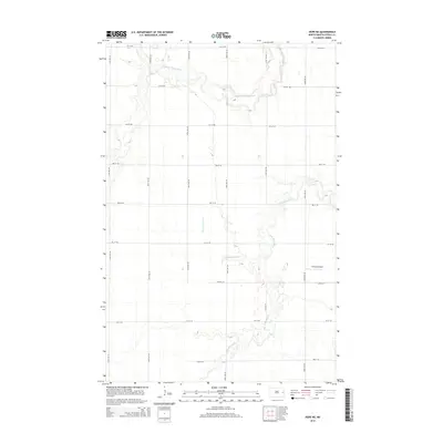
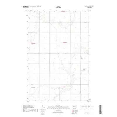
 2017 Hope NE2017 Print · USGSCovers Sherbrooke Township, including Edendale Township, Enger Township, and other nearby areas
 - 2018 Map of Sherbrooke, 2018 Print
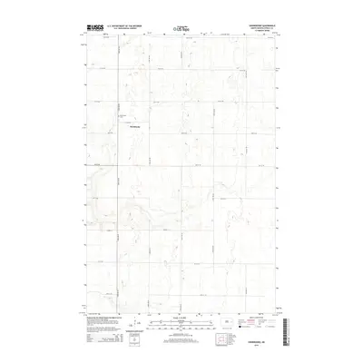
 2018 Sherbrooke2018 Print · USGSCovers Sherbrooke Township, including Golden Lake Township, Hugo Township, and other nearby areas
 - 2020 Map of Sherbrooke, 2020 Print
 2020 Sherbrooke2020 Print · USGSCovers Sherbrooke Township, including Golden Lake Township, Hugo Township, and other nearby areas
 - 2020 Map of Hope NE, 2020 Print
 2020 Hope NE2020 Print · USGSCovers Sherbrooke Township, including Edendale Township, Enger Township, and other nearby areas
 - 2024 Map of Hope NE, 2024 Print
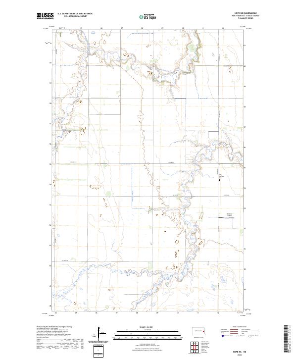 2024 Hope NE2024 Print · USGSSteele County's quiet prairie landscape is documented in the mid-2020s, showing the intersection of agricultural life and natural drainages. Researchers can locate the Perry Lutheran Cem and trace the winding South Branch Goose River through the township grid.
 - 2024 Map of Sherbrooke, 2024 Print
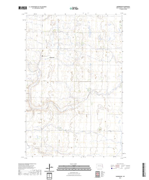 2024 Sherbrooke2024 Print · USGSSherbrooke and the surrounding Steele County prairie are depicted in this contemporary survey of the North Dakota plains. Genealogists and local historians can locate the Sherbrooke Cem and follow the rural grid of CO HWY 6 and Center St.
End of results
Showing maps 1-10 of 10
Top cities near Sherbrooke Township
- Hatton historical maps
- Finley historical maps
- Hope historical maps
- Sharon historical maps
- Colgate Township historical maps
Frequently asked questions
- What are the different types of historical maps available for Sherbrooke Township?
- What is the oldest map of Sherbrooke Township?
- Where can I purchase historical maps of Sherbrooke Township for my home or office?
- Where can I download high-res historical maps of Sherbrooke Township?
- Are there historical topographic maps available for Sherbrooke Township?
- Is there historical aerial imagery available for Sherbrooke Township?
- Where are historical maps of Sherbrooke Township sourced from?