1900s (20th Century) Maps of Bath Township, Ohio
Explore 18 historic maps of Bath Township from the 1900s (20th Century). These maps offer a rare glimpse into what life looked like during the 1900s — showing old roads, neighborhoods, homes, and landmarks that have changed or disappeared over time.
Whether you're researching your family's past, planning a metal detecting trip, or studying how Bath Township's landscape evolved across the 1900s, these high-resolution maps are a powerful tool for exploring the history of this region.
- Focus on a specific era: All maps on this page are from the 1900s, giving you a focused view of this time period.
- See what’s changed: Compare century-old streets, trails, and buildings to today's modern landscape using overlays and satellite layers.
- Research with precision: Use these maps for genealogy, historical research, land use analysis, or educational projects.
- View, download, or print: Maps are fully viewable online in high resolution, and can be downloaded or printed for your own records.
Start exploring Bath Township's history through authentic maps from the 1900s. This is your window into the past.
Bath Township, OH maps
(18)- 1906 Map of Lima, 1943 Print
 1906 Lima1943 Print · USGSNorthwest Ohio’s industrial heart beats at the turn of the century, dominated by a dense rail network. Trace the early Buckeye oil era through the Oil Tanks near Lima or locate family roots in Cridersville, Uniopolis, and Wapakoneta.2 unique versions available
 - 1906 Map of Columbus Grove, 1956 Print
 1906 Columbus Grove1956 Print · USGSIn the early twentieth century, Putnam and Allen Counties were centers of Ohio's rail and pike expansion. Researchers can trace historic transportation lines like the Ohio Electric Railway and locate long-standing community landmarks such as Leatherwood Church, Kalida, and Slabtown.
 - 1907 Map of Bluffton
 1907 Bluffton1907 Print · USGSNorthwestern Ohio at the height of the steam and electric rail era shows a landscape of growing college towns and productive farmland. Trace the intersection of the Ohio Northern RR and Lake Erie and Western RR, or find vanished community hubs like Lafayette Herring PO and the Hillsville School.3 unique versions available
 - 1908 Map of Columbus Grove, 1932 Print
 1908 Columbus Grove1932 Print · USGSNorthwestern Ohio at the start of the century reveals a landscape undergoing a rapid rail-driven expansion. Researchers can trace the path of the Lima and Pittsburg Electric RR and locate rural landmarks like the Leatherwood Church or the County Infirmary.
 - 1913 Map of Alger
 1913 Alger1913 Print · USGSWestern Ohio's agricultural heartland is documented here just before the Great War, showing a landscape shaped by drainage ditches and rail lines. Locate family landmarks like the Bee Hive School, Mt Zion Church, and the vanished stops along the Chicago & Erie Railroad.2 unique versions available
 - 1915 Map of Alger
 1915 Alger1915 Print · USGSNorthwest Ohio's agricultural and rail heartland is captured here just before the First World War. Genealogists can locate family homesteads near dozens of early rural schoolhouses like Kingsley School and trace the paths of the ERIE RR and LAKEVIEW ELECTRIC ROAD.4 unique versions available
 - 1943 Map of Alger
 1943 Alger1943 Print · USGSDuring the early 1940s, this pocket of Ohio was a landscape of rail-fed villages and drainage ditches. Trace family roots across a grid of rural schools like Sugarfree Sch, follow the Erie RR through Alger, or explore the shores of Indian Lake.
 - 1950 Map of Marion
 1950 Marion1950 Print · USGSCentral Ohio was a powerhouse of rail and river industry at the mid-century point, serving as a vital corridor between the Great Lakes and the Ohio River valley. Genealogists and rail historians can trace the paths of the Erie RR and Nickel Plate Road through towns like Bucyrus, Galion, and Upper Sandusky.
 - 1953 Map of Muncie, 1966 Print
 1953 Muncie1966 Print · USGSIndiana and Ohio borderlands thrive in the early fifties, showing a landscape defined by manufacturing cities and an intensive railroad network. Genealogists can trace family roots across the Indiana-Ohio line through Muncie, Celina, and Portland via the Pennsylvania railroad.5 unique versions available
 - 1956 Map of Muncie
 1956 Muncie1956 Print · USGSEastern Indiana and western Ohio are shown at a peak of rail-driven industry in the mid-fifties. Genealogists and rail historians can trace the paths of the Pennsylvania RR through Muncie or locate landmarks like Lake Saint Marys (Grand Lake Reservoir) and Frances Slocum State Forest.
 - 1960 Map of Cairo, 1961 Print
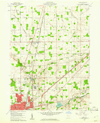 1960 Cairo1961 Print · USGSAllen County farmland meets the industrial expansion of Lima during the early sixties, showing a landscape defined by heavy rail and institutional grounds. Genealogists can trace family sites like Altstaetter Cem, the crossroads at Cairo, and the Lima State Hospital.4 unique versions available
 - 1961 Map of Lima, 1962 Print
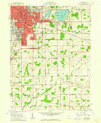 1961 Lima1962 Print · USGSAllen and Auglaize counties were reaching their mid-century peak in this early 1960s survey of the local rail and water infrastructure. Researchers can trace the path of the Old Indian Treaty Boundary or locate family sites at Fletcher Cem and Victory Ch.4 unique versions available
 - 1961 Map of Beaverdam, 1963 Print
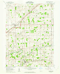 1961 Beaverdam1963 Print · USGSBeaverdam and Lafayette serve as local hubs in this 1960s survey of western Ohio's rail and river country. Researchers can trace rural lineages through numerous sites like Gratz Cem, Woodland Cem, and Liberty Chapel along the Ottawa River.3 unique versions available
 - 1961 Map of Harrod, 1963 Print
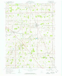 1961 Harrod1963 Print · USGSThe rural landscape of Allen and Auglaize Counties in the early sixties centers on the ERIE LACKAWANNA rail line and the Auglaize River. Genealogists can trace family footprints across dozens of local sites, including Harrod, West Newton, and Salem Cem.2 unique versions available
 - 1962 Map of Marion
 1962 Marion1962 Print · USGSCentral Ohio during the post-war era showcases a dense network of railroad towns and emerging interstate highways. Genealogists can trace family roots in smaller settlements like Houcktown and Marseilles or locate landmarks near Indian Lake.
 - 1966 Map of Marion, 1968 Print
 1966 Marion1968 Print · USGSCentral Ohio in the mid-sixties is captured during a period of rapid highway expansion and industrial connectivity. Genealogists and historians can trace rail-and-river networks through towns like Marion, Urbana, and Mount Vernon, or locate landmarks such as Malabar Farm and Black Hand Rock.3 unique versions available
 - 1986 Map of Marion
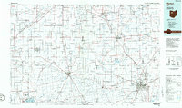 1986 Marion1986 Print · USGSNorthwest Ohio's agricultural and rail heartland is captured here in the mid-1980s, centered on the expansion of Marion and Kenton. Genealogists can trace family footprints near Bluffton College, old rail stops like Dola, and landmarks such as Indian Lake State Park.2 unique versions available
 - 1986 Map of Lima
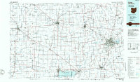 1986 Lima1986 Print · USGSWest Ohio and East Indiana are captured here in the mid-1980s, showcasing a landscape of productive farmland and industrial transit hubs. Genealogists and historians can trace the development of Lima and Van Wert or locate landmarks like Woodland Chapel and the Lima Ordnance Modification Center.3 unique versions available
End of results
Showing maps 1-18 of 18
Top cities near Bath Township
- Lima historical maps
- Wapakoneta historical maps
- Ada historical maps
- Ottawa historical maps
- Bluffton historical maps
- Fort Shawnee historical maps
See more
Top neighborhoods of Bath Township
Frequently asked questions
- What are the different types of historical maps available for Bath Township?
- What is the oldest map of Bath Township?
- Where can I purchase historical maps of Bath Township for my home or office?
- Where can I download high-res historical maps of Bath Township?
- Are there historical topographic maps available for Bath Township?
- Is there historical aerial imagery available for Bath Township?
- Where are historical maps of Bath Township sourced from?