Old Maps of Beaverdam, Ohio for Genealogy
Trace your family roots with 11 historic maps of Beaverdam. These high-res maps reveal old neighborhoods, homesites, landmarks, and streets — helping you uncover where your ancestors lived and how the area evolved over time.
- Explore historic neighborhoods: Identify where your relatives may have lived in the 1800s or 1900s.
- Compare maps over time: Trace the changes in streets, buildings, and landmarks for multi-generational research.
- Perfect for genealogy & ancestry research: Used by family historians and researchers to map out lineage and migration.
These maps are an incredible resource for exploring your personal connection to Beaverdam's past.
Beaverdam, OH maps
(11)- 1907 Map of Bluffton
 1907 Bluffton1907 Print · USGSNorthwestern Ohio at the height of the steam and electric rail era shows a landscape of growing college towns and productive farmland. Trace the intersection of the Ohio Northern RR and Lake Erie and Western RR, or find vanished community hubs like Lafayette Herring PO and the Hillsville School.3 unique versions available
 - 1950 Map of Marion
 1950 Marion1950 Print · USGSCentral Ohio was a powerhouse of rail and river industry at the mid-century point, serving as a vital corridor between the Great Lakes and the Ohio River valley. Genealogists and rail historians can trace the paths of the Erie RR and Nickel Plate Road through towns like Bucyrus, Galion, and Upper Sandusky.
 - 1961 Map of Beaverdam, 1963 Print
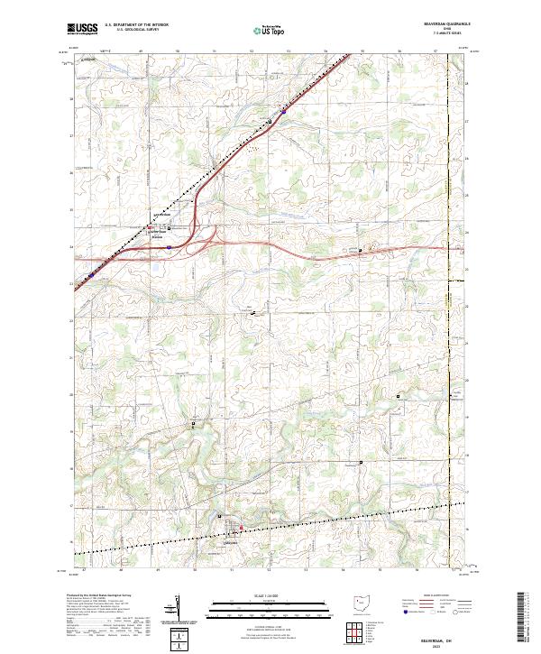
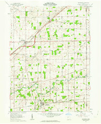 1961 Beaverdam1963 Print · USGSBeaverdam and Lafayette serve as local hubs in this 1960s survey of western Ohio's rail and river country. Researchers can trace rural lineages through numerous sites like Gratz Cem, Woodland Cem, and Liberty Chapel along the Ottawa River.3 unique versions available
 - 1962 Map of Marion
 1962 Marion1962 Print · USGSCentral Ohio during the post-war era showcases a dense network of railroad towns and emerging interstate highways. Genealogists can trace family roots in smaller settlements like Houcktown and Marseilles or locate landmarks near Indian Lake.
 - 1966 Map of Marion, 1968 Print
 1966 Marion1968 Print · USGSCentral Ohio in the mid-sixties is captured during a period of rapid highway expansion and industrial connectivity. Genealogists and historians can trace rail-and-river networks through towns like Marion, Urbana, and Mount Vernon, or locate landmarks such as Malabar Farm and Black Hand Rock.3 unique versions available
 - 1986 Map of Marion
 1986 Marion1986 Print · USGSNorthwest Ohio's agricultural and rail heartland is captured here in the mid-1980s, centered on the expansion of Marion and Kenton. Genealogists can trace family footprints near Bluffton College, old rail stops like Dola, and landmarks such as Indian Lake State Park.2 unique versions available
 - 2010 Map of Beaverdam, 2010 Print
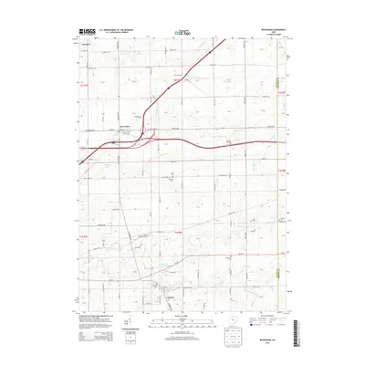
 2010 Beaverdam2010 Print · USGSCovers Beaverdam, including Lafayette, Richland Township, and other nearby areas
 - 2013 Map of Beaverdam, 2013 Print
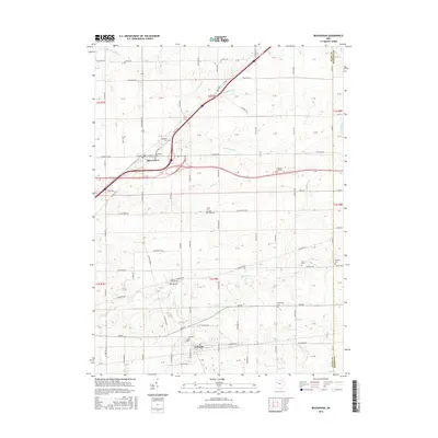
 2013 Beaverdam2013 Print · USGSCovers Beaverdam, including Lafayette, Richland Township, and other nearby areas
 - 2016 Map of Beaverdam, 2016 Print
 2016 Beaverdam2016 Print · USGSCovers Beaverdam, including Lafayette, Richland Township, and other nearby areas
 - 2019 Map of Beaverdam, 2019 Print
 2019 Beaverdam2019 Print · USGSCovers Beaverdam, including Lafayette, Richland Township, and other nearby areas
 - 2023 Map of Beaverdam, 2023 Print
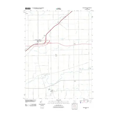
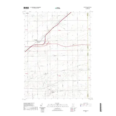
 2023 Beaverdam2023 Print · USGSBeaverdam and Lafayette are shown here in this contemporary Allen County study, where the historic crossroads of the Lincoln Highway meet. Researchers can trace local lineage through numerous sites like Woodland Cem, Lafayette Cem, and Beaver Dam Station.
End of results
Showing maps 1-11 of 11
Top cities near Beaverdam
- Lima historical maps
- Ada historical maps
- Ottawa historical maps
- Bluffton historical maps
- Fort Shawnee historical maps
- Columbus Grove historical maps
See more
Frequently asked questions
- What are the different types of historical maps available for Beaverdam?
- What is the oldest map of Beaverdam?
- Where can I purchase historical maps of Beaverdam for my home or office?
- Where can I download high-res historical maps of Beaverdam?
- Are there historical topographic maps available for Beaverdam?
- Is there historical aerial imagery available for Beaverdam?
- Where are historical maps of Beaverdam sourced from?