Old Maps of Monroe Township, Ohio for Metal Detecting
Plan your next treasure hunt with 34 historic maps of Monroe Township. Find old homesites, ghost towns, trails, and gathering spots that may be lost to time — perfect for identifying promising metal detecting locations.
- Locate forgotten sites: Uncover places like long-lost settlements, abandoned rail lines, or gathering spots.
- Plan better hunts: Use map overlays combined with LiDAR or satellite views to narrow in on historically rich areas.
- Made for detectorists: Thousands of hobbyists use these maps to discover relics, coins, and hidden history.
Use these historic maps to boost your research and find new opportunities beneath the surface of Monroe Township.
Monroe Township, OH maps
(34)- 1906 Map of Columbus Grove, 1956 Print
 1906 Columbus Grove1956 Print · USGSIn the early twentieth century, Putnam and Allen Counties were centers of Ohio's rail and pike expansion. Researchers can trace historic transportation lines like the Ohio Electric Railway and locate long-standing community landmarks such as Leatherwood Church, Kalida, and Slabtown.
 - 1907 Map of Bluffton
 1907 Bluffton1907 Print · USGSNorthwestern Ohio at the height of the steam and electric rail era shows a landscape of growing college towns and productive farmland. Trace the intersection of the Ohio Northern RR and Lake Erie and Western RR, or find vanished community hubs like Lafayette Herring PO and the Hillsville School.3 unique versions available
 - 1908 Map of Columbus Grove, 1932 Print
 1908 Columbus Grove1932 Print · USGSNorthwestern Ohio at the start of the century reveals a landscape undergoing a rapid rail-driven expansion. Researchers can trace the path of the Lima and Pittsburg Electric RR and locate rural landmarks like the Leatherwood Church or the County Infirmary.
 - 1950 Map of Marion
 1950 Marion1950 Print · USGSCentral Ohio was a powerhouse of rail and river industry at the mid-century point, serving as a vital corridor between the Great Lakes and the Ohio River valley. Genealogists and rail historians can trace the paths of the Erie RR and Nickel Plate Road through towns like Bucyrus, Galion, and Upper Sandusky.
 - 1953 Map of Muncie, 1966 Print
 1953 Muncie1966 Print · USGSIndiana and Ohio borderlands thrive in the early fifties, showing a landscape defined by manufacturing cities and an intensive railroad network. Genealogists can trace family roots across the Indiana-Ohio line through Muncie, Celina, and Portland via the Pennsylvania railroad.5 unique versions available
 - 1956 Map of Muncie
 1956 Muncie1956 Print · USGSEastern Indiana and western Ohio are shown at a peak of rail-driven industry in the mid-fifties. Genealogists and rail historians can trace the paths of the Pennsylvania RR through Muncie or locate landmarks like Lake Saint Marys (Grand Lake Reservoir) and Frances Slocum State Forest.
 - 1960 Map of Columbus Grove, 1961 Print
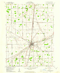 1960 Columbus Grove1961 Print · USGSColumbus Grove in the early sixties sits at a busy tri-rail junction where the landscape is still marked by the Old Indian Treaty Boundary. Genealogists can trace family lands along Trumbo Road and locate several burial sites like Bogart Cem and Truro Cem.2 unique versions available
 - 1960 Map of Bluffton, 1961 Print
 1960 Bluffton1961 Print · USGSAgricultural life in Allen and Putnam counties reached a mid-century peak when rail lines and country roads still defined the local economy. Genealogists and historians can trace family-named landmarks like Hilty Cem and institutional hubs such as Bluffton College.4 unique versions available
 - 1960 Map of Cairo, 1961 Print
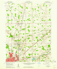 1960 Cairo1961 Print · USGSAllen County farmland meets the industrial expansion of Lima during the early sixties, showing a landscape defined by heavy rail and institutional grounds. Genealogists can trace family sites like Altstaetter Cem, the crossroads at Cairo, and the Lima State Hospital.4 unique versions available
 - 1961 Map of Beaverdam, 1963 Print
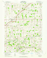 1961 Beaverdam1963 Print · USGSBeaverdam and Lafayette serve as local hubs in this 1960s survey of western Ohio's rail and river country. Researchers can trace rural lineages through numerous sites like Gratz Cem, Woodland Cem, and Liberty Chapel along the Ottawa River.3 unique versions available
 - 1962 Map of Marion
 1962 Marion1962 Print · USGSCentral Ohio during the post-war era showcases a dense network of railroad towns and emerging interstate highways. Genealogists can trace family roots in smaller settlements like Houcktown and Marseilles or locate landmarks near Indian Lake.
 - 1966 Map of Marion, 1968 Print
 1966 Marion1968 Print · USGSCentral Ohio in the mid-sixties is captured during a period of rapid highway expansion and industrial connectivity. Genealogists and historians can trace rail-and-river networks through towns like Marion, Urbana, and Mount Vernon, or locate landmarks such as Malabar Farm and Black Hand Rock.3 unique versions available
 - 1986 Map of Marion
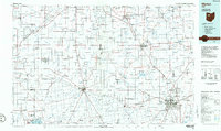 1986 Marion1986 Print · USGSNorthwest Ohio's agricultural and rail heartland is captured here in the mid-1980s, centered on the expansion of Marion and Kenton. Genealogists can trace family footprints near Bluffton College, old rail stops like Dola, and landmarks such as Indian Lake State Park.2 unique versions available
 - 1986 Map of Lima
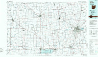 1986 Lima1986 Print · USGSWest Ohio and East Indiana are captured here in the mid-1980s, showcasing a landscape of productive farmland and industrial transit hubs. Genealogists and historians can trace the development of Lima and Van Wert or locate landmarks like Woodland Chapel and the Lima Ordnance Modification Center.3 unique versions available
 - 2010 Map of Cairo, 2010 Print
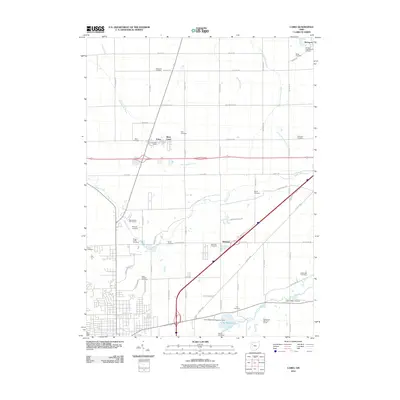 2010 Cairo2010 Print · USGSNorth of Lima in the early twenty-first century, this landscape is a crossroads of historic rural settlements and modern water management. Genealogists can trace family names through numerous burial sites like Rockport Presbyterian Cemetery, Sproat Cemetery, and Williams Cemetery.
 - 2010 Map of Columbus Grove, 2010 Print
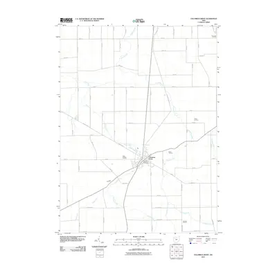 2010 Columbus Grove2010 Print · USGSColumbus Grove and the surrounding Putnam County farmland are captured here in the early twenty-first century. Genealogists and local historians can trace family locations near Saint Anthony Cemetery, Truro Cemetery, and the banks of Plum Creek.
 - 2010 Map of Bluffton, 2010 Print
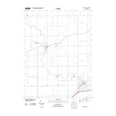 2010 Bluffton2010 Print · USGSBluffton and Pandora are captured at the start of the decade, showing a landscape shaped by Mennonite history and a complex network of prairie runs. Genealogists can locate several family-named burial grounds like Hilty Cemetery or study the campus layout of Bluffton College.
 - 2010 Map of Beaverdam, 2010 Print
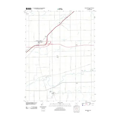 2010 Beaverdam2010 Print · USGSThis Allen County landscape during the early 21st century highlights a dense network of farm-to-market roads and early settlements. Genealogists can trace family names through numerous burial sites like Woodlawn Cemetery and Liberty Chapel Cemetery near Beaverdam.
 - 2013 Map of Bluffton, 2013 Print
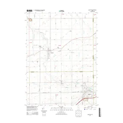 2013 Bluffton2013 Print · USGSThe crossroads of Allen and Putnam Counties come alive in this study of a storied Mennonite landscape. Genealogists and historians can trace the foundations of Bluffton Univ or locate family plots at Johime Mennonite Cem and Riley Creek Cem.
 - 2013 Map of Beaverdam, 2013 Print
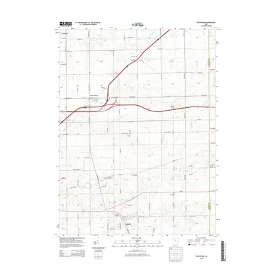 2013 Beaverdam2013 Print · USGSBeaverdam and Lafayette are captured here in the early twenty-first century, anchored by the crossroads of the historic Lincoln Highway. Genealogists can trace family lines through several rural burial sites, including Woodlawn Cemetery, Gratz Cemetery, and Lafayette Cemetery.
 - 2013 Map of Cairo, 2013 Print
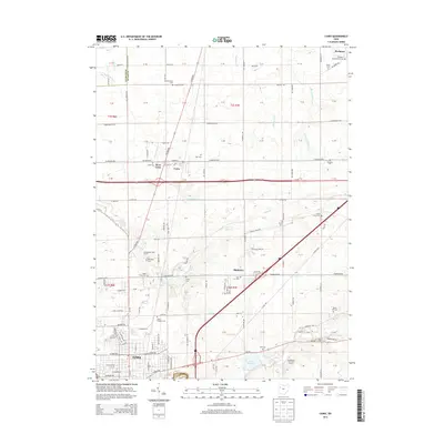 2013 Cairo2013 Print · USGSNorth of the city of Lima in the early 2010s, this area shows a dense network of rural cemeteries and crossroad settlements. Trace local family roots at the Rockport Presbyterian Cem or the State Hospital Cem, and explore the land around Cairo and Slabtown.
 - 2013 Map of Columbus Grove, 2013 Print
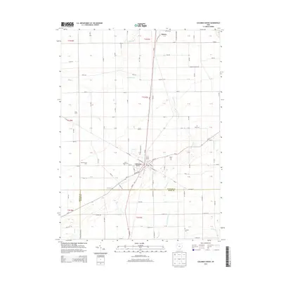 2013 Columbus Grove2013 Print · USGSPutnam County's agricultural heartland is captured here in the early twenty-first century, centered on the village of Columbus Grove. Genealogists and local historians can trace family ties at Saint Anthony Cem, Bogart Cem, and Truro Cem.
 - 2016 Map of Beaverdam, 2016 Print
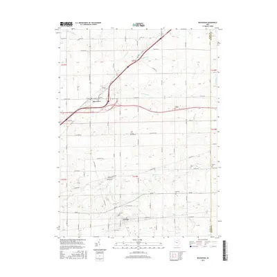 2016 Beaverdam2016 Print · USGSBeaverdam and Lafayette serve as focal points for this 2010s study of Allen County transportation and settlement. Genealogists can trace family history through numerous rural burial grounds like Liberty Chapel Cem and Pleasant Hill Cem along the historic Lincoln Hwy.
 - 2016 Map of Bluffton, 2016 Print
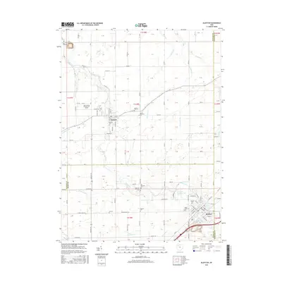 2016 Bluffton2016 Print · USGSThe borderlands of Putnam and Allen Counties come into focus here during the mid-2010s, centered on the historic college town of Bluffton. Genealogists and historians can trace numerous family-named landmarks and several distinct burial grounds, including the Old Mennonite Cem and Zion Cem.
 - 2016 Map of Cairo, 2016 Print
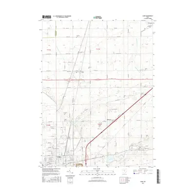 2016 Cairo2016 Print · USGSThe northern reaches of Lima and the village of Cairo are captured in the mid-2010s, showing a landscape of fertile Ohio farmland and growing suburban fringes. Researchers can trace numerous family burial sites and rural landmarks, from Blue Lick Cem to the State Hospital Cem.
Showing maps 1-25 of 34
Top cities near Monroe Township
- Lima historical maps
- Ada historical maps
- Ottawa historical maps
- Bluffton historical maps
- Fort Shawnee historical maps
- Leipsic historical maps
See more
Top neighborhoods of Monroe Township
Frequently asked questions
- What are the different types of historical maps available for Monroe Township?
- What is the oldest map of Monroe Township?
- Where can I purchase historical maps of Monroe Township for my home or office?
- Where can I download high-res historical maps of Monroe Township?
- Are there historical topographic maps available for Monroe Township?
- Is there historical aerial imagery available for Monroe Township?
- Where are historical maps of Monroe Township sourced from?