Old Maps of Green Township, Ohio for Academic Research
Study the evolution of Green Township with 23 high-resolution historic maps. Whether you're teaching, researching, or modeling changes in land use, these maps provide essential visual documentation of urban, environmental, and geographic change.
- Analyze long-term change: Track patterns in development, transportation, and natural features.
- Ideal for environmental or urban studies: Support academic projects with primary historical map data.
- Use in the classroom or lab: Educators and researchers rely on these maps to bring historical context to life.
These maps are a powerful tool for teaching, research, and visualizing how Green Township has changed over the decades.
Green Township, OH maps
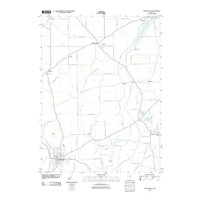
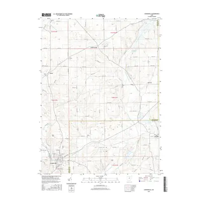
(23)- 1912 Map of Loudonville, 1958 Print
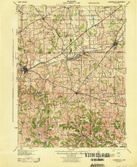
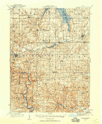 1912 Loudonville1958 Print · USGSBefore modern highways rearranged rural Ohio, this area thrived as a network of rail-side towns and country schoolhouses. Genealogists can trace family footprints at Germany School, the Greenville Treaty Line, and the village of Shreve.
 - 1912 Map of Perrysville, 1959 Print
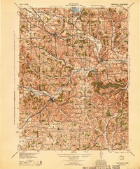
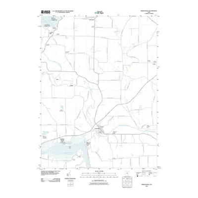
 1912 Perrysville1959 Print · USGSRichland and Ashland counties were thriving agricultural and rail hubs during this era of rural development. Genealogists and local historians can trace the specific locations of many vanished schools and landmarks, from Black Swamp School to the prominent Gatton Rock.
 - 1914 Map of Loudonville, 1944 Print
 1914 Loudonville1944 Print · USGSNorth-central Ohio is captured here in the years before the Great War, showing a dense network of hill-country farms and railroad towns. Genealogists can trace family roots through dozens of local landmarks like Germany School, Miley Crossroads, and the historic Greenville Treaty Line.
 - 1915 Map of Perrysville, 1944 Print
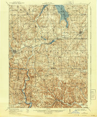
 1915 Perrysville1944 Print · USGSAshland and Richland counties are captured here just before the First World War, when the landscape was a patchwork of small school districts and river-bottom farms. Genealogists can locate family landmarks such as St James School, the Treaty 1795 Line, and the rural village of Newville.
 - 1943 Map of Loudonville
 1943 Loudonville1943 Print · USGSAshland and Holmes counties during the early years of the war show a landscape defined by the PENNSYLVANIA rail line and the Mohican River. Genealogists can locate dozens of country schools like Ball Alley Sch and settlements such as Nashville or Big Prairie.
 - 1944 Map of Perrysville
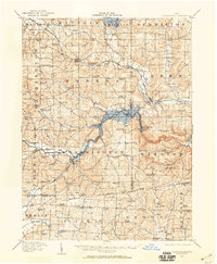
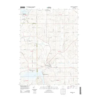
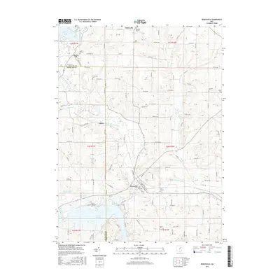
 1944 Perrysville1944 Print · USGSThe Mohican River valley in the mid-1940s reveals a transition from traditional milling to modern water management with the Pleasant Hill Reservoir. Genealogists can trace family footprints across dozens of country school sites like Knotty Oak Sch and the vanished crossroads of Black Swamp.
 - 1950 Map of Marion
 1950 Marion1950 Print · USGSCentral Ohio was a powerhouse of rail and river industry at the mid-century point, serving as a vital corridor between the Great Lakes and the Ohio River valley. Genealogists and rail historians can trace the paths of the Erie RR and Nickel Plate Road through towns like Bucyrus, Galion, and Upper Sandusky.
 - 1961 Map of Loudonville, 1963 Print
 1961 Loudonville1963 Print · USGSIn the early sixties, the Mohican River valley around Loudonville remained a landscape of active rail transport and rural industry. Researchers can trace family sites at County Line Cem, the local impact of the Mohicanville Dam, and the early oil and gas fields near McZena.3 unique versions available
 - 1961 Map of Perrysville, 1963 Print
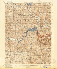
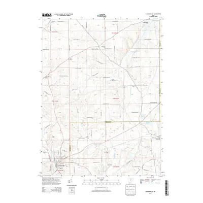
 1961 Perrysville1963 Print · USGSAshland and Richland counties are captured here in the early sixties as industrial flood control and rural energy production shaped the valley. Genealogists and local historians can trace family plots at Green Lawn Cem or Shambaugh Cem and locate vanished landmarks like the Long Landing Strip and Widowville.3 unique versions available
 - 1962 Map of Marion
 1962 Marion1962 Print · USGSCentral Ohio during the post-war era showcases a dense network of railroad towns and emerging interstate highways. Genealogists can trace family roots in smaller settlements like Houcktown and Marseilles or locate landmarks near Indian Lake.
 - 1966 Map of Marion, 1968 Print
 1966 Marion1968 Print · USGSCentral Ohio in the mid-sixties is captured during a period of rapid highway expansion and industrial connectivity. Genealogists and historians can trace rail-and-river networks through towns like Marion, Urbana, and Mount Vernon, or locate landmarks such as Malabar Farm and Black Hand Rock.3 unique versions available
 - 1986 Map of Mansfield
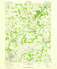
 1986 Mansfield1986 Print · USGSNorth-central Ohio in the mid-eighties shows a landscape of industrial towns and large-scale water management projects. Researchers can trace historic sites like the Mansfield Reformatory, Malabar Farm State Park, and the racing grounds at Mid-Ohio Race Course.
 - 1994 Map of Mansfield
 1994 Mansfield1994 Print · USGSThe Mansfield and Ashland corridor of the 1990s reveals a landscape of industrial rail junctions and extensive state forests. You can trace the drainage of the Mohican River through reservoirs like Charles Mill Lake or locate sites such as Malabar Farm State Park.
 - 2010 Map of Loudonville, 2010 Print
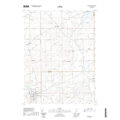
 2010 Loudonville2010 Print · USGSCovers Green Township, including Loudonville, Lake Township, and other nearby areas
 - 2010 Map of Perrysville, 2010 Print
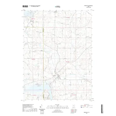
 2010 Perrysville2010 Print · USGSCovers Green Township, including Perrysville, Monroe Township, and other nearby areas
 - 2013 Map of Perrysville, 2013 Print
 2013 Perrysville2013 Print · USGSCovers Green Township, including Perrysville, Monroe Township, and other nearby areas
 - 2013 Map of Loudonville, 2013 Print
 2013 Loudonville2013 Print · USGSCovers Green Township, including Loudonville, Lake Township, and other nearby areas
 - 2016 Map of Loudonville, 2016 Print
 2016 Loudonville2016 Print · USGSCovers Green Township, including Loudonville, Lake Township, and other nearby areas
 - 2016 Map of Perrysville, 2016 Print
 2016 Perrysville2016 Print · USGSCovers Green Township, including Perrysville, Monroe Township, and other nearby areas
 - 2019 Map of Loudonville, 2019 Print
 2019 Loudonville2019 Print · USGSCovers Green Township, including Loudonville, Lake Township, and other nearby areas
 - 2019 Map of Perrysville, 2019 Print
 2019 Perrysville2019 Print · USGSCovers Green Township, including Perrysville, Monroe Township, and other nearby areas
 - 2023 Map of Loudonville, 2023 Print
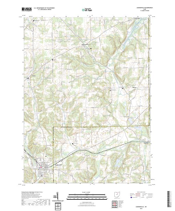 2023 Loudonville2023 Print · USGSLoudonville and the surrounding townships of Ashland and Holmes County are documented here in modern detail. Genealogists and local researchers can trace numerous rural burial sites like Old Sixteen Cem, McKay Cem, and the high ground at Bold Knob.
 - 2023 Map of Perrysville, 2023 Print
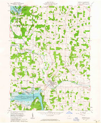
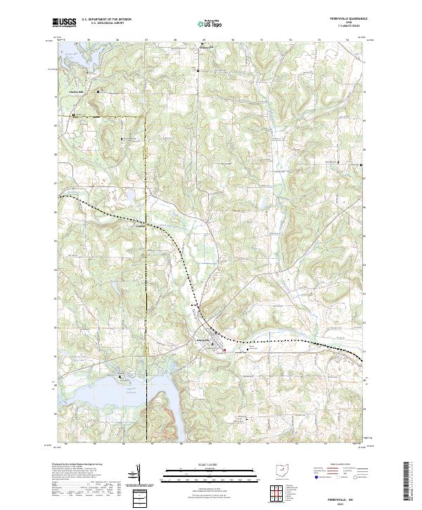 2023 Perrysville2023 Print · USGSModern-day Perrysville and the Mohican River valley are shown here in detail, captured as they appear today. Researchers can locate numerous local burial sites like Shambaugh Cem and Old Presbyterian Cem or trace the shores of Pleasant Hill Lake.
End of results
Showing maps 1-23 of 23
Top cities near Green Township
- Mansfield historical maps
- Ashland historical maps
- Loudonville historical maps
- Bellville historical maps
- Butler historical maps
- Perrysville historical maps
See more
Top neighborhoods of Green Township
Frequently asked questions
- What are the different types of historical maps available for Green Township?
- What is the oldest map of Green Township?
- Where can I purchase historical maps of Green Township for my home or office?
- Where can I download high-res historical maps of Green Township?
- Are there historical topographic maps available for Green Township?
- Is there historical aerial imagery available for Green Township?
- Where are historical maps of Green Township sourced from?