2000s (21st Century) Maps of Geneva Township, Ohio
Explore 10 historic maps of Geneva Township from the 2000s (21st Century). These maps offer a rare glimpse into what life looked like during the 2000s — showing old roads, neighborhoods, homes, and landmarks that have changed or disappeared over time.
Whether you're researching your family's past, planning a metal detecting trip, or studying how Geneva Township's landscape evolved across the 2000s, these high-resolution maps are a powerful tool for exploring the history of this region.
- Focus on a specific era: All maps on this page are from the 2000s, giving you a focused view of this time period.
- See what’s changed: Compare century-old streets, trails, and buildings to today's modern landscape using overlays and satellite layers.
- Research with precision: Use these maps for genealogy, historical research, land use analysis, or educational projects.
- View, download, or print: Maps are fully viewable online in high resolution, and can be downloaded or printed for your own records.
Start exploring Geneva Township's history through authentic maps from the 2000s. This is your window into the past.
Geneva Township, OH maps
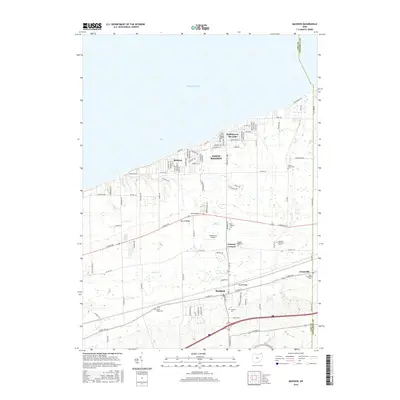
(10)- 2010 Map of Madison, 2010 Print
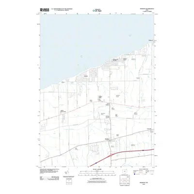 2010 Madison2010 Print · USGSCovers Geneva Township, including North Madison, Madison, and other nearby areas
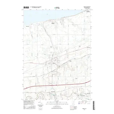
 - 2010 Map of Geneva, 2010 Print
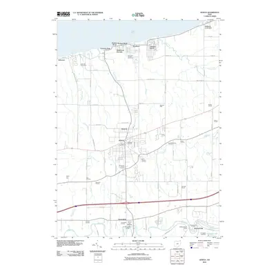 2010 Geneva2010 Print · USGSCovers Geneva Township, including Geneva, Harpersfield, and other nearby areas
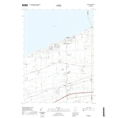
 - 2013 Map of Madison, 2013 Print
 2013 Madison2013 Print · USGSCovers Geneva Township, including North Madison, Madison, and other nearby areas
 - 2013 Map of Geneva, 2013 Print
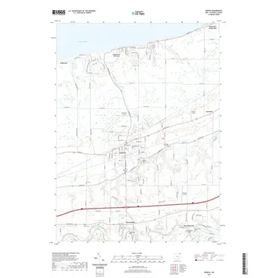
 2013 Geneva2013 Print · USGSCovers Geneva Township, including Geneva, Harpersfield, and other nearby areas
 - 2016 Map of Madison, 2016 Print
 2016 Madison2016 Print · USGSCovers Geneva Township, including North Madison, Madison, and other nearby areas
 - 2016 Map of Geneva, 2016 Print
 2016 Geneva2016 Print · USGSCovers Geneva Township, including Geneva, Harpersfield, and other nearby areas
 - 2019 Map of Geneva, 2019 Print
 2019 Geneva2019 Print · USGSCovers Geneva Township, including Geneva, Harpersfield, and other nearby areas
 - 2019 Map of Madison, 2019 Print
 2019 Madison2019 Print · USGSCovers Geneva Township, including North Madison, Madison, and other nearby areas
 - 2023 Map of Geneva, 2023 Print
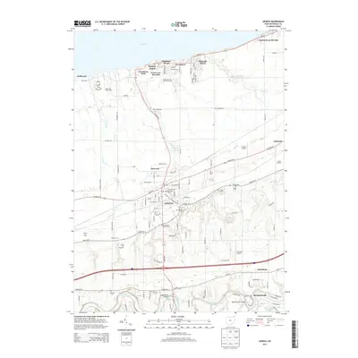
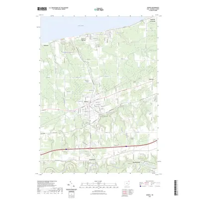 2023 Geneva2023 Print · USGSThe Ashtabula County shoreline meets the southern reaches of the Western Reserve in this recent study of the Lake Erie coast. Researchers can trace family history at Evergreen Cem or explore the aviation footprints of Old Hickory Airpark and Paine's Airport.
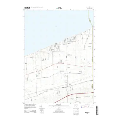
 - 2023 Map of Madison, 2023 Print
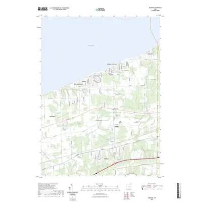 2023 Madison2023 Print · USGSLake County's shoreline and interior ridges are captured here in the 2020s, showcasing the transition from beach communities to historic village centers. Genealogists can trace several burial sites including North Ridge Cem and Dock Road Cem near Genung Corners.
End of results
Showing maps 1-10 of 10
Top cities near Geneva Township
- Ashtabula historical maps
- Saybrook historical maps
- North Madison historical maps
- Geneva historical maps
- Hambden Township historical maps
- Edgewood historical maps
See more
Top neighborhoods of Geneva Township
Frequently asked questions
- What are the different types of historical maps available for Geneva Township?
- What is the oldest map of Geneva Township?
- Where can I purchase historical maps of Geneva Township for my home or office?
- Where can I download high-res historical maps of Geneva Township?
- Are there historical topographic maps available for Geneva Township?
- Is there historical aerial imagery available for Geneva Township?
- Where are historical maps of Geneva Township sourced from?